
10 Nov 2026
In a flood response, the people making decisions need numbers before the water goes down: which structures are damaged, where a levee is starting to leak, and how much water is coming downstream. In July 2026, when a typhoon brought days of heavy rain to southern Guangxi, CHC Navigation sent field teams with drones and an unmanned surface vessel to collect that information for the emergency response. This article follows the first 48 hours of that flood survey, and the equipment that made it possible to work in rain, at night and on rivers running at record levels.
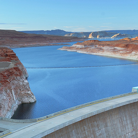
From 4 July, persistent heavy rain fell on Qinzhou, Guigang and the surrounding counties. Towns and villages flooded, roads were cut and homes were cut off. On 6 July the Liulan Reservoir developed a risk of dam failure, and the Yu River carried its largest flood in recent years. Small and medium rivers across the region rose quickly, and several hydrological stations recorded their highest water levels on record.
CHC Navigation's teams in Guangxi and Guizhou assembled a technical response team with topographic and hydrological survey equipment and traveled overnight to the affected area. Working alongside emergency rescue teams, a national natural hazards research institute and local hydrological stations, they split into two groups with three tasks:
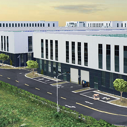
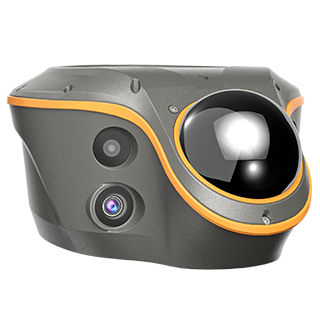
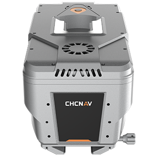
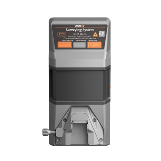
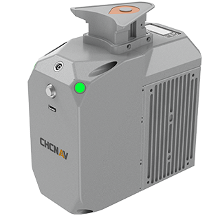
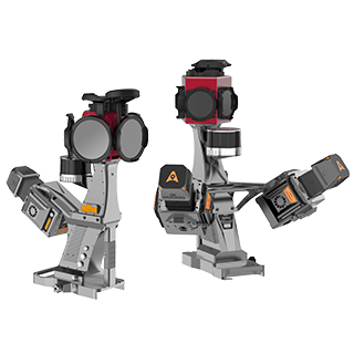
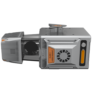
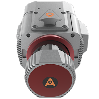
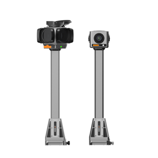
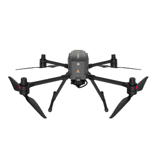
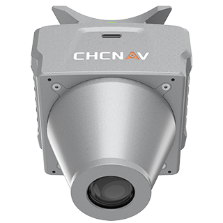
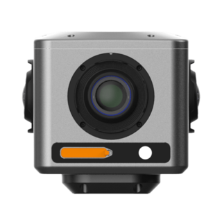
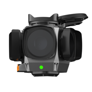
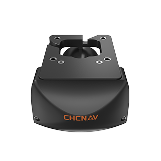
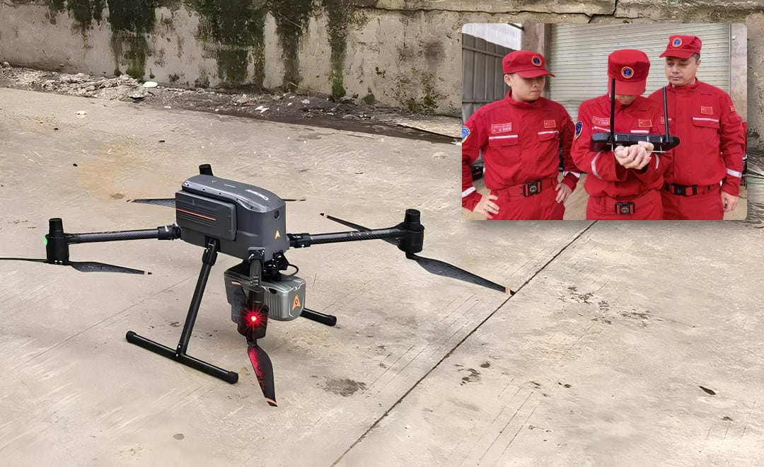
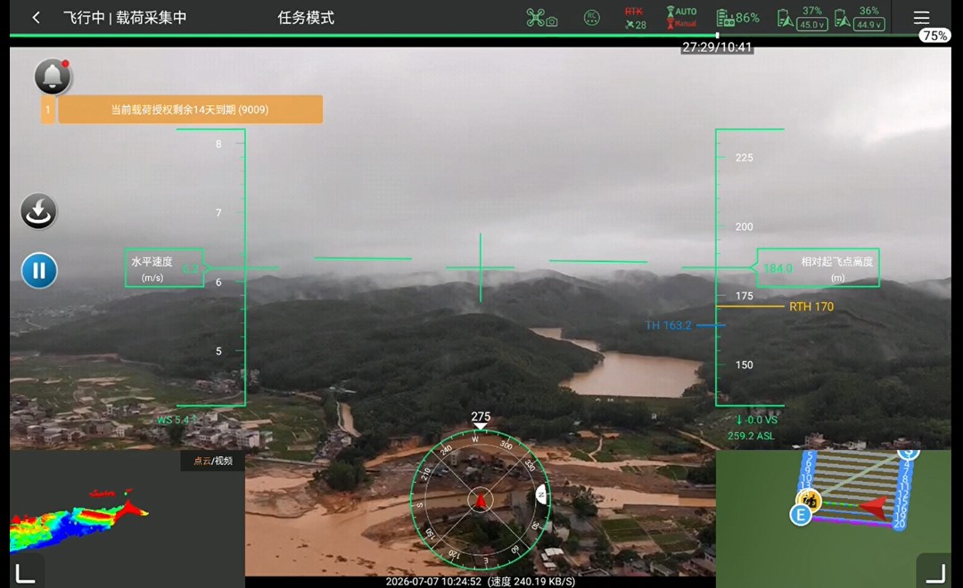
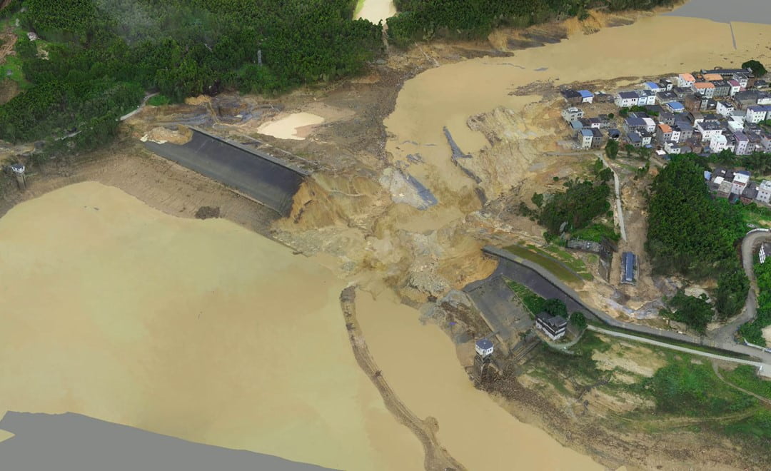
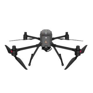
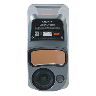
On the morning of 7 July the weather had not cleared and the roads around the reservoir were still badly blocked. A ground survey of the area was not an option. The team flew the X500 drone with the AlphaAir 10 LiDAR and RGB system to capture 3D data of the reservoir and its surroundings.
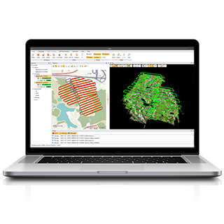
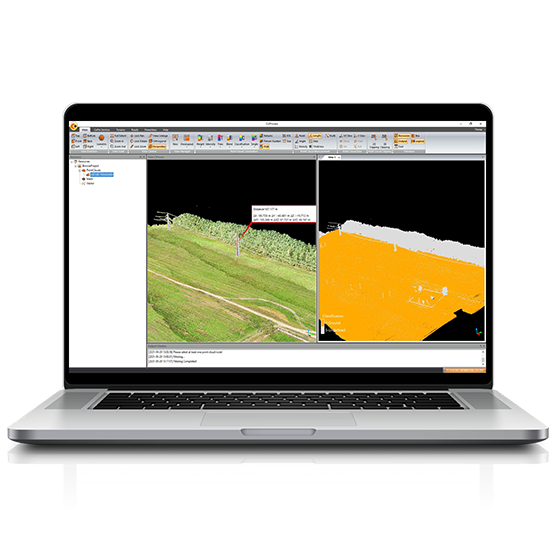
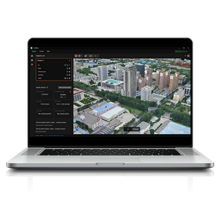
The X500 is rated IP55 with 12 m/s wind resistance, built for this kind of weather. With the AlphaAir 10 on board it flies for up to 50 minutes, so a large area is covered from a single takeoff point, an advantage when most of the roads are closed. The LiDAR and image data were processed into a 3D model and a digital orthophoto map (DOM) of the area, which the responding agencies used to assess the damage to houses, roads and infrastructure.
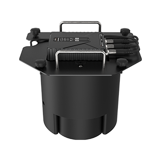
The rain continued, and so did the risk to the embankments. On the night of 8 July a second team moved to the Yu River at Guigang and, with the research institute, flew the X500 along both banks to inspect the levees from the air. For this patrol the drone carried a payload that combines LiDAR with thermal infrared and visible light cameras. Thermal imaging shows the temperature differences around water seeping through an embankment, so piping and seepage can be located in the dark, when a ground patrol along a flooded levee is slow and dangerous.
Flying at night meant the inspection did not have to wait for daylight. Weak points found during the patrol could be passed to the reinforcement crews straight away.
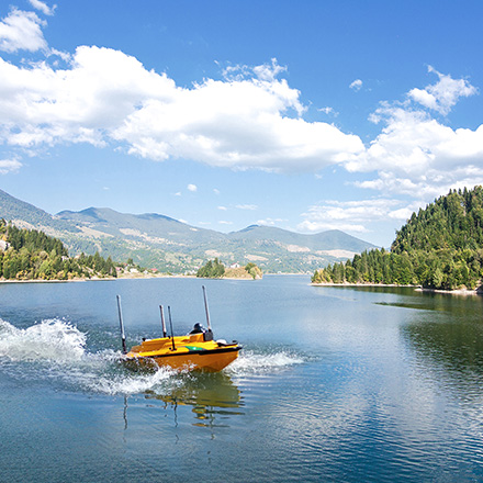
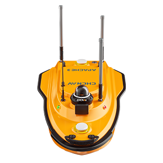
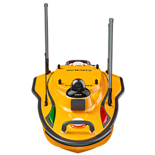
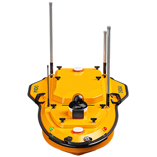
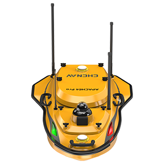
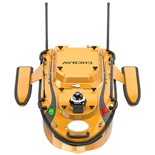
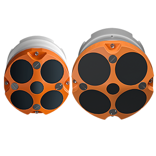
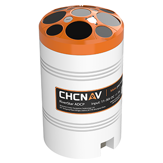
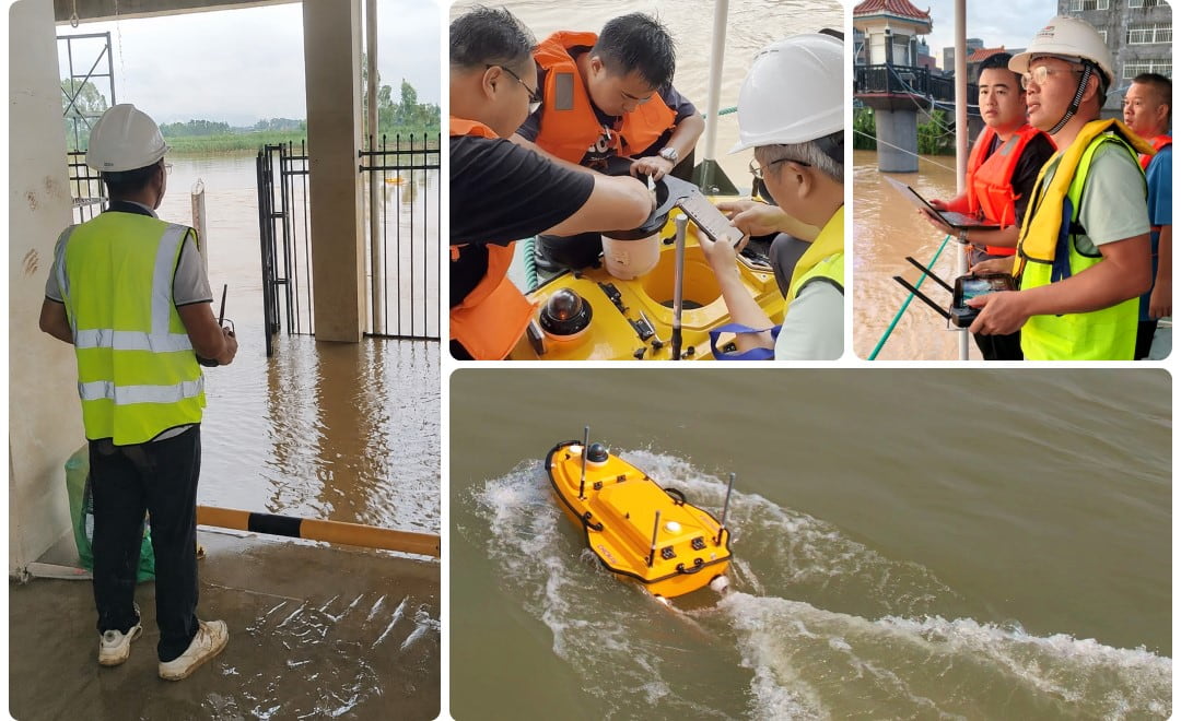
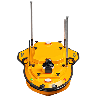
Guigang itself was under water, with flooding in the city streets. On 7 July the team launched the Apache 4 unmanned surface vessel with an ADCP (acoustic Doppler current profiler) to monitor the flood flow through the city in real time. The measurements showed how fast the floodwater was moving and how deep it was, key information for the emergency command.
As water levels at hydrological stations across the region reached new highs, the team took the Apache 4, the X500, ADCPs and other flow measurement equipment to station after station, helping the stations increase the frequency of their flood peak measurements. Measuring three times a day in all weather, the equipment kept delivering stable, real-time velocity and discharge data as the peak passed. Those figures supported hydrological forecasting and the scheduling of flood releases.
An unmanned vessel changes who has to be on the water. A crewed boat in a fast, debris-filled flood puts people at risk; the Apache 4 is steered from the bank. We describe how the same method works in normal conditions in our river discharge survey on the Chao Phraya, and our hydrographic survey equipment guide explains when an ADCP is the right instrument.
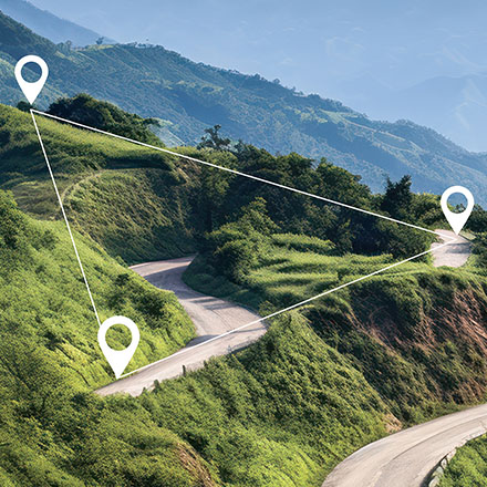
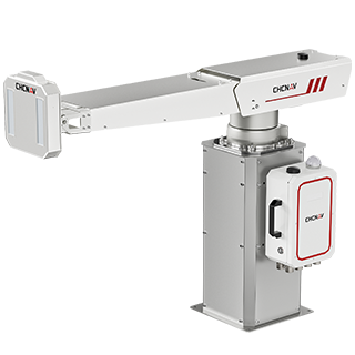
Once the water starts to fall, the questions change. Rivers and drainage channels fill with silt, and clearing them needs a volume, not an estimate. While the response work continued, CHC Navigation dispatched a fixed-wing UAV with an airborne LiDAR system and the C5 aerial camera to the area. Working together, they produce high-precision point clouds and orthophotos from which the volume of deposited silt can be calculated, giving the dredging and river restoration work a measured starting point.
No single instrument answers every question in a flood. In Guangxi, each platform covered a different need:
| Platform | Task | Deliverable | Used for |
|---|---|---|---|
| X500 with AlphaAir 10 | Reservoir area survey in rain | 3D model, DOM | Damage assessment of houses, roads and infrastructure |
| X500 with LiDAR, thermal and visible cameras | Night levee patrol | Locations of piping and seepage | Levee reinforcement |
| Apache 4 with ADCP | Urban flooding and flood peak measurement | Flow velocity, depth, discharge | Rescue planning, forecasting, flood release |
| Fixed-wing UAV with LiDAR and the C5 camera | Post-flood survey | Point cloud, orthophoto, silt volumes | Dredging and river restoration |
Three things made the response work. The equipment was mobile enough to reach the area within hours and be in the air or on the water the same day. It kept working in conditions that stop conventional survey methods: rain, wind, darkness and fast water. And the outputs were the ones decision makers could use at once, from 3D models to discharge figures.
Emergency work of this kind is part of a wider pattern: in Sichuan, CHC Navigation equipment has also supported emergency monitoring at the Junlian landslide. For the full range of airborne and ground-based systems, see our 3D mobile mapping solutions, and for unmanned vessels and ADCPs, our marine surveying solutions.
CHC Navigation (CHCNAV) develops advanced mapping, navigation, and positioning solutions designed to increase productivity and efficiency. Serving industries such as geospatial, agriculture, machine control and autonomy, CHCNAV delivers innovative technologies that empower professionals and drive industry advancement. With a global presence spanning over 140 countries and a team of more than 2,200 professionals, CHC Navigation is recognized as a leader in the geospatial industry and beyond. For more information about CHC Navigation [300627.SZ], please visit: https://geospatial.chcnav.com/about/overview
CHCNAV X500
Professional Multirotor Drone
CHCNAV AlphaAir 10
Professional Airborne LiDAR+RGB System
CHCNAV APACHE 4
Hydrographic and Bathymetric Surveys USV