Common Searches
Your Recent Searches
Quick Links
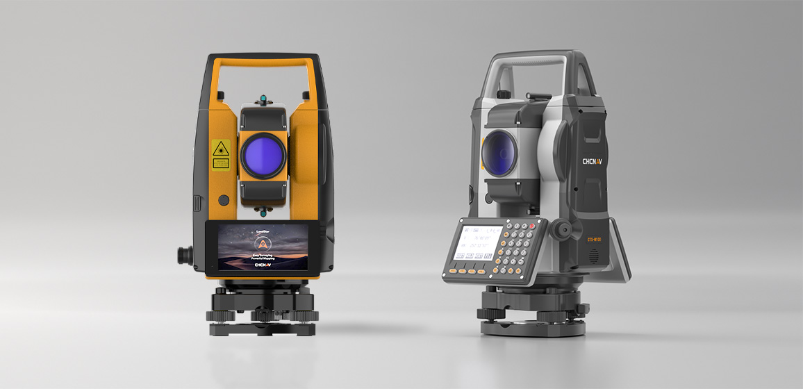
- i100
- i85
- x500
- RS10
- Apache 4
Search Term
Information Sources
- All Type
-
Products -
News -
Event
PRODUCTS
NEWS
EVENT
Select a Region or Language
Region
Global
.png)
.png)
.png)
.png)
.png)
.png)
.png)
.png)
.png)