Cloud-based 3D Processing & Application Platform
Upload field data and generate 3D deliverables through cloud-based processing.
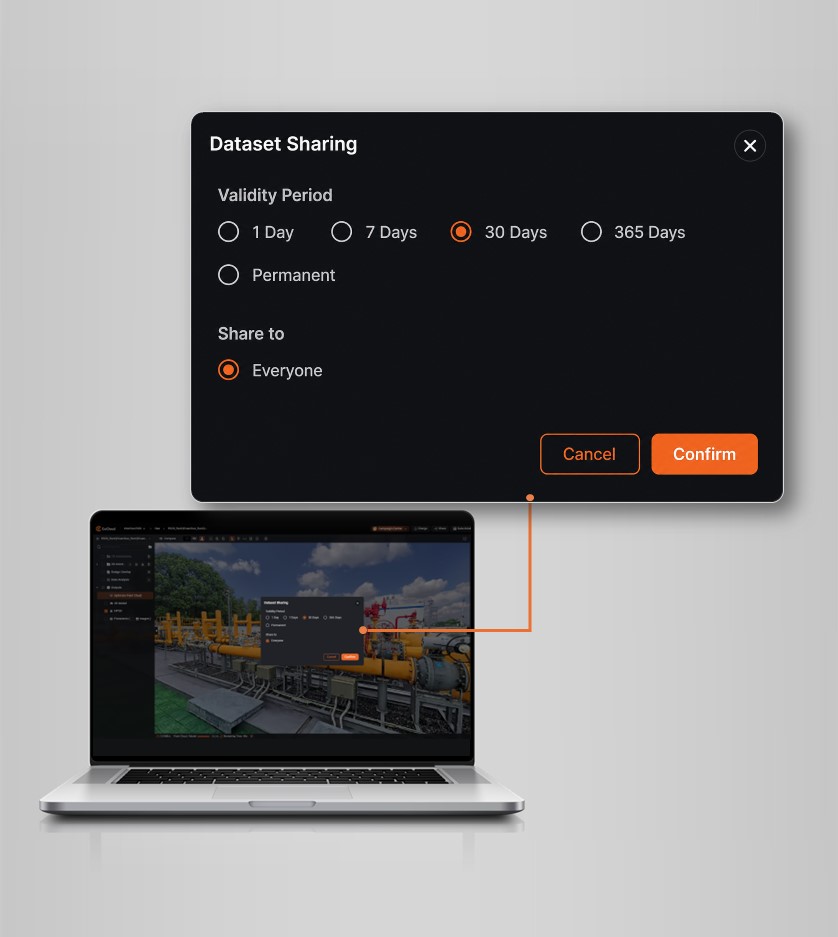
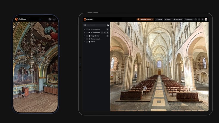
Access, inspect, annotate, and share 3D data anytime across multiple devices.
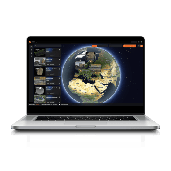
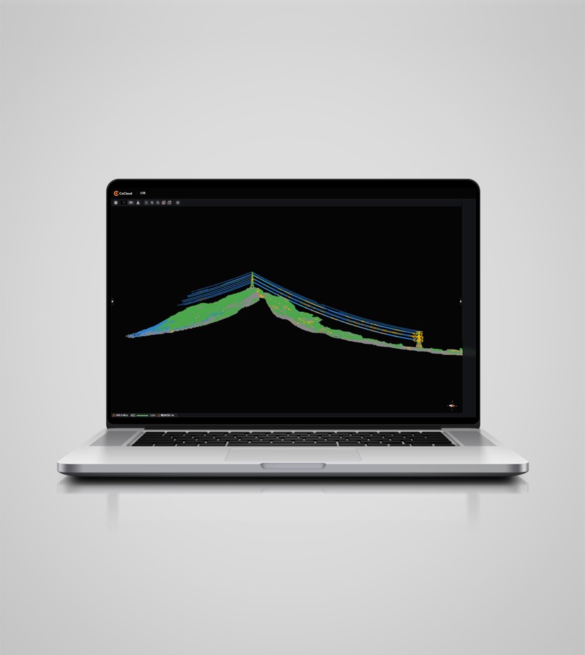
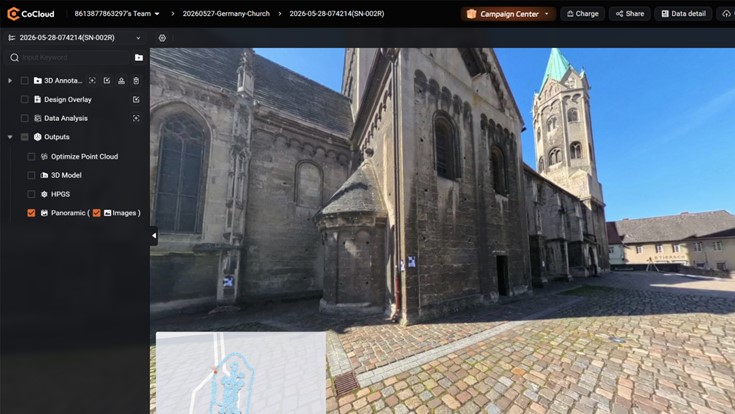
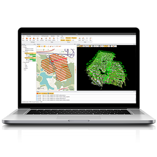
Visualize high-resolution point clouds, mesh models, panoramas, and 3DGS online.
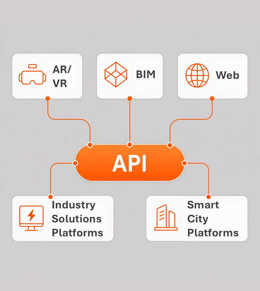
Flexible APIs and private deployment support integration with existing business systems.
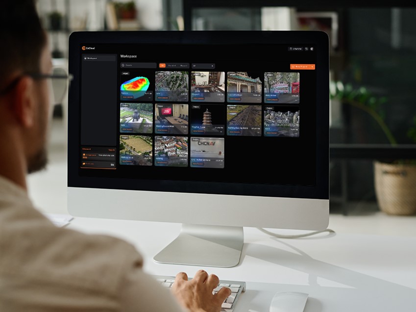
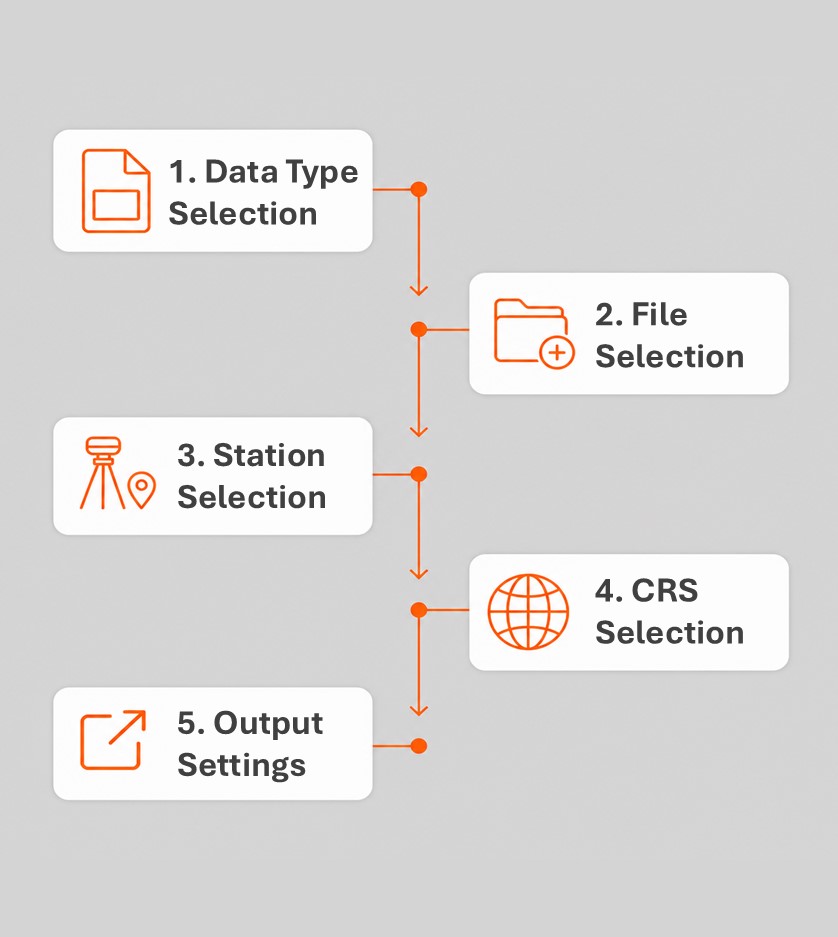
Upload data directly from the field and process it automatically in the cloud. Generate professional 3D deliverables without high-performance local workstations, complex software setup, or extensive manual processing.
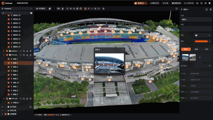
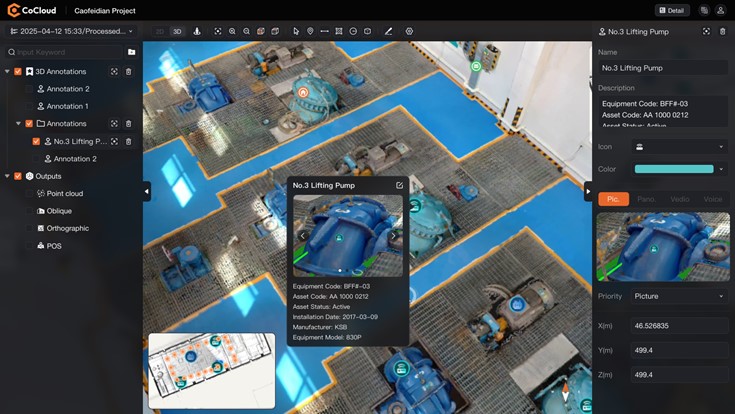
Transform 3D deliverables into interactive digital environments for visualization, measurement, annotation, asset management, and collaboration. Multi-device access helps teams and stakeholders work with the same spatial data from anywhere.
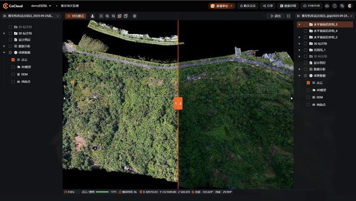
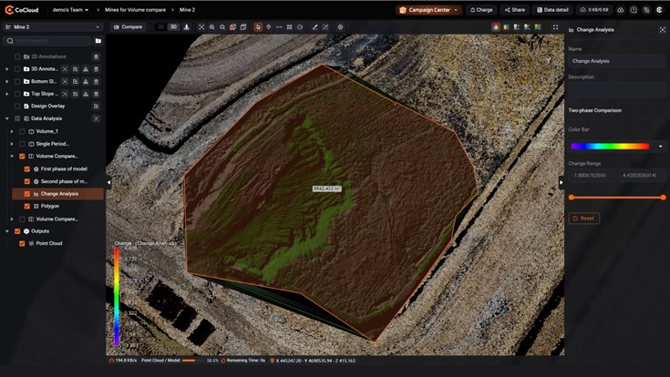
Built-in algorithms support applications such as volume calculation, point cloud classification, and multi-temporal comparison, simplifying advanced spatial analysis and making professional 3D workflows easier to use.
Comprehensive APIs enable CoCloud to connect with existing enterprise and industry platforms. Flexible cloud and private deployment options support different requirements for integration, data management, and security.
Simplify 3D Data Processing with CoCloud
Cloud-native 3D platform for fast, accurate LiDAR and imagery processing – no hardware needed. Upload, process, and collaborate online with ease.
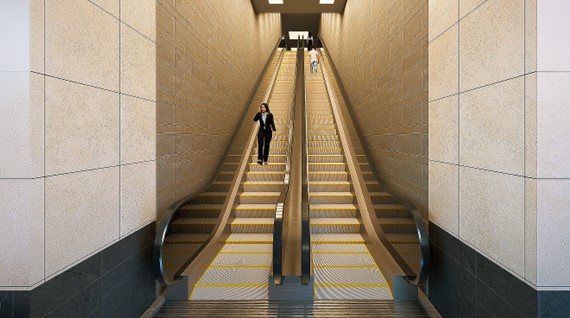
Facility & Asset Management
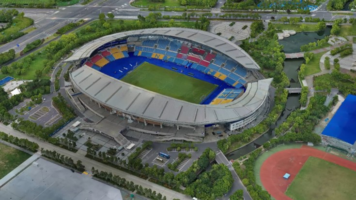
Stadium Safety Planning
Cultural Heritage Digitalization
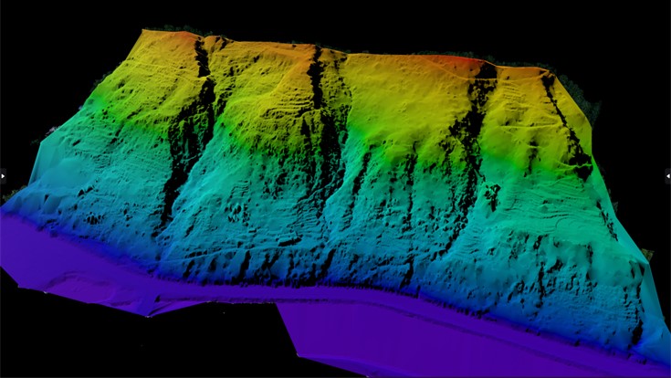
Mining & Construction Sites
Cloud-based 3D Processing & Application Platform
SEEKING FOR PERFECT SOLUTION TO FIT YOUR NEEDS?
Contact CHC Navigation to create a customized solution tailored to meet the specific needs of your business.
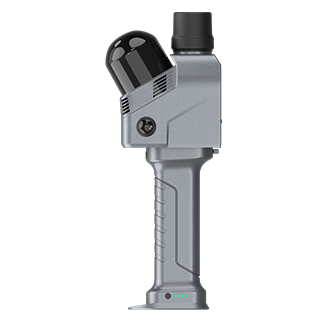
CHCNAV RS7
Handheld Real‑Time 3D LiDAR Scanner
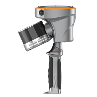
CHCNAV RS10
Handheld SLAM 3D Laser Scanner + GNSS RTK
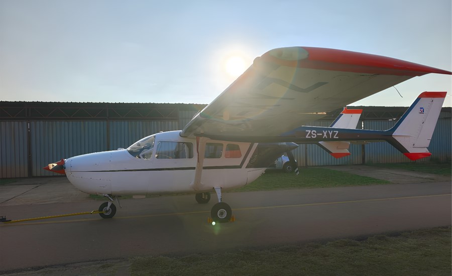
CHCNAV AlphaAir 6
Flagship LiDAR Measurement System + Imaging System
CHCNAV CoPre
LiDAR Processing Software
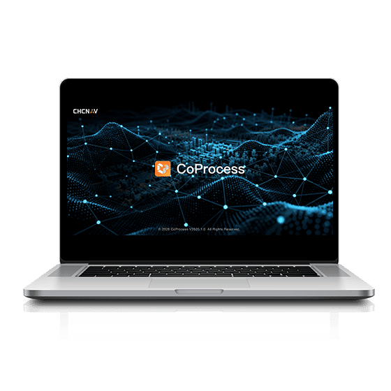
CHCNAV CoProcess
Point Cloud Processing Software for Scan-to-CAD and Terrain Modeling
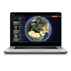
Visit cocloud.chcnav.com to create an account and access the CoCloud cloud-based 3D processing and visualization platform.
CoCloud uses a distributed cloud architecture to process large spatial datasets efficiently, providing scalable computing resources for point clouds, LiDAR data, 3D models, and other project data.
CoCloud supports role-based access control and user permissions. Cloud deployments use VPC and data isolation mechanisms, while private deployment provides additional control over data storage and access.
CoCloud supports Chinese, English, Russian, French, Japanese, and Korean.
The price of the CHCNAV CoCloud software depends on your selected configuration. For detailed pricing and options, please contact CHC Navigation through the inquiry page.







































.png)