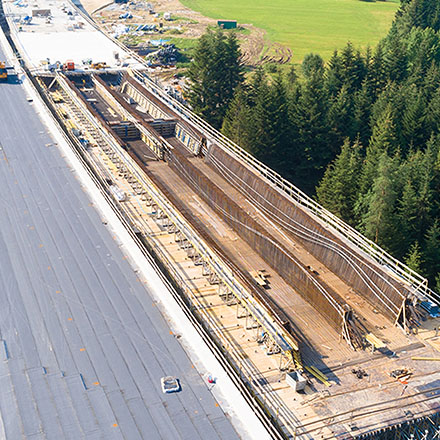
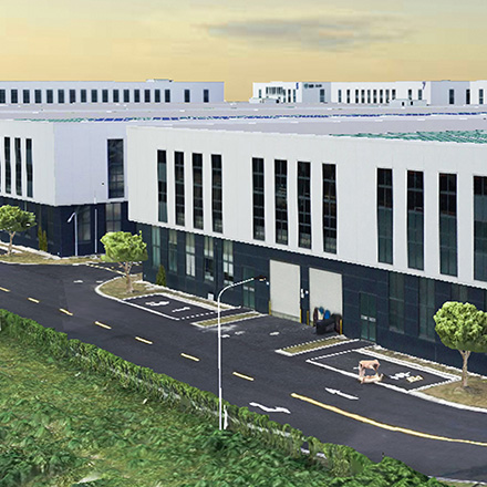
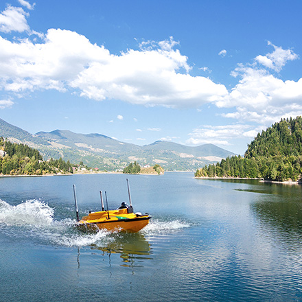
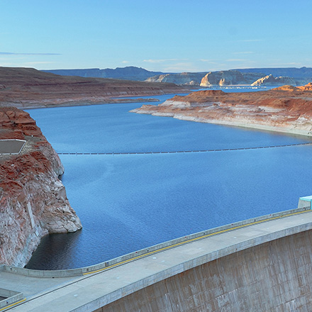
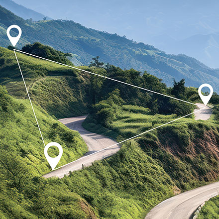
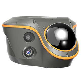
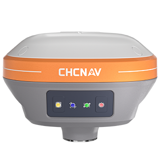
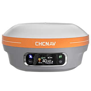
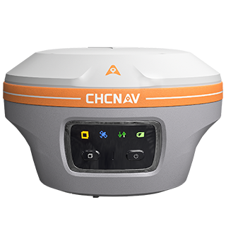
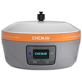
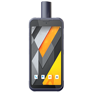
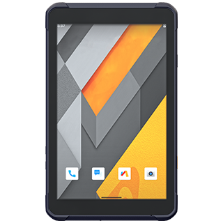
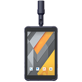
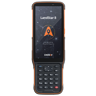
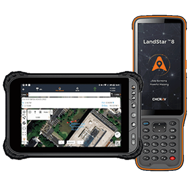
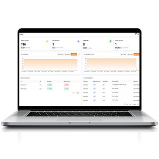
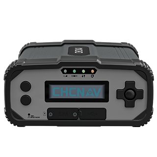
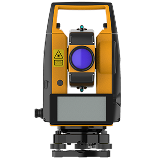
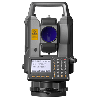
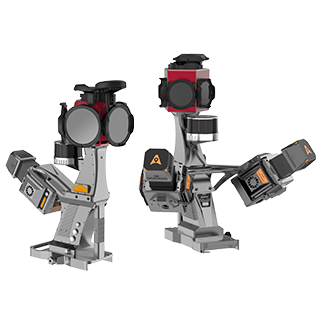
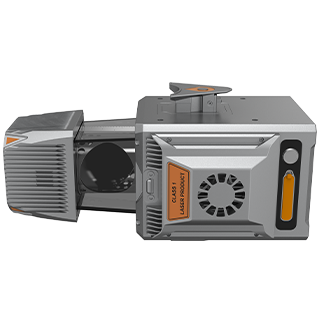
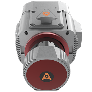
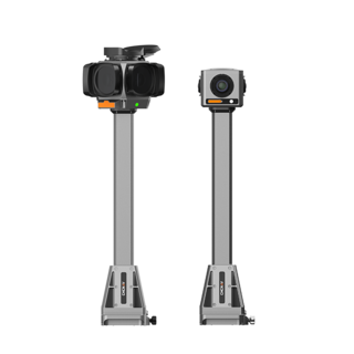
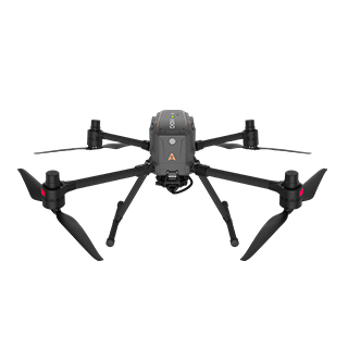
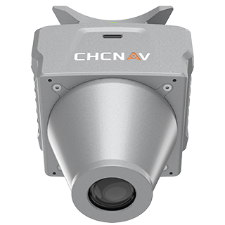
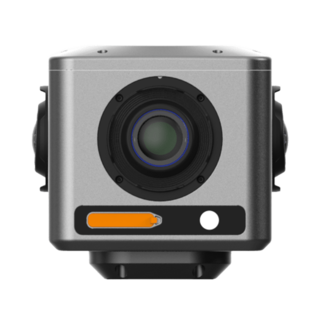
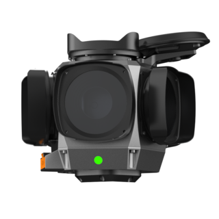
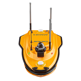
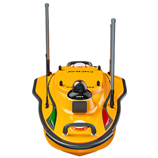
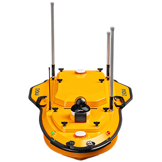
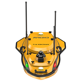
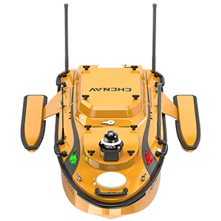
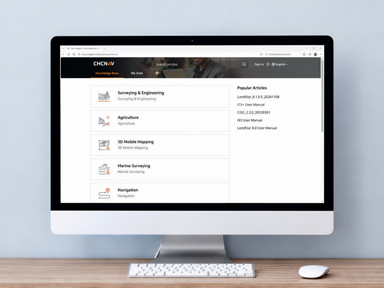
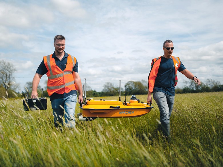
Find user guides, product documentation and technical resources for CHCNAV Geospatial solutions, including surveying, 3D reality capture, mobile and airborne mapping, hydrography and monitoring.
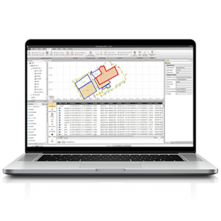
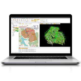
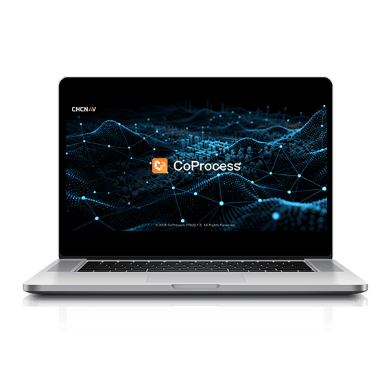
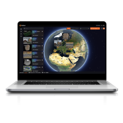
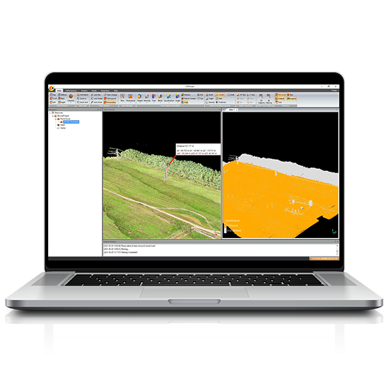
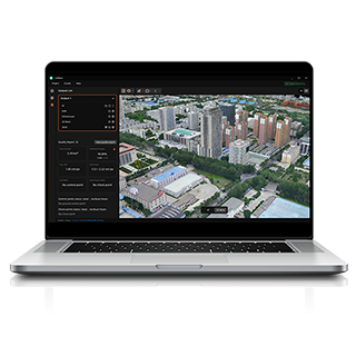
Download CHCNAV software, including CoPre, CoProcess, CoMeta, CoViewer, and more, to support field-to-office workflows.