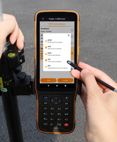
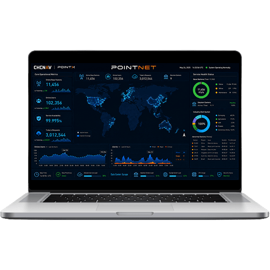
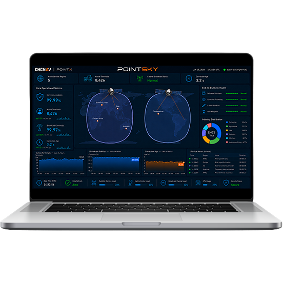
PointX is CHC Navigation’s GNSS correction services portfolio, designed to deliver reliable real-time positioning accuracy for surveying, mapping, machine control, precision agriculture, and autonomous systems. By combining PointNet network RTK corrections and PointSky L-Band satellite-based corrections, PointX helps users achieve more reliable and efficient field operations with enhanced productivity. Delivered as a managed RTK correction service, it provides consistent GNSS corrections without the need to run a local base station.










































.png)