Satellite-Based GNSS Correction Service
Satellite or internet delivery with wide coverage
< 3 cm Horizontal and < 7 cm Vertical (CEP95).
Converges to full accuracy in 1 to 10 minutes.
Maintains accuracy during correction signal interruptions for up to 300 seconds.
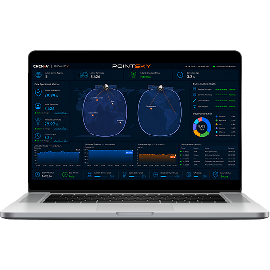
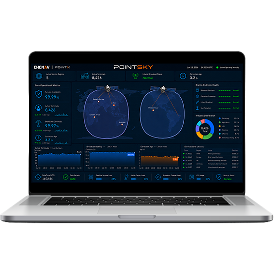
PointSky delivers centimeter-level GNSS positioning through L-Band satellite correction broadcast. In selected service regions, users can achieve RTK-level accuracy in as fast as 1 minute under optimal conditions, enabling faster field startup without deploying local correction infrastructure.
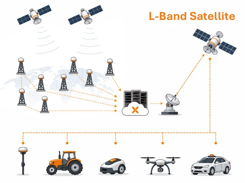
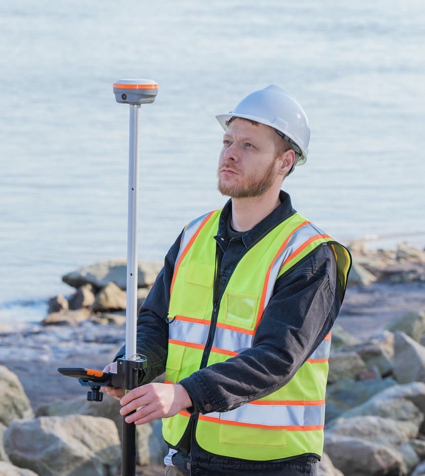
PointSky corrections are transmitted via geostationary satellites, enabling high-accuracy GNSS positioning where cellular coverage, internet access, or local RTK infrastructure may be limited. It is suited to remote surveying, offshore operations, deserts, mountainous areas, large farms, and other field environments where network access cannot be assumed.
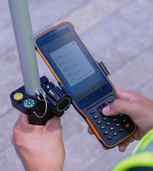
PointSky reduces dependence on local base stations by using PPP-based satellite correction technology. Compatible CHCNAV GNSS receivers can receive corrections directly via L-Band satellite broadcast, simplifying field setup and reducing the need for additional reference station equipment.
With service availability above 99.9%, PointSky is designed for reliable correction delivery and real-time integrity monitoring in supported service regions. Its satellite-based architecture helps maintain positioning continuity for professional GNSS applications where communication interruptions can affect productivity.
By eliminating local base station setup and reducing dependence on cellular correction delivery, PointSky helps field teams mobilize faster and work with fewer infrastructure constraints. Stable correction availability supports more efficient surveying, mapping, agriculture, UAV, robotics, and autonomous operation workflows.
Surveying and Mapping
Precision Agriculture
Robotics
UAV Operations
Autonomous Driving
Satellite-Based GNSS Correction Service
SEEKING FOR PERFECT SOLUTION TO FIT YOUR NEEDS?
Contact CHC Navigation to create a customized solution tailored to meet the specific needs of your business.
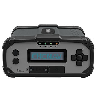
CHCNAV P5
GNSS Geodetic Reference Station
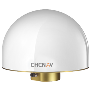
CHCNAV C220GR2
GNSS Choke-Ring Antenna
CHCNAV PointNet
GNSS NRTK Correction Service
PointSky is CHC Navigation’s L-Band satellite-based GNSS correction service. It uses PPP-based correction technology to deliver centimeter-level positioning to compatible CHCNAV GNSS receivers without requiring a local base station or NTRIP connection.
PointSky typically converges to full accuracy within 1 to 5 minutes, depending on the service region, receiver model, firmware, and field conditions. In selected enhanced service regions, convergence can be achieved as fast as under 1 minute under optimal conditions.
PointSky delivers GNSS corrections via L-Band satellite broadcast and is designed for high-accuracy positioning in remote or network-limited areas without a local base station or cellular connection. PointNet is an NTRIP Correction Service delivered through cellular or internet networks, providing near-instant RTK convergence in areas with network RTK coverage.
PointSky satellite correction coverage is available in supported service regions, including parts of Asia, Eastern Europe, Eastern Africa, Australia, and the Americas. Coverage, accuracy, convergence time, and service performance may vary by region, receiver model, and subscription plan.
PointSky requires compatible CHC Navigation GNSS receivers powered by the StellaX chip series. Availability may vary by receiver model, firmware version, service activation, and regional coverage.
PointSky uses CHC Navigation’s proprietary GNSS correction protocol. Corrections are delivered to compatible receivers through L-Band satellite broadcast.
PointSky subscription pricing depends on the selected service plan, coverage area, subscription duration, and receiver configuration. For detailed pricing and available options, please contact CHC Navigation through the inquiry page or your local authorized dealer.
More







































.png)
































.png)
.png)