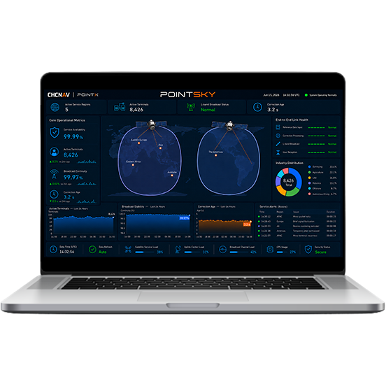
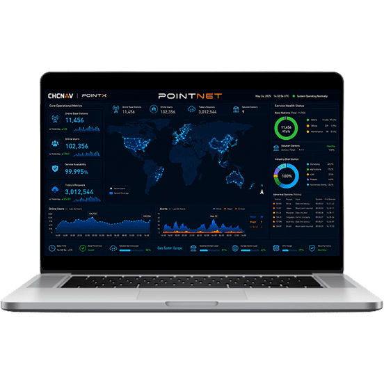
GNSS NRTK Correction Service
Available across Europe, Brazil, Australia, New Zealand, China, and other supported regions.
Centimeter-level accuracy: < 2 cm Horizontal and < 3 cm Vertical (1σ).
Redundant infrastructure for continuous field operations.
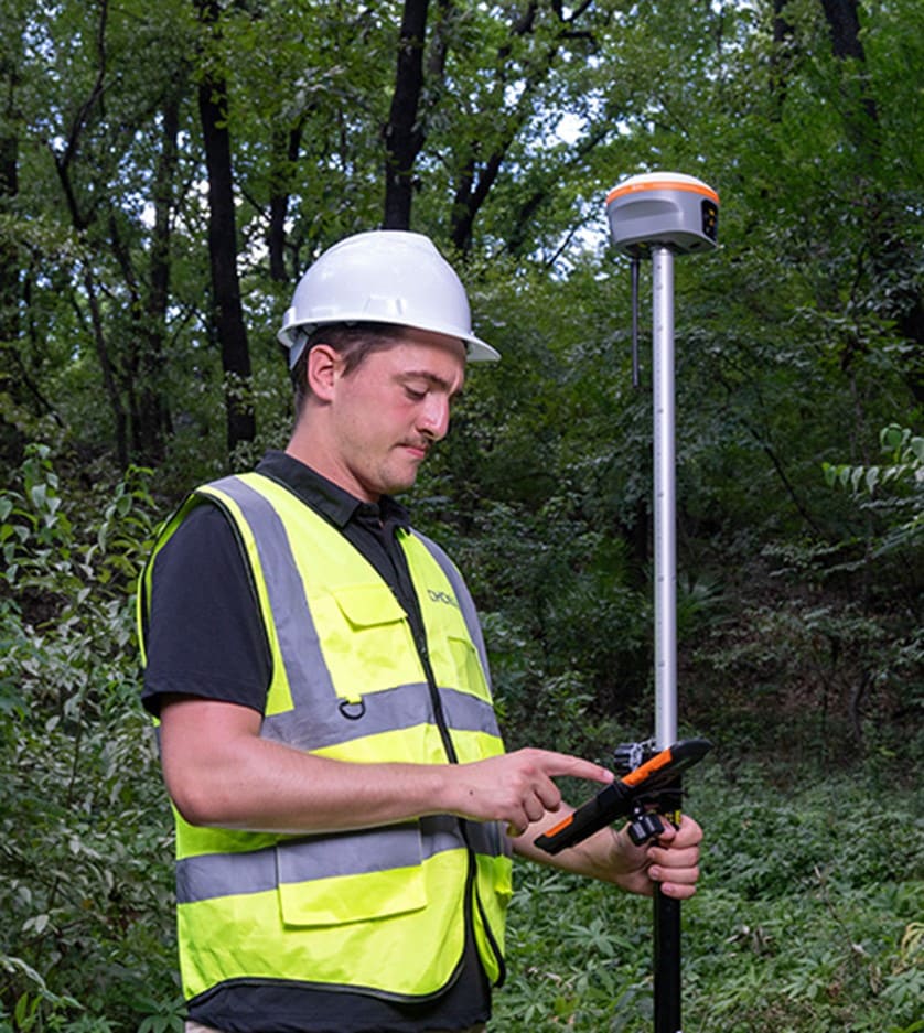
No local base station or complex setup required. Connect through NTRIP and start working.
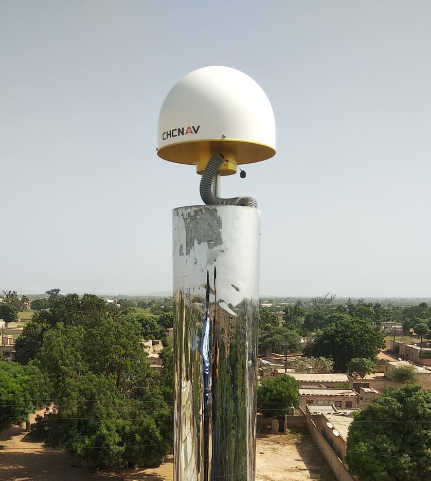
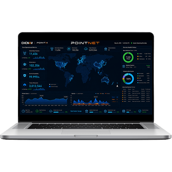
PointNet is supported by a network of more than 10,000 GNSS reference stations across supported service regions. More than 99.5% of stations support full-constellation and full-frequency data, using high-precision reference receivers and antennas to provide stable correction input for professional positioning services.
PointNet is trusted by more than 1 million professionals worldwide. Its microservice-based architecture supports signal reception, data processing, correction generation, and service dissemination, while 24/7 system monitoring and redundant cloud backups help maintain service continuity and operational resilience.
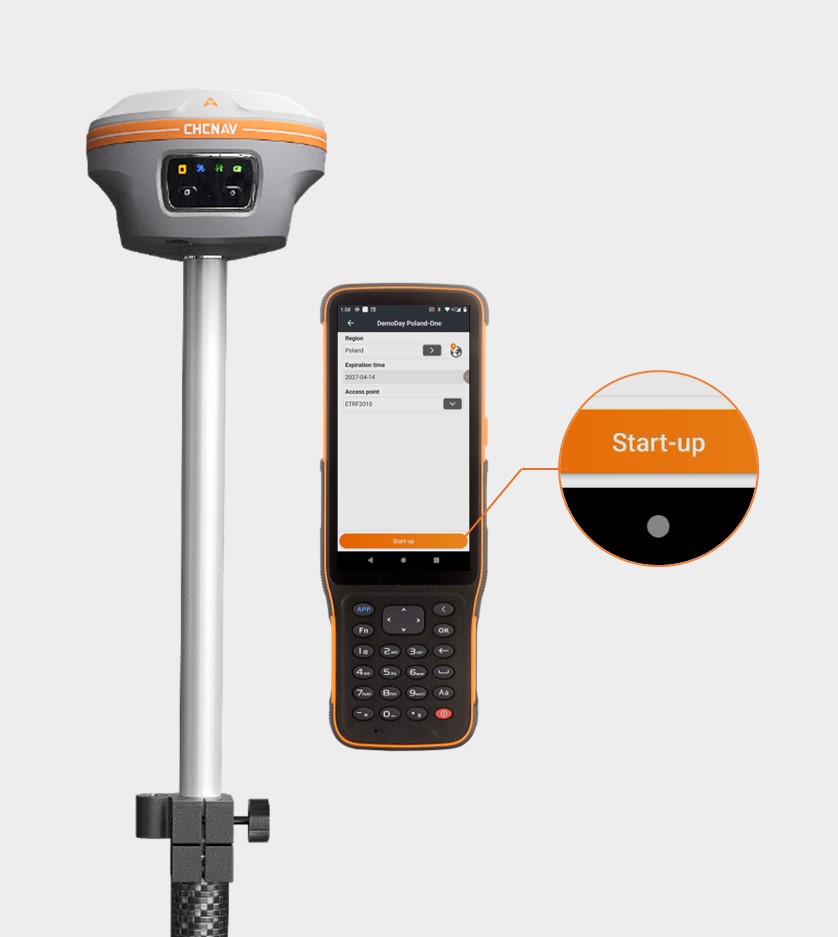
PointNet integrates with compatible CHCNAV devices and supports simplified service activation. Users can check account validity, service status, and coverage directly from supported terminals, reducing dependence on third-party websites or additional configuration tools.
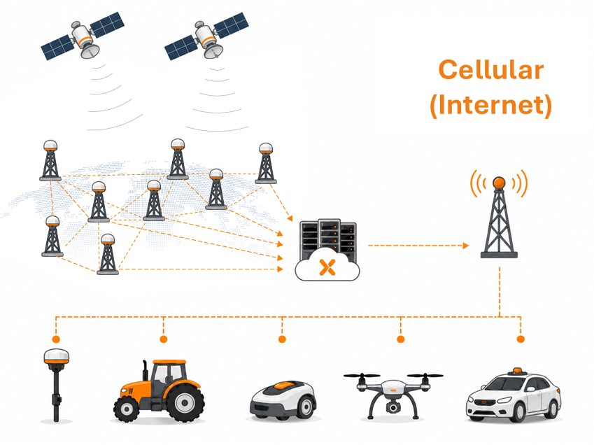
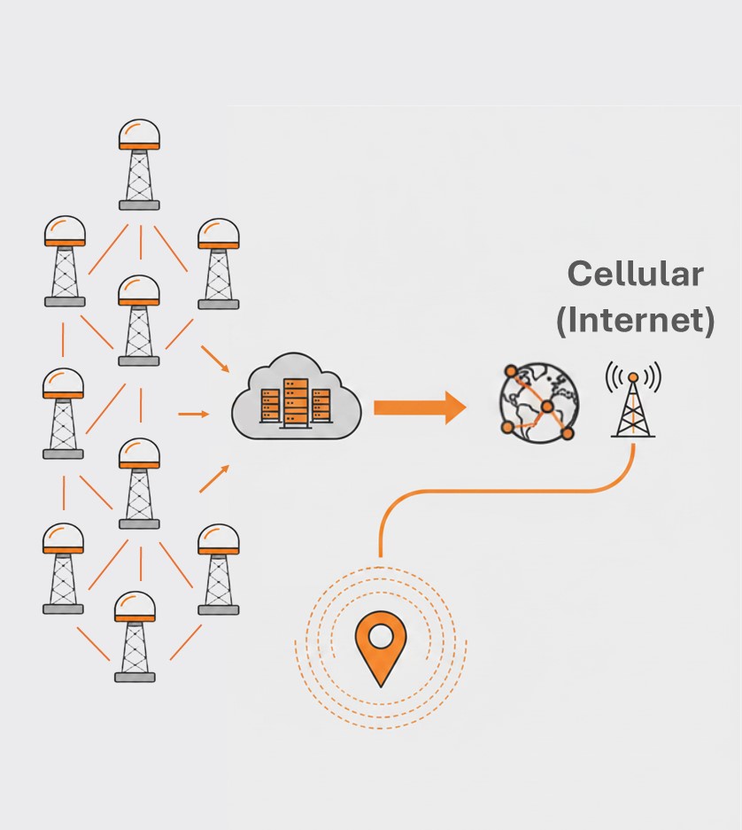
PointNet removes the need to deploy and maintain a local GNSS base station in supported coverage areas. By delivering centimeter-level RTK corrections via cellular (internet), it reduces equipment setup, simplifies field logistics, and improves operational efficiency.
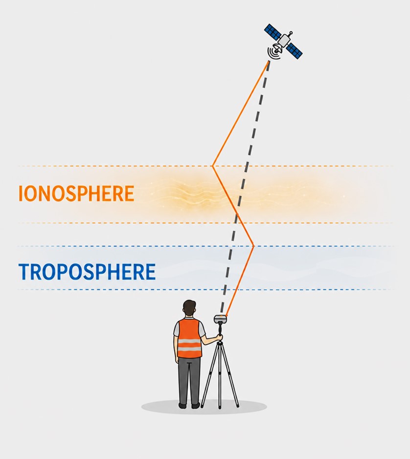
CHCNAV C2 Fusion technology, available on compatible CHCNAV devices, combines cloud-side correction processing with terminal-side optimization, improving positioning stability by up to 40% during active ionospheric periods.
PointNet supports RTCM 3.x data formats and NTRIP 1.0 protocols, enabling compatibility with CHCNAV receivers and many third-party professional GNSS receivers. With available APIs and SDKs, it can also be integrated into OEM modules, third-party terminals, and positioning platforms.
With flexible subscription and billing options, PointNet allows selection of the service plan that best matches operational needs. Its optimized correction data transmission helps reduce bandwidth consumption and communication costs while maintaining reliable high-accuracy positioning performance.
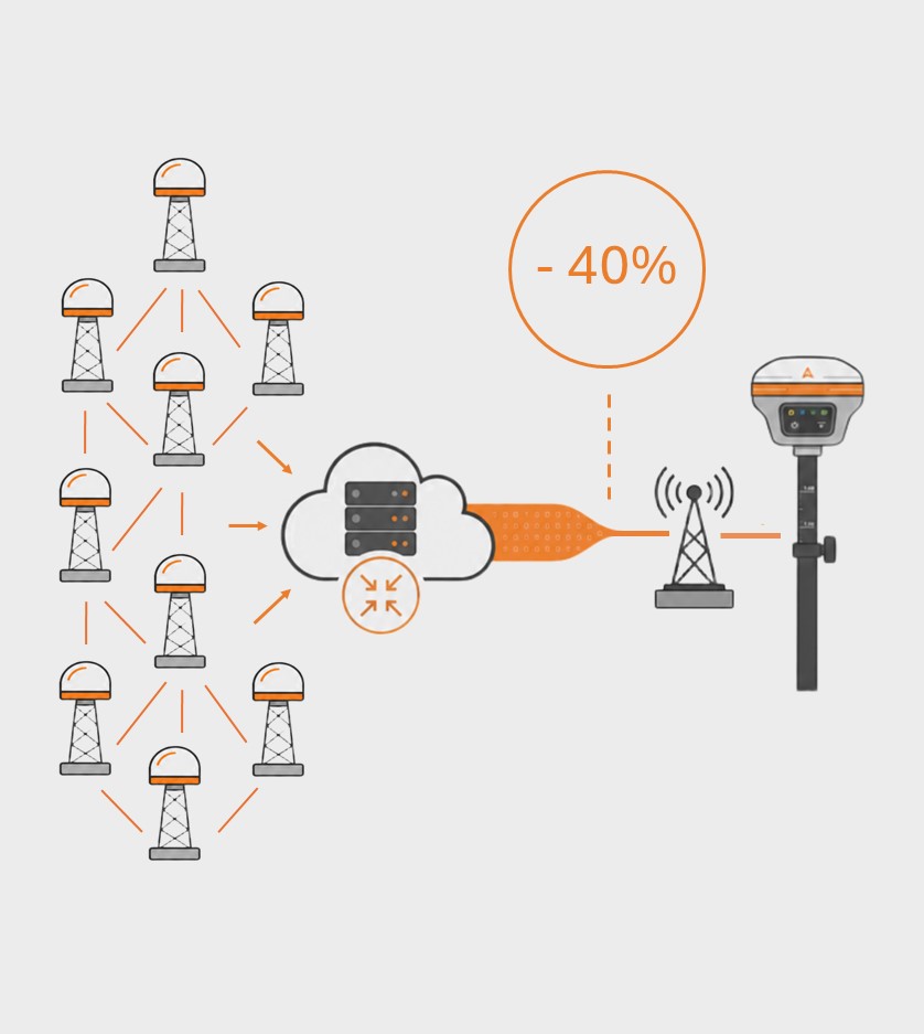
PointNet's Differential Data Compact Transmission Protocol, DCT, reduces bandwidth usage by more than 40%, lowering data consumption costs without compromising correction performance, data integrity, or transmission security.
Survey and Mapping
Precision Agriculture
Robotics
UAV Operation
Autonomous Driving
GNSS NRTK Correction Service
SEEKING FOR PERFECT SOLUTION TO FIT YOUR NEEDS?
Contact CHC Navigation to create a customized solution tailored to meet the specific needs of your business.
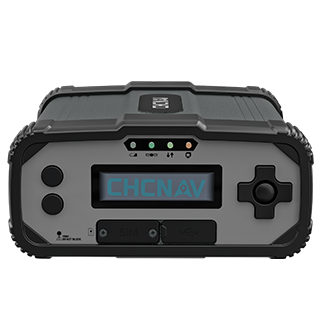
CHCNAV P5
GNSS Geodetic Reference Station
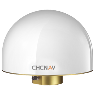
CHCNAV C220GR2
GNSS Choke-Ring Antenna
CHCNAV PointSky
Satellite-Based GNSS Correction Service
PointNet is CHC Navigation’s NRTK-based GNSS correction service. It delivers real-time RTK corrections through internet and cellular networks using the NTRIP protocol, enabling centimeter-level positioning for professional GNSS applications.
PointNet is supported by more than 10,000 GNSS reference stations and multiple data centers across supported countries and regions. Coverage is available across Europe, Brazil, Australia, New Zealand, China, and other supported regions. Please refer to the official coverage map for detailed coverage information. Availability and performance may vary by country, receiver configuration, and local network conditions.
PointNet provides near-instant RTK convergence using NRTK technology. In supported coverage areas, compatible GNSS receivers can typically initialize within seconds, enabling fast access to centimeter-level positioning for connected field operations.
PointNet delivers correction data through internet or cellular network connections, including 4G, 5G, and Wi-Fi. Corrections are transmitted using the NTRIP protocol, making PointNet suitable for connected surveying, mapping, construction, agriculture, robotics, UAV, and autonomous applications.
PointNet works with compatible CHC Navigation GNSS receivers, modules, and terminals, including StellaX-based devices. It also supports third-party GNSS receivers compatible with RTCM 3.x correction data. CHC Navigation hardware is recommended for the most integrated activation, account management, and positioning experience.
PointNet delivers GNSS RTK corrections through internet or cellular networks using NTRIP. It is designed for connected areas where network coverage is available and provides near-instant convergence. PointSky delivers L-Band satellite-based GNSS corrections for remote or network-limited areas where cellular access or local base station deployment may not be available.
Users can subscribe to PointNet through a local authorized CHC Navigation dealer or via the PointX portal, depending on regional availability. Select the required service plan, bind your receiver, and activate the subscription. Monthly and annual plans may be available depending on the region and service option.
PointNet pricing depends on the selected service plan, coverage area, subscription duration, and receiver configuration. For detailed pricing and available options, please contact CHC Navigation through the inquiry page or your local authorized dealer.
More







































.png)
































.png)
.png)