
Products
News
Event
Region
Global360° horizontal and -30° to 60° vertical with sub-mm displacement monitoring
Adjust acquisition and upload frequency to changing site conditions
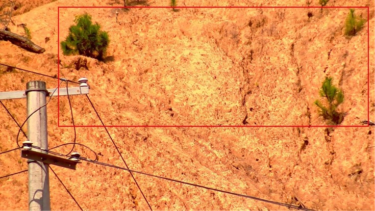
Capture images when anomalies are detected for rapid visual verification
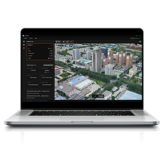
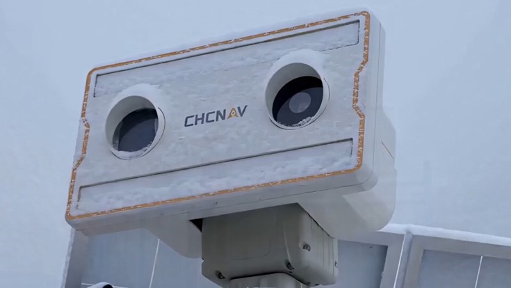
Active microwave radar and IP66 protection support operation in rain, snow and fog
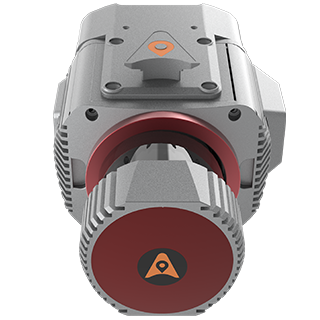
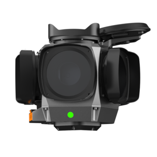
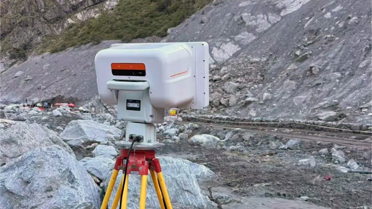
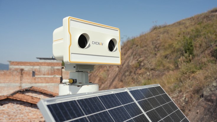
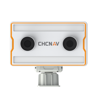
Features 360° horizontal and -30° to 60° vertical adjustment for comprehensive wide-area deformation monitoring. Synthetic aperture radar imaging and interferometric phase analysis enable sub-millimeter-level displacement monitoring across the observed area.
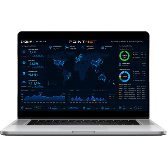
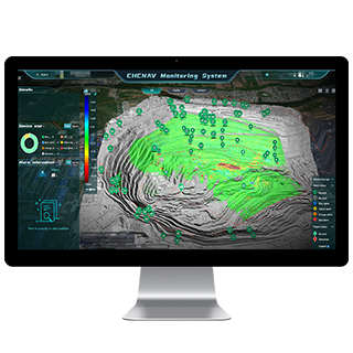
Adaptive algorithms automatically adjust acquisition and upload frequency according to site conditions, increasing measurement frequency when movement is detected. Built-in algorithms also identify and report anomalies outside predefined monitoring points, helping users detect emerging risks.
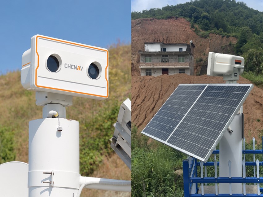
Active microwave radar technology and an IP66-rated enclosure support reliable monitoring in rain, snow, fog and other demanding conditions. A laser fill light supports visual image capture at night for continuous day and night monitoring.
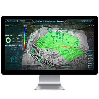
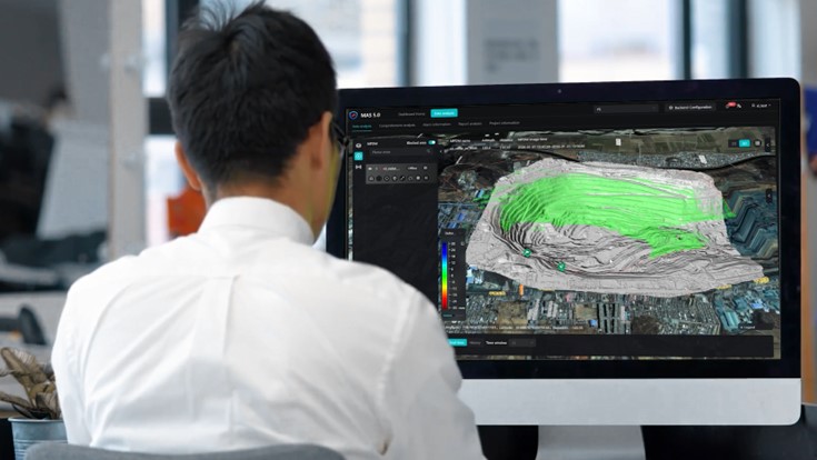
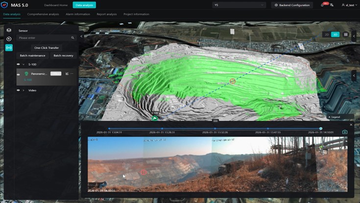
The Z8 automatically captures images when anomalies are detected, providing visual evidence for faster verification and reducing the need for immediate on-site inspection. The built-in camera creates a panoramic base map with bidirectional linkage between radar data and panoramic imagery.
AI analysis identifies potential interference sources such as vegetation and trees. An optional AI-powered rockfall detection module detects rapid events including rolling rocks and sudden slope collapses.
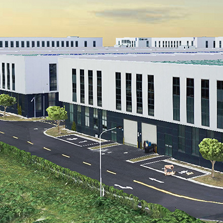
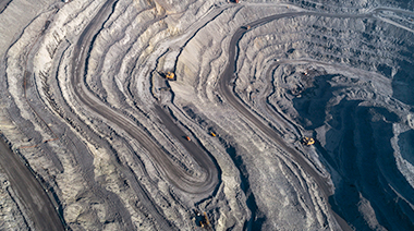
Tailings Dam Slopes
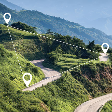
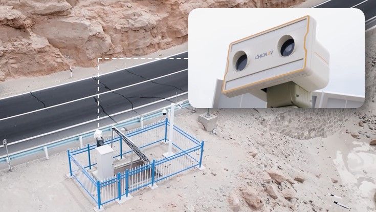
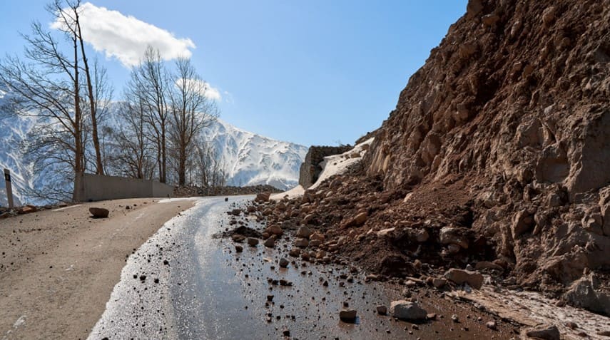
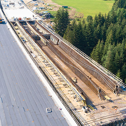
Highway Slopes
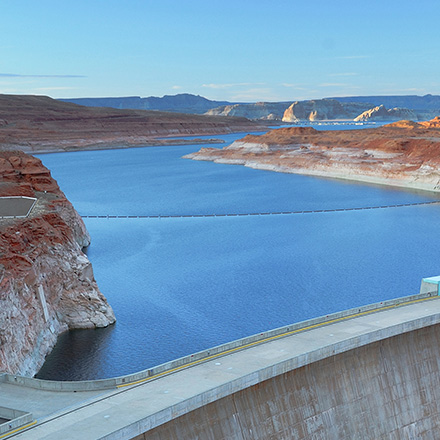
Reservoir Dams
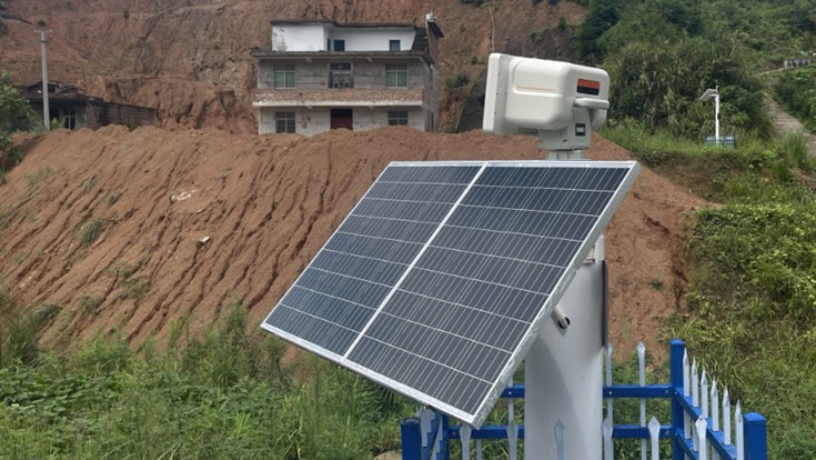
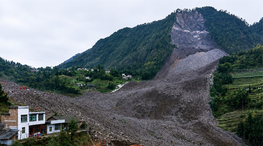
Geohazard Slopes
SEEKING FOR PERFECT SOLUTION TO FIT YOUR NEEDS?
Contact CHC Navigation to create a customized solution tailored to meet the specific needs of your business.
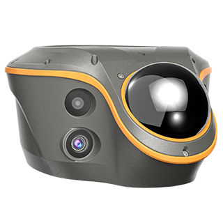
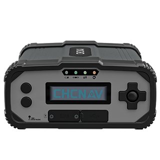
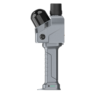
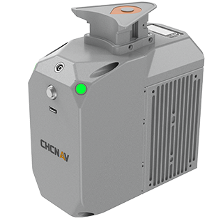
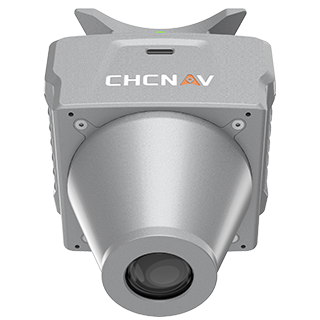
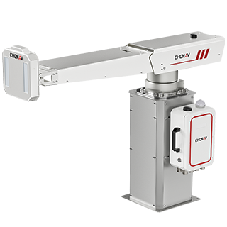
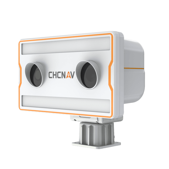
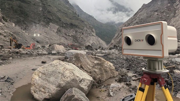
The CHCNAV Z8 is a vision-fused wide-area deformation monitoring system combining interferometric radar, visual imaging and edge computing for sub-millimeter-level displacement monitoring.
The Z8 provides 360° horizontal and -30° to 60° vertical adjustment. Synthetic aperture radar technology measures line-of-sight displacement across the monitored surface without contact.
Yes. AI analysis identifies potential interference sources such as vegetation and trees. An optional rockfall detection module supports detection of rapid events such as rolling rocks and sudden slope collapses.
The Z8 is designed for wide-area deformation monitoring of tailings dam slopes, highway slopes, reservoir dams, geohazard slopes and other areas requiring continuous displacement monitoring.
Yes. Active microwave radar supports monitoring day and night and in rain, snow and fog. A laser fill light supports visual image capture at night, while the IP66 enclosure protects the system outdoors.
Yes. The Z8 uses interferometric radar to remotely measure surface displacement across the monitored area, reducing the need to install measurement targets directly on the monitored slope.
The price of the CHCNAV Z8 depends on the selected configuration and project requirements. For detailed pricing and available options, contact CHC Navigation through the inquiry page.
More