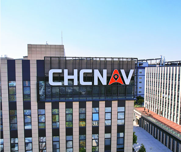
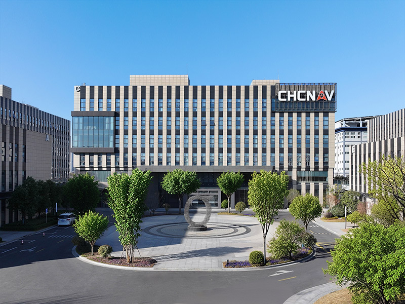
CHC Navigation Geospatial provides geospatial professionals with integrated technologies for land, marine and airborne surveying, GNSS positioning, 3D LiDAR reality capture, mobile mapping, hydrographic surveying and real-time positioning infrastructure. From field data capture to processing and delivery, our solutions help teams work more efficiently, improve data quality and manage complex surveying and mapping projects with confidence.
Founded in 2003, CHC Navigation has grown into a global technology company with more than 2,200 employees and a distribution and support network covering over 140 countries. We work closely with customers and partners to understand changing field requirements and deliver geospatial solutions that combine reliable technology, practical performance and local support.
At CHC Navigation, we connect positioning, sensing, mapping and software technologies across complete geospatial workflows. From field data capture and real-time GNSS corrections to processing, analysis and final deliverables, our integrated solutions help improve accuracy, productivity and data continuity across surveying and mapping operations.
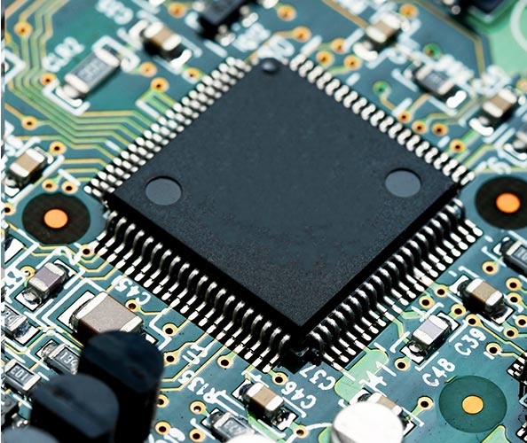
CHC Navigation develops the core technologies behind efficient geospatial workflows, including GNSS, LiDAR, inertial positioning, advanced algorithms, software and cloud processing. Continuous investment in R&D allows us to turn these technologies into practical, professional-grade solutions that improve accuracy, productivity and accessibility for surveying and mapping professionals worldwide.







































.png)