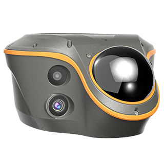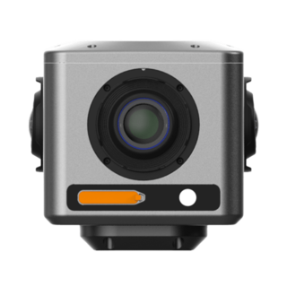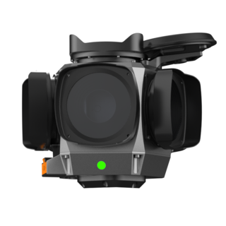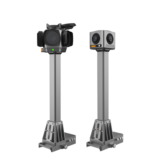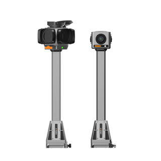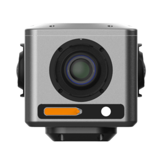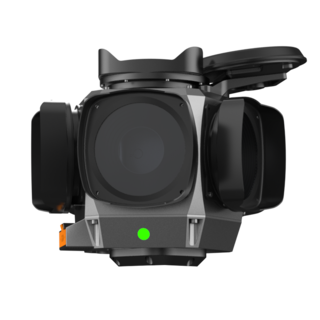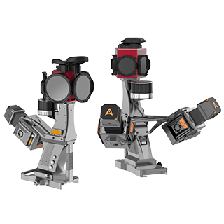

Mobile Panoramic Mapping System
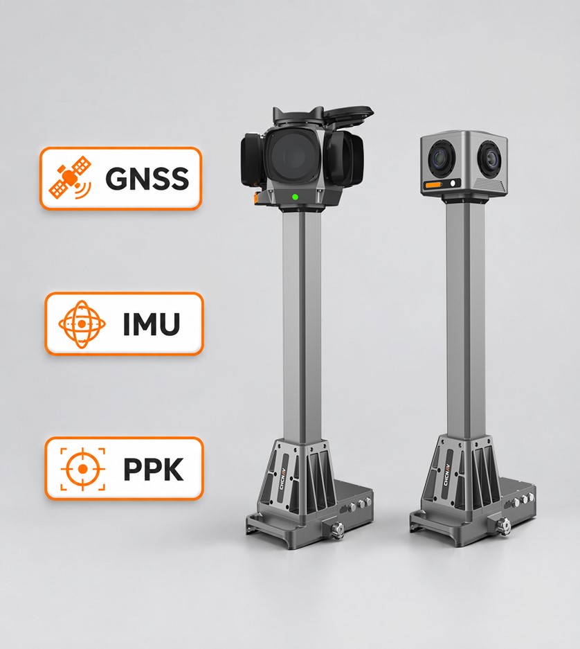
IMU bias instability ≤ 0.5°/h with PPK processing for centimeter-level positioning accuracy.
Time-based, GNSS distance-based, and DMI distance-based triggering for different mapping workflows.
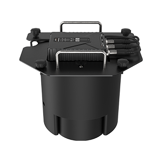
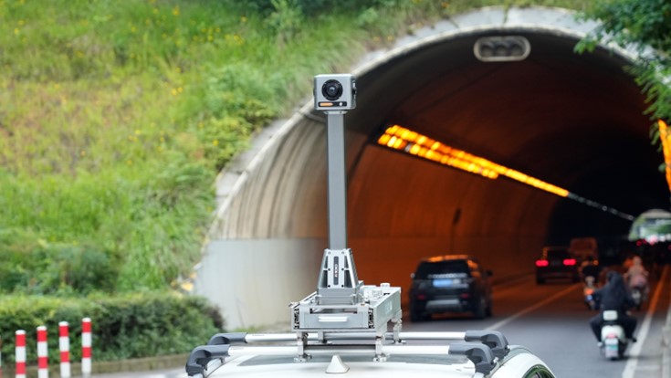
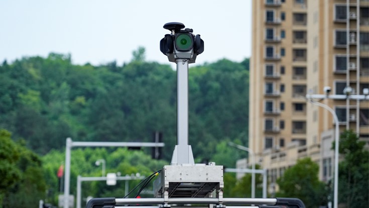
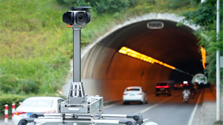
Pre-assembled camera, GNSS, and IMU architecture with minimal wiring.
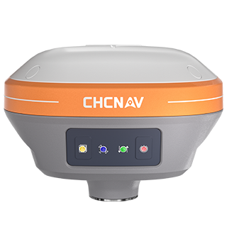
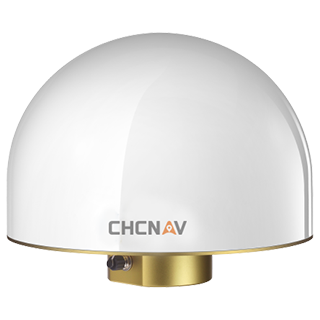
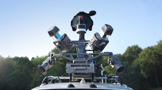
The MP7 integrates multi-constellation GNSS tracking for GPS, GLONASS, BeiDou, and Galileo with a high-precision IMU featuring ≤ 0.5°/h bias instability. PPK post-processing delivers 0.010 m horizontal and 0.020 m vertical RMSE positioning accuracy, with 0.01° pitch/roll and 0.02° heading RMSE for accurately georeferenced panoramic imagery.
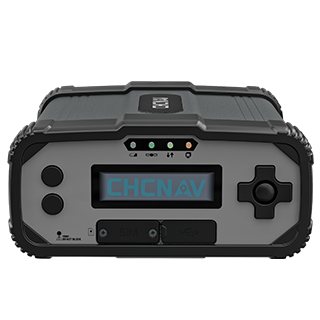
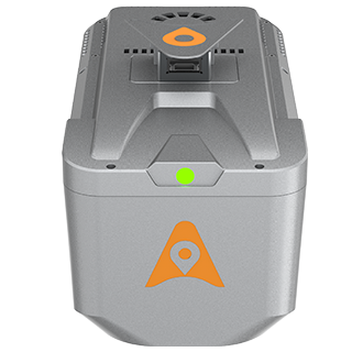
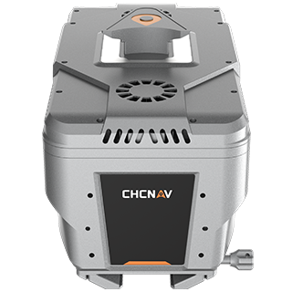
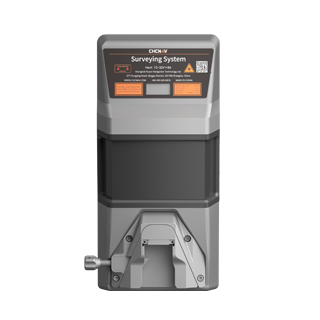
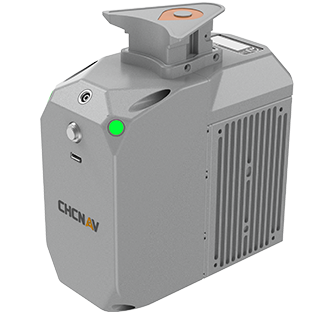
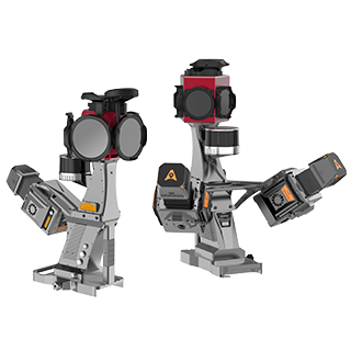
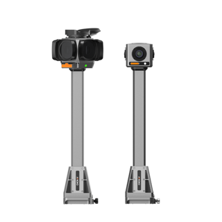
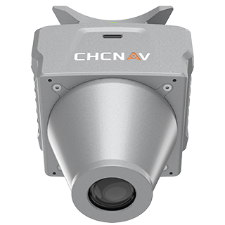
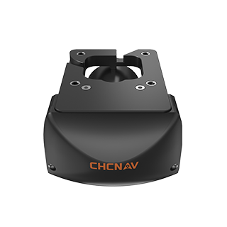
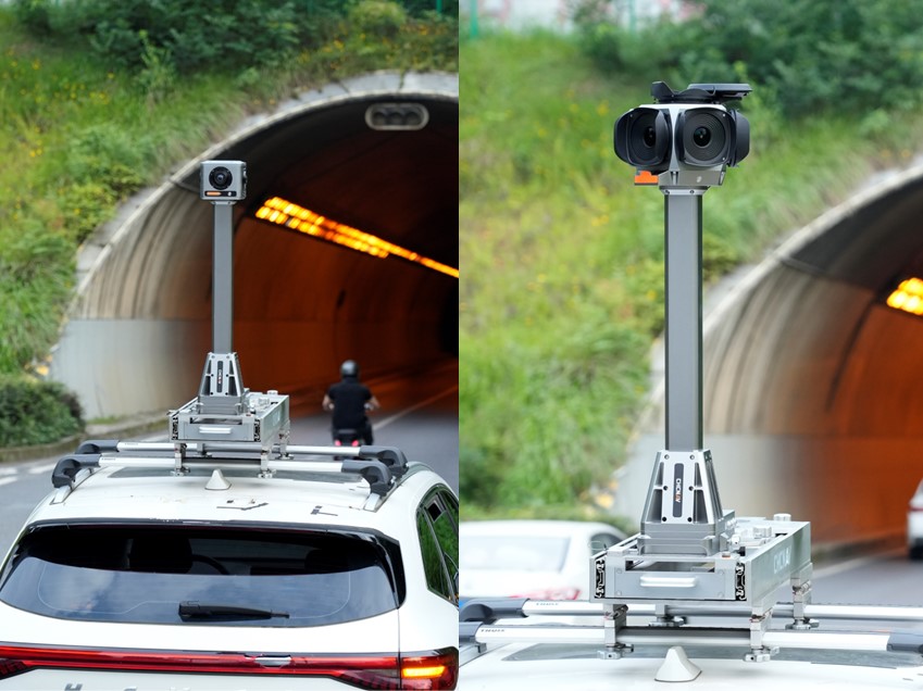
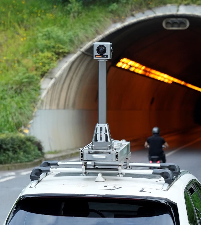
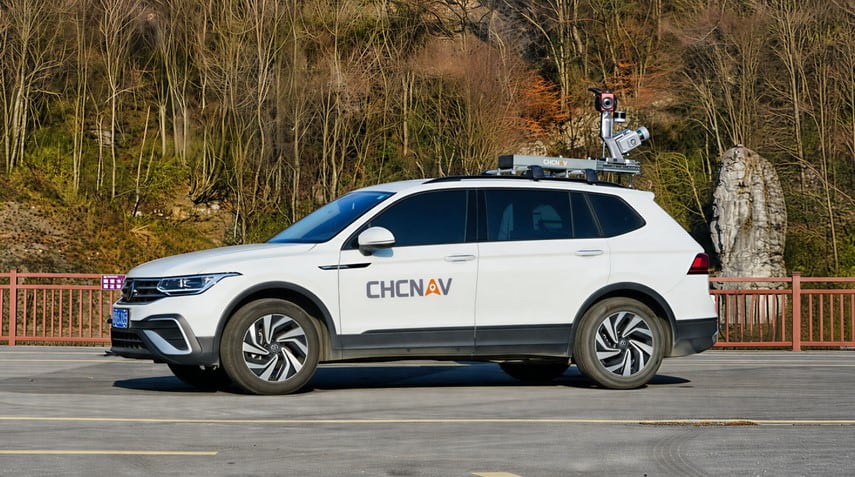
The MP7 combines the panoramic camera, high-precision IMU, and GNSS receiver in a single pre-assembled system. Minimal exposed wiring, predefined sensor integration, and no field alignment simplify installation and deployment, reducing setup time and integration effort for vehicle-based mobile mapping operations.
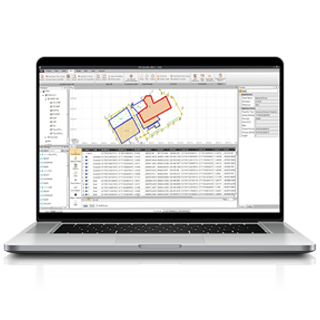
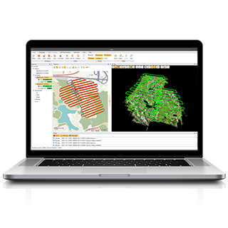
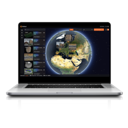
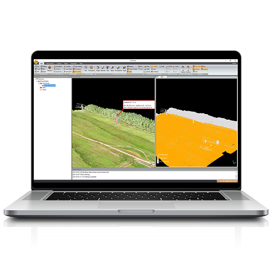
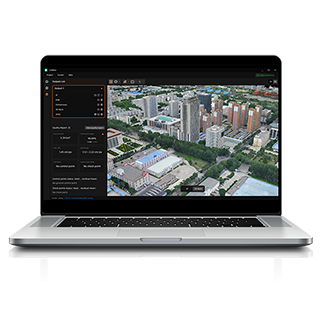
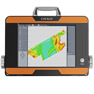
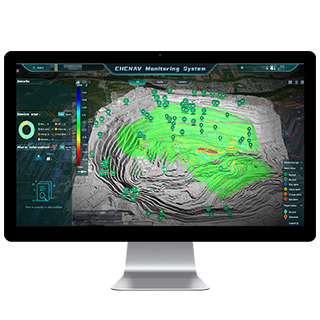
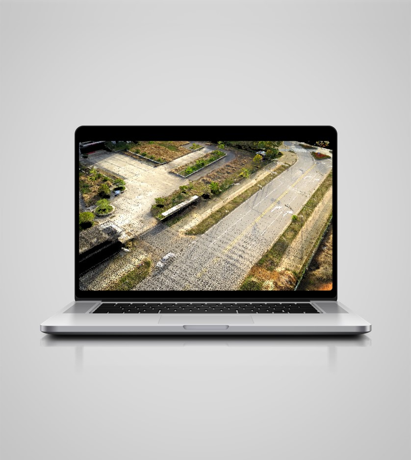
The MP7 includes dedicated software for acquisition, positioning, processing, and panoramic visualization. SmartGo provides real-time trajectory and image preview during field capture, while CoPre supports POS processing, panoramic stitching, image processing, and panoramic viewing, creating a streamlined workflow from data collection to georeferenced panoramic results.
Highway Surveying
Road Asset Management
Road Reconstruction and Expansion
As-built Road Measurement
Mobile Panoramic Mapping System
SEEKING FOR PERFECT SOLUTION TO FIT YOUR NEEDS?
Contact CHC Navigation to create a customized solution tailored to meet the specific needs of your business.
CHCNAV C4800
Compact Industrial 360° Camera
CHCNAV C7200
High-performance Industrial Panoramic Camera
CHCNAV AU20 MMS
High-End Mobile Mapping System
CHCNAV C30
Aerial Oblique Camera System