Professional Photogrammetry and 3DGS Software
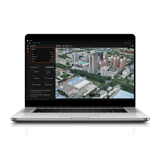
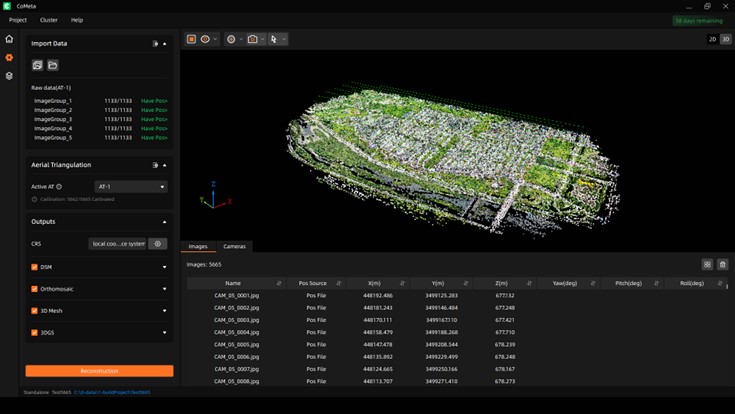
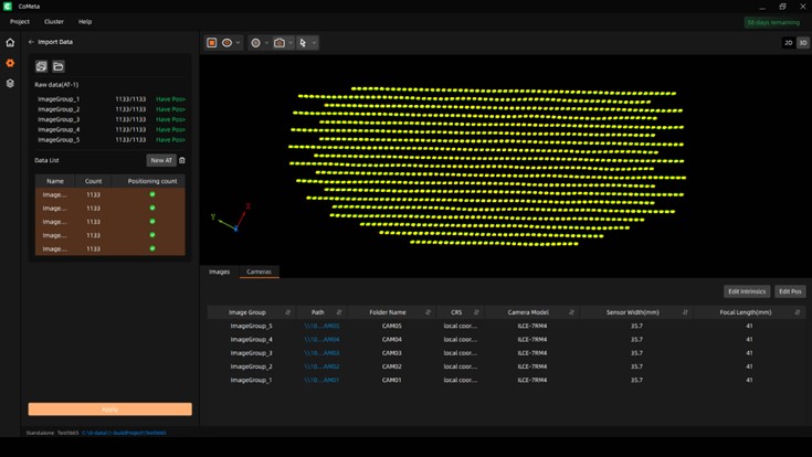
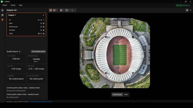
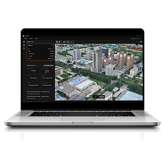
Import imagery, choose and process outputs, then review and export results.
Process 100,000+ images in one project and scale with 15+ cluster nodes.
Benchmark-tested at 3× faster for AT, orthomosaic, and mesh processing.
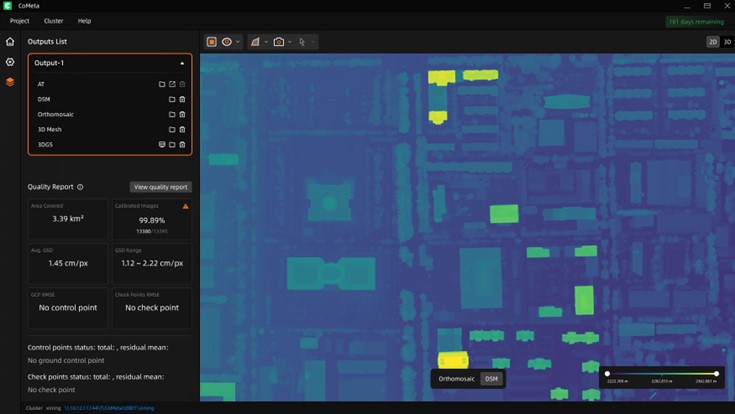
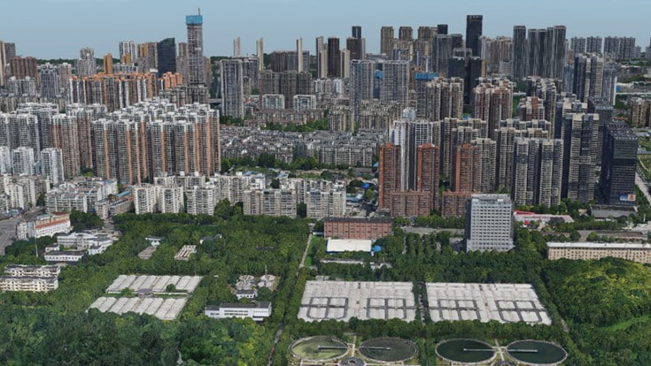
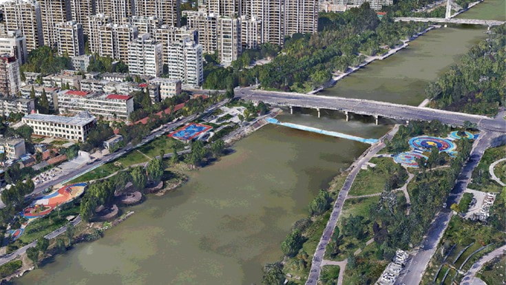
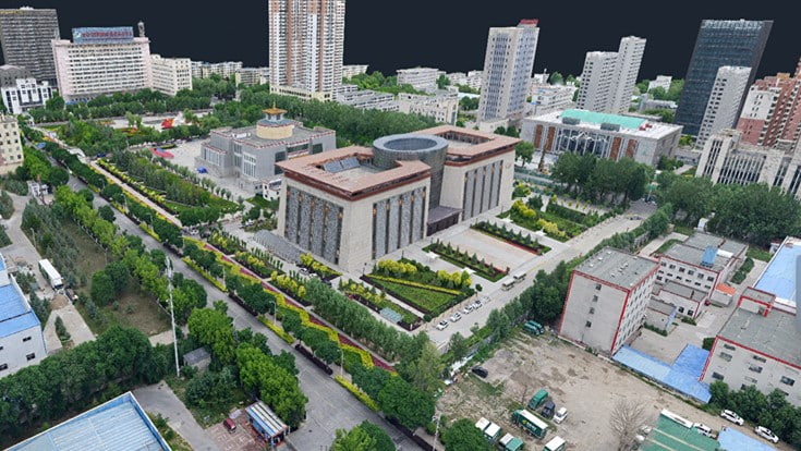
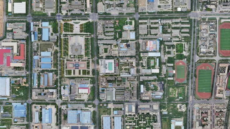
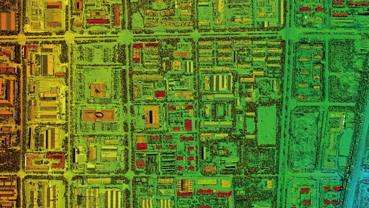
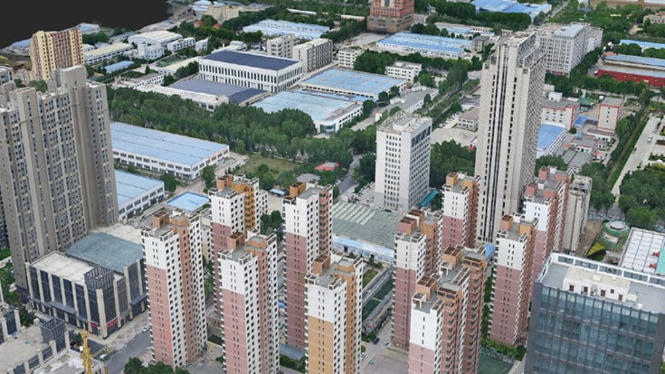
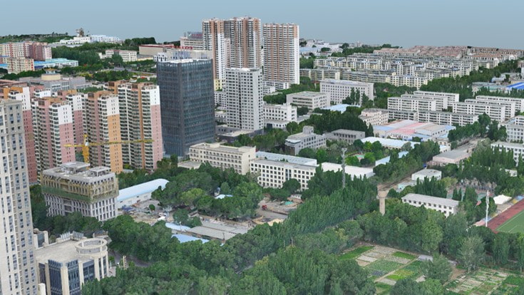
Generate orthomosaics, DSMs, meshes, and 3DGS models from one aerial triangulation result.
Surveying & Mapping
Real-Scene-3D-Mapping
Digital-Twins & Planning
Professional Photogrammetry and 3DGS Software
SEEKING FOR PERFECT SOLUTION TO FIT YOUR NEEDS?
Contact CHC Navigation to create a customized solution tailored to meet the specific needs of your business.
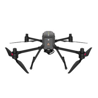
CHCNAV X500
Professional Multirotor Drone
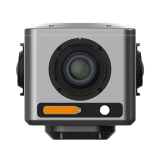
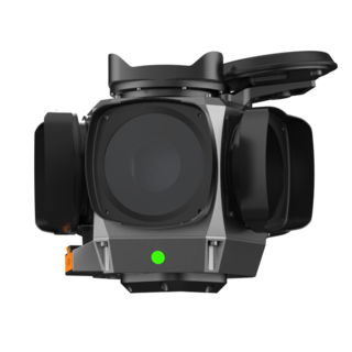
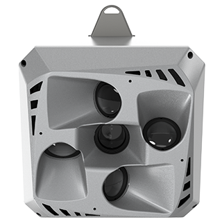
CHCNAV C30
Aerial Oblique Camera System
CHCNAV AlphaAir 15
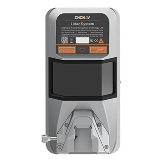
Premium Airborne LiDAR Solution
CHCNAV AlphaAir 6
Flagship LiDAR Measurement System + Imaging System
CHCNAV CoProcess
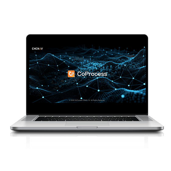
Point Cloud Processing Software for Scan-to-CAD and Terrain Modeling
CHCNAV CoMeta is professional photogrammetry and 3D modeling software that transforms UAV imagery into orthomosaics, DSMs, textured meshes, and photorealistic 3D Gaussian Splatting models.
Yes. CoMeta supports open image import and built-in camera profiles for systems including Leica CityMapper, CHCNAV C30, DJI Zenmuse P1, DJI Mavic 3 Enterprise, and DJI Matrice 4E.
CoMeta generates aerial triangulation results, GeoTIFF orthomosaics and DSMs, OSGB, OBJ, and 3D Tiles meshes, plus 3D Gaussian Splatting models in PLY and 3D Tiles formats.
Yes. CoMeta supports GCP-free RTK and PPK photogrammetry workflows. Automatic GCP position prediction also simplifies control-point identification and project setup when GCPs are required.
Yes. CoMeta processes projects with more than 100,000 images and supports masterless clusters with over 15 nodes. A 15-node cluster can process 20,000 images into a textured mesh in about one day.
Yes. CoMeta combines native 3D Gaussian Splatting with professional photogrammetry. Users can generate 3DGS models, textured meshes, orthomosaics, and DSMs from the same source imagery.
CoMeta supports UAV surveying, topographic mapping, terrain modeling, engineering projects, urban reconstruction, digital twins, asset documentation, emergency planning, and immersive visualization.
CoMeta supports time-limited registration codes and USB dongle licenses. Pricing depends on the selected software configuration. Contact CHC Navigation through the inquiry page for details.
More







































.png)





























.png)