


15 Jul 2026
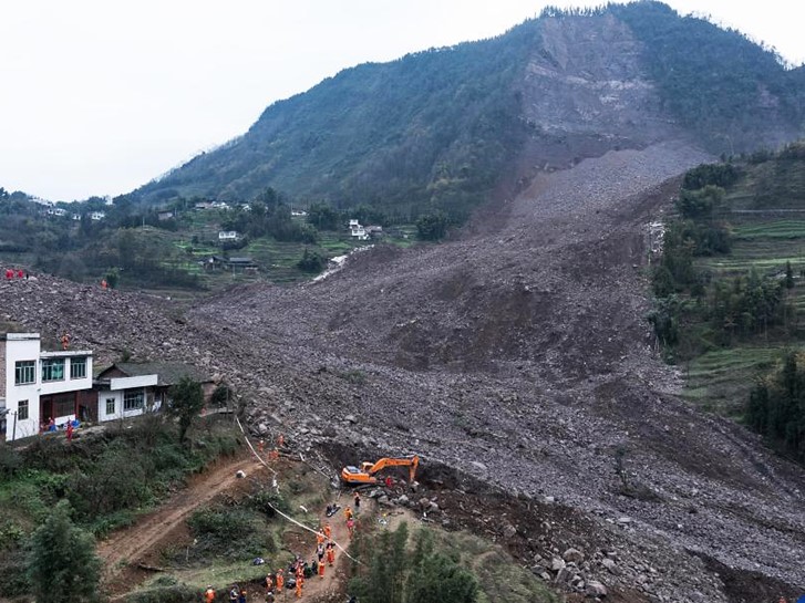
When a slope fails, the most dangerous question for any rescue team is whether it will move again. On 8 February 2025, a landslide struck Junlian County in Yibin, Sichuan, China. CHC Navigation assembled a rapid-response team to support the official emergency operation with real-time deformation monitoring, using ground-based radar and aerial mapping to watch the unstable mass around the clock and help keep search teams safe from a secondary landslide.
CHC Navigation formed a specialist support team drawn from technical staff in Shanghai, Wuhan and Sichuan, and travelled to the disaster zone with a set of emergency monitoring and mapping equipment. The team reached the site on 9 February and split into two groups, working alongside the National Mine Emergency Rescue Sichuan Coal Team and other units, and contributing as a joint partner of the Ministry of Emergency Management's key laboratory for earthquake and geological disaster search and rescue. The goal was emergency monitoring, early warning and geological hazard analysis to support the command centre.
The deployed equipment covered both continuous radar monitoring and rapid 3D terrain capture:
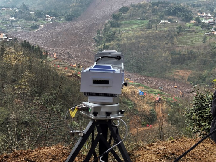
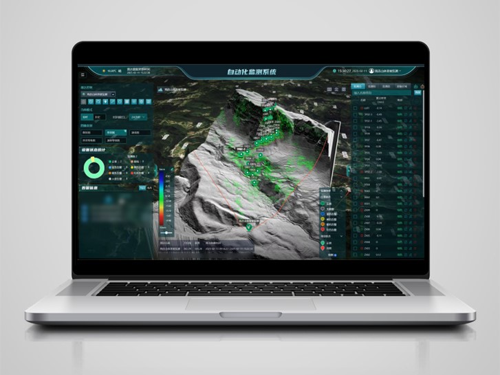
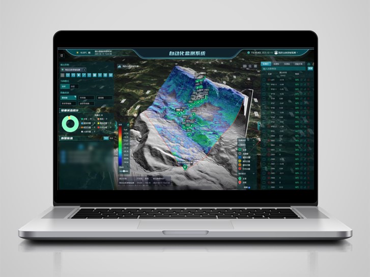
At the observation and early-warning point, the team rapidly deployed the slope radar. The radar tracked the displacement and stability of the entire landslide body 24 hours a day, and the team produced a continuous stream of slope monitoring and assessment reports. Those reports gave the command centre the information it needed to judge the situation, plan rescue operations, keep search and rescue work safe, and guard against secondary disasters. This is the core of slope stability monitoring: continuous, remote measurement that turns ground movement into a clear early-warning signal.
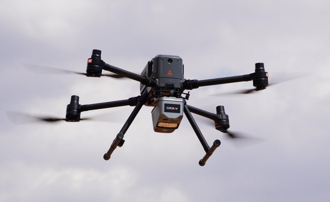
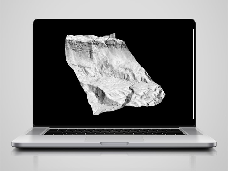
The terrain at the site was complex, so the team combined the UAV, LiDAR and oblique photogrammetry into a single airborne workflow. Two flights captured high-precision point cloud data across an area of about 3 square kilometres. Working overnight, the team processed the data into a set of core deliverables that reconstructed the event in detail: an orthophoto map (DOM), a real-scene 3D model (OSGB), ground elevation points and a Digital Elevation Model (DEM). Together these results revealed the direction of the debris flow and the displacement paths of buildings.
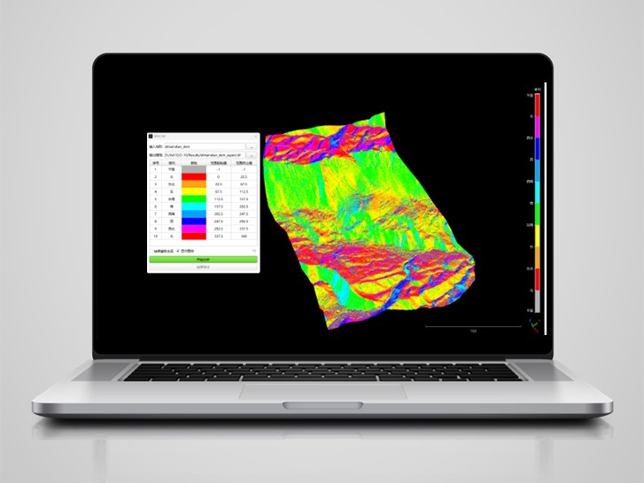
From the elevation model, the team also produced slope aspect and slope gradient analysis maps. These gave the command centre precise data to assess the risk of a second landslide and to identify potential failure points, so that rescue crews on the ground could be kept clear of the most exposed areas.
A landslide response is a race against an unstable slope that no one can safely stand on. Ground-based SAR addresses that challenge by measuring sub-millimetre movement across a whole face remotely, day and night, in almost any weather, without placing people or sensors on the moving ground. Paired with UAV LiDAR for terrain modelling and with GNSS and MEMS sensors for fixed-point monitoring, it gives a response team a complete deformation picture: where the slope is moving, how fast, and which areas may threaten a secondary failure. The same approach that protected rescue crews in Junlian is what protects dams, open-pit mines, railways and urban slopes in day-to-day operations.
| At a glance | Detail |
|---|---|
| Event | Landslide at Junlian County, Yibin, Sichuan, China, on 8 February 2025 |
| Response team | CHC Navigation specialists from Shanghai, Wuhan and Sichuan, on site by 9 February |
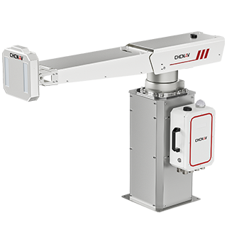
| Slope radar | PS-2000 ground-based SAR, 24-hour continuous displacement monitoring of the landslide body |
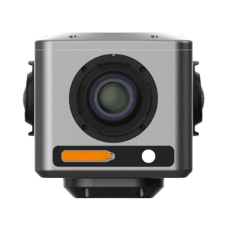
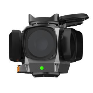
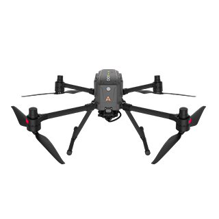
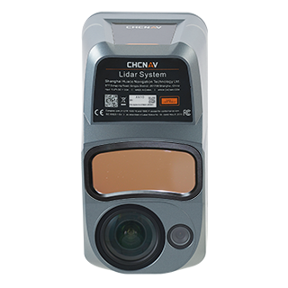
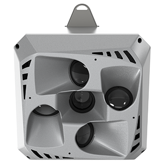
| Aerial mapping tools | X500 UAV equipped with the AlphaAir 10 LiDAR and C30 oblique camera for the acquisition of approximately 3 km² of high-density point cloud data in two flights |
| Software |
1. MAS, a cloud-based monitoring and alarm platform for real-time visualization of ground-based SAR displacement data, 24/7 slope movement monitoring, and early warning; 2. HCMonitor, high-precision deformation monitoring and calculation software for GNSS and MEMS sensor data processing, station management and deformation analysis; 3. CoProcess, point cloud processing software for AI-assisted classification, terrain modeling, DEM generation, scan-to-CAD workflows, and conversion of large LiDAR datasets into engineering-ready deliverables (including OSGB, DEM and other survey outputs). |
| Deliverables | Orthophoto (DOM), real-scene 3D model (OSGB), ground elevation points, DEM, slope aspect and gradient maps |
| Purpose | Secondary-disaster risk assessment, rescue planning and search team safety |
For organisations responsible for slopes, dams and infrastructure, the Junlian deployment shows how ground-based SAR and UAV LiDAR work together in the field. The same integrated workflow is available across CHC Navigation's monitoring and geospatial mapping solutions. The monitoring solutions include the PS-2000 360° ground-based SAR monitoring system, the MAS cloud-based monitoring and alarm platform for real-time visualization, integrated monitoring and early warning, and HCMonitor high-precision deformation monitoring and calculation software for GNSS and MEMS sensor integration, deformation analysis and station management. The geospatial mapping solutions include the X500 UAV, AlphaAir 10 UAV LiDAR, C30 oblique aerial camera, and CoProcess point cloud processing software for rapid 3D terrain mapping, point cloud processing and generation of engineering-ready deliverables.
CHC Navigation (CHCNAV) develops advanced mapping, navigation, and positioning solutions designed to increase productivity and efficiency. Serving industries such as geospatial, agriculture, machine control and autonomy, CHCNAV delivers innovative technologies that empower professionals and drive industry advancement. With a global presence spanning over 140 countries and a team of more than 2,200 professionals, CHC Navigation is recognized as a leader in the geospatial industry and beyond. For more information about CHC Navigation [Huace:300627.SZ], please visit: https://geospatial.chcnav.com/about/overview
CHCNAV PS-2000
Multi-Point Deformation Monitoring System
CHCNAV X500
Professional Multirotor Drone
CHCNAV AlphaAir 10
Professional Airborne LiDAR+RGB System
CHCNAV C30
Aerial Oblique Camera System







































.png)






















.png)
.png)