
23 Oct 2026
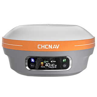
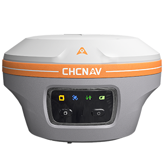
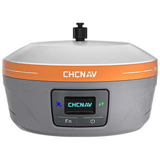
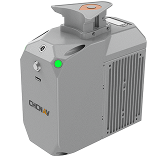
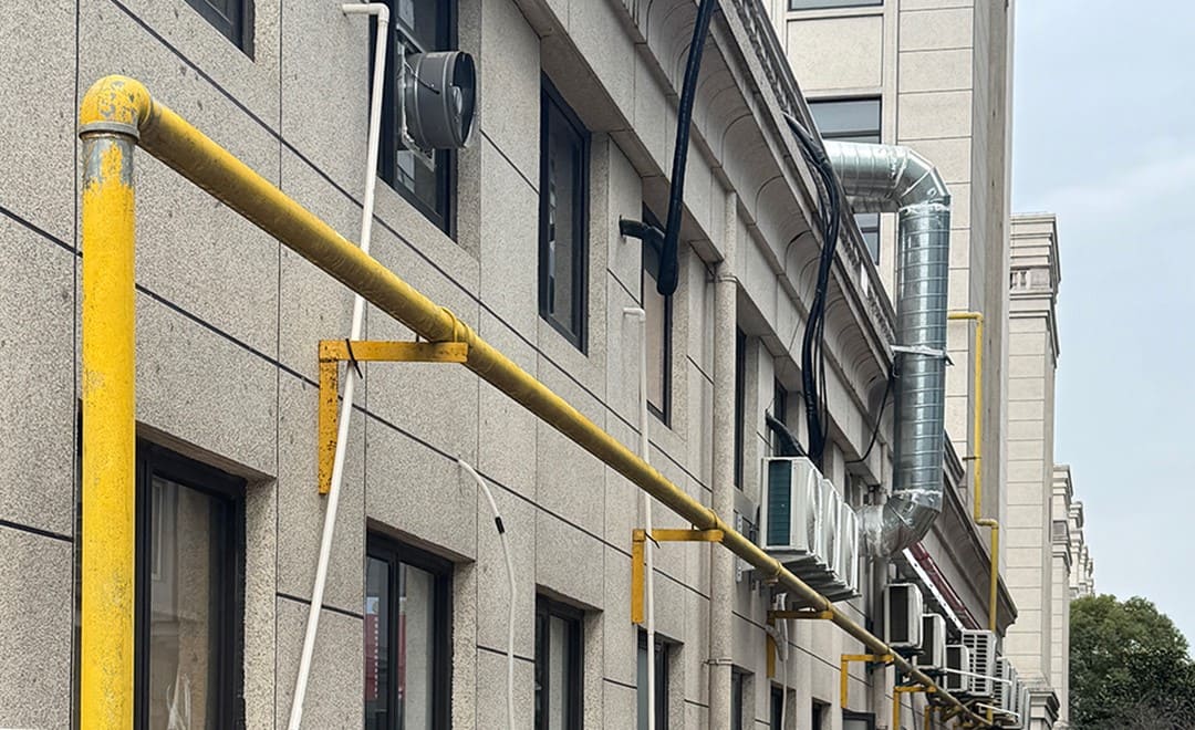
Cities across China are replacing aging gas pipelines, and the work has created a large volume of outdoor inspection and as-built survey tasks. The renovated lines are different from the buried pipes they replace. Most are risers and overhead runs fixed along building walls in residential areas and industrial parks, surrounded by tall buildings and trees. Every elbow and joint needs a reliable coordinate, because deformation or displacement that goes unrecorded becomes a safety risk over time. This article looks at how two CHC Navigation receivers, the CHCNAV i85 and the CHCNAV ViLi i100, let a crew complete a pipeline survey from the ground.
A conventional pipeline survey places a pole on each point. That works for a valve at ground level and fails for a pipe several meters up a wall. Three problems come up on almost every site:
For the organization that manages the network, the coordinates are the product. Inspection records, hazard follow-up and renovation sign-off all depend on them being accurate.
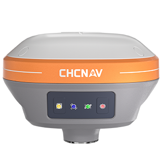
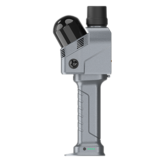
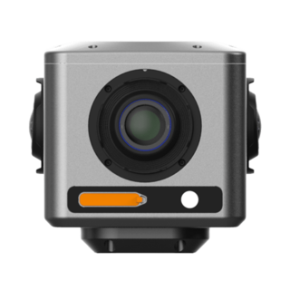
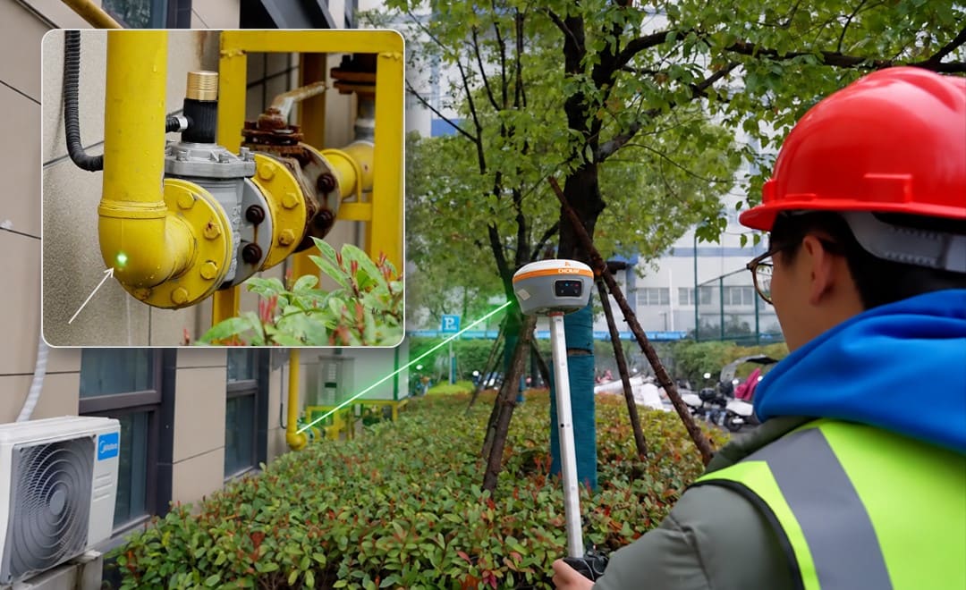
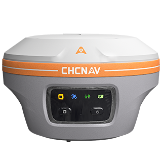
The i85 carries a laser rangefinder alongside its GNSS and IMU sensors. The operator stands in a safe position, aims at the pipe elbow and records the point without touching it. The laser rangefinder measures distances of up to 150 meters, with accuracy of up to 3 cm at 5 meters, supported by IMU compensation.
This changes where the receiver has to be. It can stay in a spot with a better view of the sky while the laser reaches the point beside the wall, so the obstructed position is measured without standing in it. The same applies to pipes inside green belts, which are measured from the path.
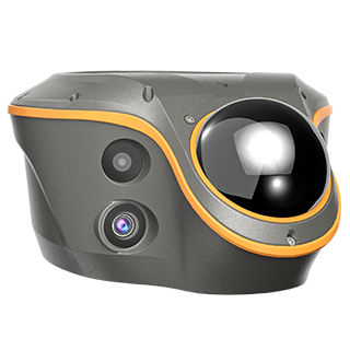
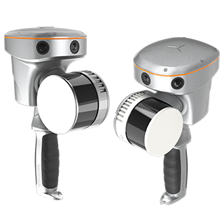
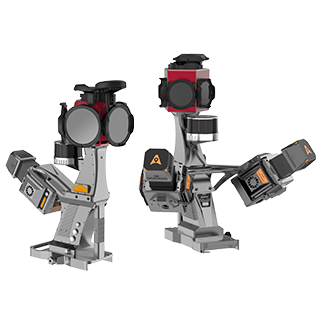
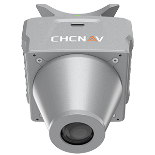
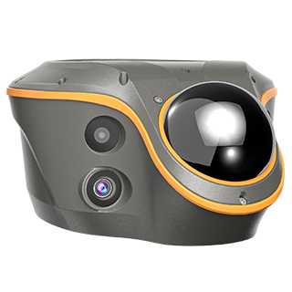
The ViLi i100 takes a different route to the same goal. Its Vi-LiDAR contactless survey function works much like taking a photo with a phone: the operator photographs the pipe, then selects the points to measure on the image. Several points can be picked from a single photo, and their 3D coordinates are returned together, which suits a run of pipe with many fittings close to one another.
The ViLi i100 is also built for the narrow gaps between buildings where satellite positioning is weakest. The SFix 2.0 engine delivers positioning accuracy of 5 cm within 20 meters in GNSS-denied areas, supported by a LiDAR sensor capable of capturing 860,000 points per second. A surveyor can walk from an open area into a tight passage and keep measuring.
| Step | What the crew does |
|---|---|
| 1. Prepare | Power on in an open area and initialize RTK. |
| 2. Measure | With the i85, aim the laser at the pipe point and record it. With the ViLi i100, photograph the pipe and pick the points on the image. |
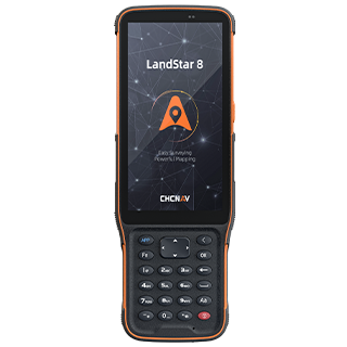
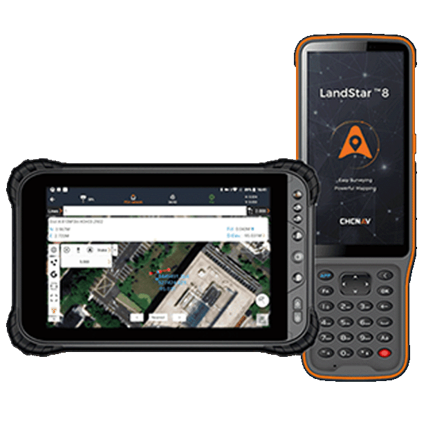
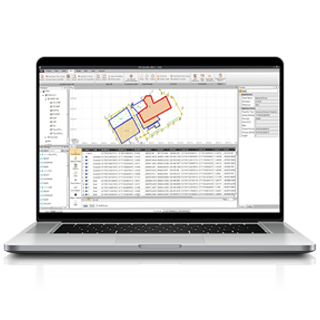
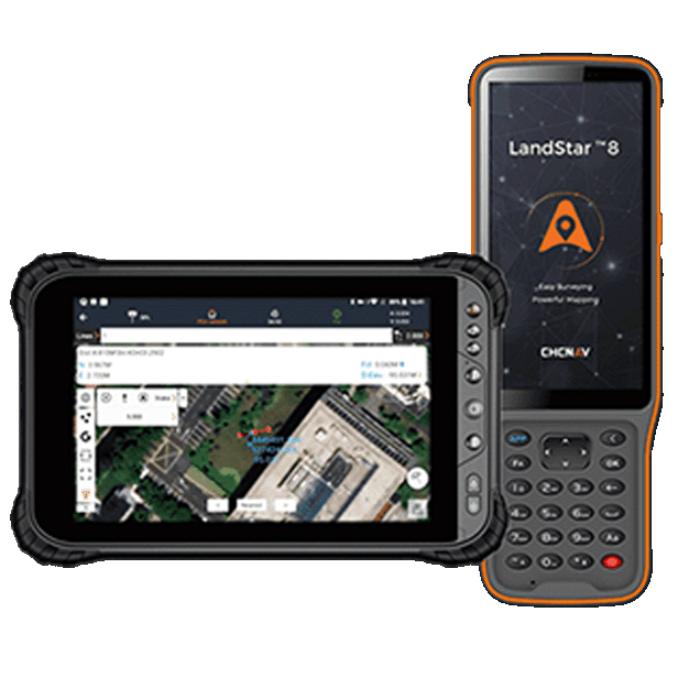
| 3. Export | Export the data in a standard format from the LandStar field software and load it into the pipeline GIS. |
Once in the GIS, the same coordinates serve three jobs: updating routine inspection records, tracking hazards through to rectification, and verifying as-built results after renovation.
| Situation on site | Better fit | Why |
|---|---|---|
| Single points high on a wall or across a green belt | i85, laser measurement | One aim and one reading per point, from a distance |
| A run of pipe with many fittings close together | ViLi i100, Vi-LiDAR | Several points picked from one photo |
| Narrow gaps between buildings with little sky view | ViLi i100, SFix 2.0 | Positioning is held where satellite signals are blocked |
Nothing in this workflow is specific to gas. The same ground-based approach applies wherever pipes and conduits run above ground or close to buildings: electrical conduit routes, municipal networks, and pipelines inside campuses and industrial plants. In each case the crew stays on the ground, the points are measured without contact, and the results go straight into the asset records.
If you are deciding which receiver suits your sites, our guide to choosing a GNSS receiver for your survey site compares the range by working conditions, and our surveying and engineering solutions page covers the wider equipment set.
CHC Navigation (CHCNAV) develops advanced mapping, navigation, and positioning solutions designed to increase productivity and efficiency. Serving industries such as geospatial, agriculture, machine control and autonomy, CHCNAV delivers innovative technologies that empower professionals and drive industry advancement. With a global presence spanning over 140 countries and a team of more than 2,200 professionals, CHC Navigation is recognized as a leader in the geospatial industry and beyond. For more information about CHC Navigation [300627.SZ], please visit: https://geospatial.chcnav.com/about/overview
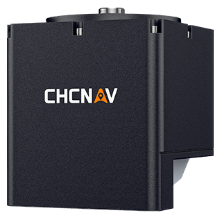
CHCNAV i85
Pocket-Sized Laser IMU-RTK GNSS Receiver
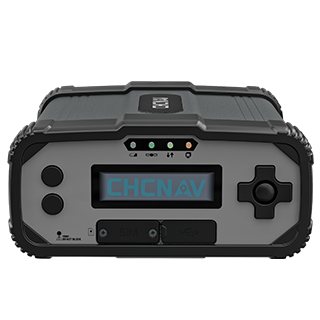
CHCNAV ViLi i100
Visual-LiDAR GNSS RTK receiver with consistent accuracy in obstructions
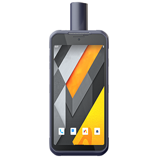
CHCNAV LandStar
Land Surveying and Mapping App