24 Sept 2026
Most surveyors can name the receiver specification they care about. Fewer can say which part of their site decides whether that specification matters. A receiver that performs well in an open field can be the wrong choice for a crew that spends half its day beside buildings, measuring kerb lines under trees, or setting out on a remote corridor with no correction network in range.
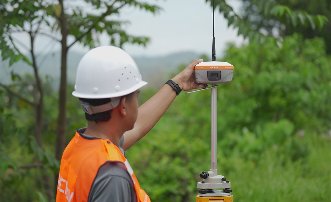
That is why this guide starts from the site rather than from the product list. A GNSS receiver for surveying tracks several satellite constellations, including GPS, GLONASS, Galileo and BeiDou, and every receiver in our range covered here works within an RTK workflow. What separates them is how each one handles the conditions that make fieldwork slow: points you cannot stand on, sky you cannot see, corrections you cannot reach, and days that run longer than a battery. Read the sections that describe your own sites, and the right receiver usually becomes obvious.
If you want the underlying technology first, our article on how RTK improves positioning accuracy explains how a base and a rover work together to reach centimeter-level results.
Before comparing models, it helps to answer four questions about the work you actually do, because each one points to a different design choice.
How much of the site has clear sky? In open terrain, almost any modern receiver reaches a fixed solution quickly. Beside tall buildings, under dense canopy or at the edge of a structure, the receiver's ability to reject reflected signals and keep working with partial sky becomes the deciding factor.
Can you physically occupy every point? Building corners, road centerlines in live traffic, points across water or on a steep face all cost time and add risk if someone has to stand on them. Receivers that measure a point without the pole touching it change that equation.
Where will your corrections come from? A local base station, a network RTK service over a cellular connection, or satellite-delivered corrections each suit different sites. The correction source is as much part of the decision as the receiver itself.
How long is a working day, and how is it shared? A single surveyor doing short stakeout visits needs something light. A crew running a base and several rovers all day needs battery life, radio range and the connections to keep every controller in sync.
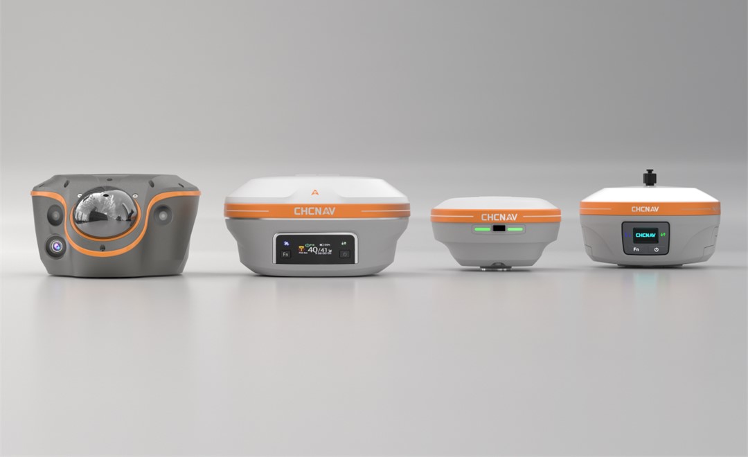
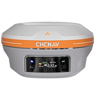
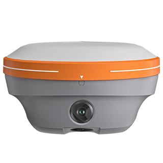
For topographic work, boundary surveys, construction layout and the general mix of jobs most firms take on, the CHCNAV i93 is the flagship IMU-RTK receiver in the range. It combines high-performance GNSS with an automatic IMU and dual cameras, so the pole can be tilted instead of leveled on every shot, and 3D visual stakeout guides the surveyor to a point with an on-screen arrow and a live distance.
The cameras add a second way of working. Where a point is awkward to occupy, such as under an overpass or at the base of a wall, the i93 can capture survey-grade coordinates from video rather than from the pole tip. It operates as a rover or as a base, and it supports PointSky satellite corrections, rated on the product page at 3 cm accuracy within 3 to 10 minutes where no base station is available.
If your sites are mostly open and your crews do a little of everything, this is usually where the decision ends.
Some jobs are defined by the points nobody should stand on: the corner of a building across a live road, a structure on the far bank, a face on a quarry or a stockpile. For that work, the CHCNAV i85 adds a laser rangefinder to the receiver. It measures points up to 150 m away, with up to 3 cm accuracy at 5 m, so the surveyor stays in a safe position and still records the coordinate.
The i85 also carries an automatic IMU with tilt compensation, holding 3 cm accuracy within a 60° tilt range, and AR navigation and stakeout through its cameras. At 800 g with IP68 protection, it is built to be carried all day on sites where access is the main constraint.
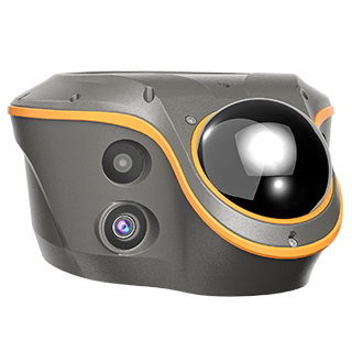
Urban blocks, tree-lined streets and the edges of structures are where conventional RTK spends the most time waiting for a fix. The CHCNAV ViLi i100 is designed for exactly these conditions. It combines GNSS filtering with visual and LiDAR sensing, and its product page rates it at 5 cm accuracy in challenging GNSS environments and 5 cm accuracy within 20 m in areas where GNSS is denied altogether.
The LiDAR also makes it a measuring tool in its own right. Contactless survey lets a crew capture an area once and extract points in batches afterwards, and point cloud earthwork calculation turns a scan of a stockpile or a cut into a volume on site. For firms whose work keeps moving into built-up areas, the ViLi i100 removes much of the stop-and-wait that obstructed sites impose.
On corridors, in mining areas and in rural projects, the limiting factor is often not the sky but the corrections. There may be no network RTK coverage, no cellular signal and no convenient place to leave a base unattended.
For teams that do not need satellite-delivered corrections but switch often between controllers, correction sources and data links, the CHCNAV i83 offers the same set of Wi-Fi, Bluetooth, NFC, UHF and 4G connections with a calibration-free IMU, and its battery provides up to 34 hours of continuous RTK rover operation.
CHC Navigation's own satellite-delivered service, PointSky, is a further option on receivers that support it, including the i93 and i85, for work in regions the service covers.
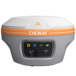
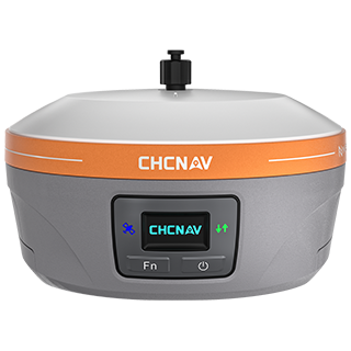
For a surveyor who spends the day moving between short stakeout visits, weight matters more than almost anything else. The CHCNAV i76 weighs 450 g, is IP68 rated, and pairs dual cameras for AR visual stakeout with a fifth-generation IMU that maintains accuracy at up to 60° of pole tilt. It offers more than 17 hours of battery life and, with its built-in UHF radio, can run as either the base or the rover in a two-receiver setup.
Where there is no reliable network and satellite corrections are not an option, a local base station remains a dependable way to send corrections to one or more rovers. The base sits over a known point, calculates the errors in the satellite signals, and broadcasts corrections by radio to the rovers working around it.
The CHCNAV iBase is the dedicated base station in the range. Its product page describes up to 30 km of radio coverage in complex terrain and more than 13 hours of continuous operation, which is what allows a crew to set it up once in the morning and leave it running while several rovers work across a large site.
A practical rule of thumb: if you regularly run more than one rover from the same corrections, or work far enough from infrastructure that network coverage is unreliable, a dedicated base is usually worth the extra setup. If your crews usually work alone within network coverage, a receiver that can double as a base when needed, such as the i93 or i76, may be enough.
| What defines your site | What matters most | Receiver to start with |
|---|---|---|
| Open sky, mixed everyday work | Fast fixes, tilt compensation, visual stakeout | i93 |
| Points that are unsafe or impossible to occupy | Measuring without the pole on the point | i85 |
| Buildings, canopy, partial or no sky | Accuracy where GNSS is obstructed, scanning | ViLi i100 |
| Short visits, one surveyor, lots of walking | Weight and quick stakeout | i76 |
| Several rovers on one set of corrections | Radio range and all-day operation | iBase |
In practice, very few survey firms run a single receiver model. The common pattern is an everyday rover that covers most of the workload, paired with either a dedicated base for projects that need one or a specialist unit for the sites that slow everyone down. A firm doing mostly open-sky construction layout might pair i93 rovers with an iBase. A firm moving into urban utility work might add a ViLi i100 to the fleet for the streets where its existing rovers struggle.
Thinking in terms of pairs also makes upgrades easier to plan. Rather than replacing everything at once, a firm can add the one receiver that removes its biggest daily bottleneck, whether that is unreachable points, obstructed sky, missing corrections or simply weight.
For a wider view of how GNSS receivers fit alongside total stations, controllers and software, see our guide to land surveying equipment, the latest updates to the i93, i85, i76 and iBase, and the full range on our surveying and engineering solutions page.
CHC Navigation (CHCNAV) develops advanced mapping, navigation, and positioning solutions designed to increase productivity and efficiency. Serving industries such as geospatial, agriculture, machine control and autonomy, CHCNAV delivers innovative technologies that empower professionals and drive industry advancement. With a global presence spanning over 140 countries and a team of more than 2,200 professionals, CHC Navigation is recognized as a leader in the geospatial industry and beyond. For more information about CHC Navigation [300627.SZ], please visit: https://geospatial.chcnav.com/about/overview
CHCNAV i93
Advanced IMU-RTK GNSS Receiver with Visual Surveying
CHCNAV i85
Pocket-Sized Laser IMU-RTK GNSS Receiver
CHCNAV ViLi i100
Visual-LiDAR GNSS RTK receiver with consistent accuracy in obstructions
CHCNAV i76
Palm-Sized GNSS with Visual Stakeout
CHCNAV iBase
Integrated GNSS Base Station for Stake-Out and Control Surveys







































.png)