14 Oct 2026
An RTK receiver that also carries a LiDAR sensor and cameras raises questions that a conventional receiver never did. What does the laser add to satellite positioning? Why does it point upward? Can it replace a total station under a roof? This article collects the questions surveyors ask most often about the CHCNAV ViLi i100, with answers from the CHC Navigation product team. If you are new to the technology itself, start with our explainer on what RTK is and how it improves positioning accuracy.
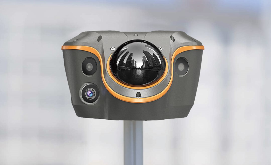
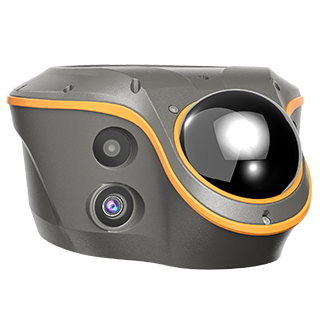
Four things set it apart, and all four come from combining GNSS with a LiDAR sensor and cameras in one unit:
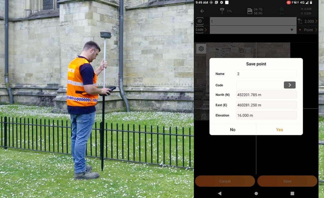
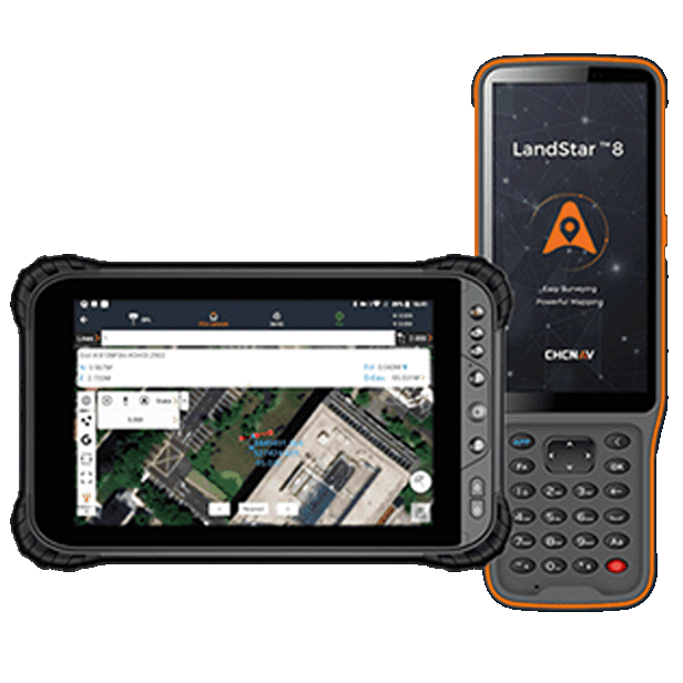
Alongside these it remains a complete GNSS receiver. With LandStar field software it supports the usual CORS, UHF and PPP working modes and visual stakeout.
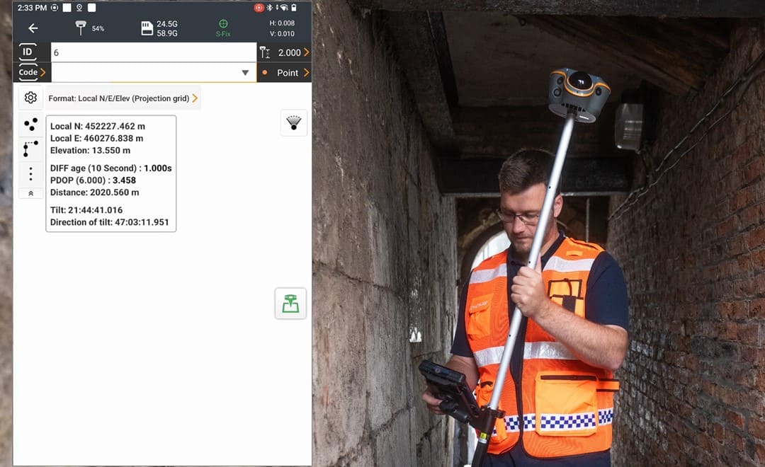
Until now, a point under a roof, inside a passage or tight against a wall meant putting the receiver away and setting up a total station or another optical instrument. SFix 2.0 lets the surveyor walk in and keep measuring. According to the product page, the receiver holds 5 cm accuracy within 20 meters in areas with no satellite signal, using its LiDAR, which captures 860,000 points per second, to track its own movement from the last good position.
The practical effect is fewer instrument changes. Points that used to be left for a second visit with different equipment are measured in the same pass.
All three exist to measure points that are hard to reach, have poor signal or are unsafe to stand on. The two older methods each have a limit:
| Method | How it works | Where it falls short |
|---|---|---|
| Video measurement | Record a video around the target, then compute the coordinates | The result is not immediate, because the computation takes time on site. It is sensitive to light, distance and camera angle, and a blurred or distorted image produces large errors |
| Laser measurement | Aim a laser at the target and read the distance | A small hand tremor moves the dot off a distant target. At longer range or in bright light the dot is hard to see, so the operator cannot be sure what was measured |
| Vi-LiDAR | Take a photo, then pick the points on the image | The target must be within the working range of the sensor |
With Vi-LiDAR the operator photographs the scene first and selects the points afterwards. There is nothing to aim and nothing to hold steady, and the coordinates are returned directly. Several points can be picked from one photo. The product page gives 5 cm accuracy at up to 15 meters, supported by an 8 MP telephoto camera that keeps distant targets sharp when the image is enlarged.
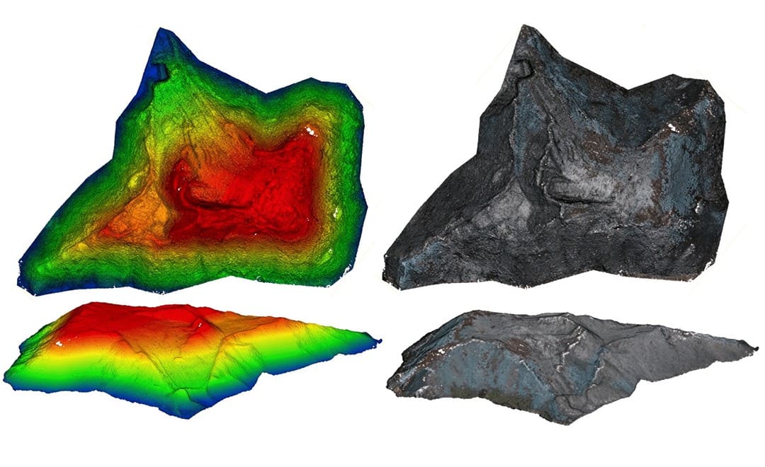
The conventional way to measure a stockpile is to walk over it with an RTK receiver and collect points one by one. Where the surface is uneven, more points are needed. It takes time, it means climbing the pile, and the result depends on how densely the surveyor sampled it.
The ViLi i100 replaces the point collection with three actions:
There are two reasons, and both concern positioning and not scanning.
The first is stability. Facing upward, the sensor has a much wider effective field of view than it would facing down. A wider view gives the positioning algorithm more data to work with, which makes it more stable.
The second is satellite filtering. To recognize which satellites are not in direct line of sight, the receiver needs a point cloud of what is above and around it. From that point cloud it identifies trees and walls, works out which satellite signals they block or reflect, and removes those signals from the solution automatically. This is what improves accuracy beside buildings and under tree cover.
The receiver is supplied with a protective cover for the LiDAR head as standard. It protects the sensor against the knocks of normal field use and does not affect measurement, so it can stay on while working. The cover is removable.
Yes. The point cloud can be exported as a LAS file, thinned to a 5 cm point spacing. That is enough for extracting point coordinates and for checking results in the office. It is not intended as a source for 3D modeling, which calls for a dedicated scanner and a denser point cloud.
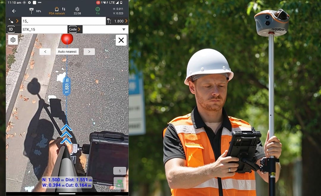
The ViLi i100 is built for sites where satellite signals are the limiting factor: alleys, tree cover, the foot of tall buildings and covered areas. Beyond positioning in challenging environments, its dual cameras enable CAD and AR visual stakeout, helping surveyors locate design points visually and complete stakeout tasks more efficiently, with efficiency gains of up to 50%. On open sites a conventional receiver may be all a crew needs. Our guide to which GNSS receiver fits your survey site sets out the range by working conditions.
CHC Navigation (CHCNAV) develops advanced mapping, navigation, and positioning solutions designed to increase productivity and efficiency. Serving industries such as geospatial, agriculture, machine control and autonomy, CHCNAV delivers innovative technologies that empower professionals and drive industry advancement. With a global presence spanning over 140 countries and a team of more than 2,200 professionals, CHC Navigation is recognized as a leader in the geospatial industry and beyond. For more information about CHC Navigation [300627.SZ], please visit: https://geospatial.chcnav.com/about/overview
CHCNAV ViLi i100
Visual-LiDAR GNSS RTK receiver with consistent accuracy in obstructions
CHCNAV LandStar
Land Surveying and Mapping App







































.png)