23 Sept 2026
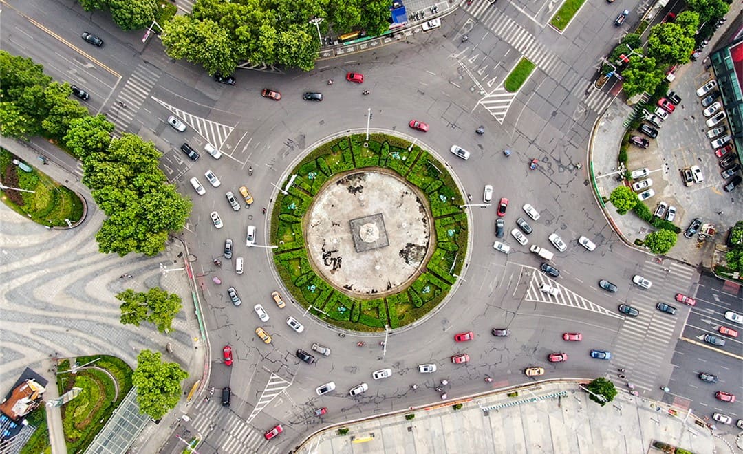
As cities manage traffic in finer detail, complex intersections have become a priority, and the teams planning them need accurate, up-to-date topographic maps of every one. A single project can cover several hundred intersections, sometimes several thousand, on a tight schedule. For a topographic mapping project across the central district of a major city in China, a CHC Navigation partner used the CHCNAV RS10 to capture more than 600 intersections, built lightweight 3D models from the scans, and drew the required maps from those models, completing the work on schedule and passing quality inspection.
Intersections are among the hardest places in a city to survey. Each one is small, but they are scattered across the road network, and each is full of the features a traffic map needs: lane markings, traffic lights, signs, cameras, manhole covers and drainage grates.
The conventional options each carried a cost on this kind of project:
The project called for a method that could capture each intersection quickly, keep the crew out of traffic, and produce data detailed enough to draw from without returning to site.
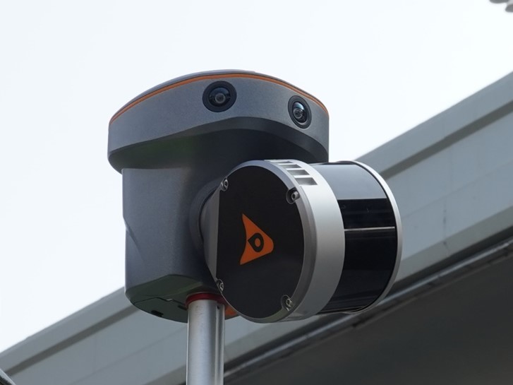
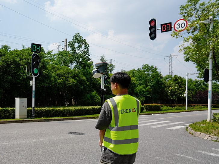
The field team used the RS10 in pole mode. Mounting the scanner on a survey pole raised it above passing pedestrians and vehicles, which gave a clearer line of sight and helped keep the captured data complete. An operator walked the sidewalk along the intersection and back, and that single pass was enough to capture the site, so nobody had to step into the roadway.
The RS10 combines GNSS RTK with LiDAR and visual SLAM, and its product page rates it at 5 cm absolute accuracy. Because the point cloud survey is georeferenced in the field, the team did not need to set out control points in advance for coordinate transformation, which saved considerable time and labor across hundreds of sites.
One person captured a complete intersection in 10 to 15 minutes, including:
The client required 1:500 topographic maps in the China Geodetic Coordinate System 2000, with ellipsoidal heights, drawn with a prescribed symbol set and a layer structure that matched a sample drawing exactly.
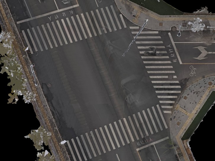
The team processed the scans in CHCNAV CoPre. After setting the coordinate system and selecting the data, one-click refinement and HPM modeling processed the scans automatically and produced 3D models in OSGB format, already referenced to the required coordinate system.
An updated moving object detection algorithm in CoPre recognized pedestrians and vehicles and filtered them out automatically, so the models did not need manual cleanup before drawing.
The OSGB models are about 80% smaller than the point clouds they come from. The team imported them directly into its existing CAD mapping software as the drawing reference, which avoided buying higher-specification computers and spared staff the time and cost of learning point cloud drawing software from scratch.
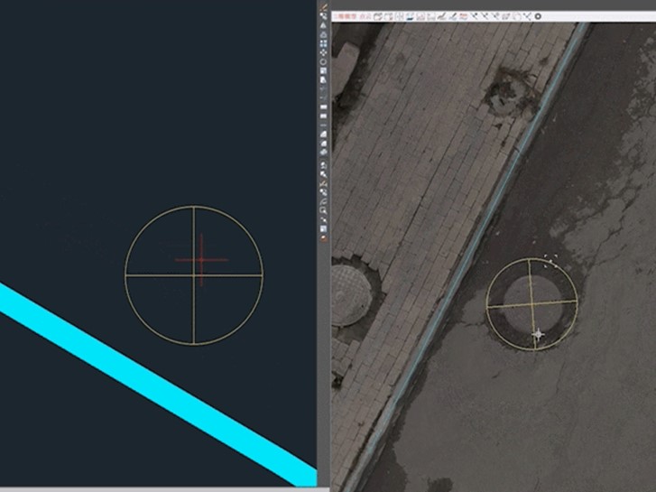
With a detailed, high-resolution 3D model of each intersection on screen, drafters could identify and label every traffic sign, street name sign and manhole cover directly. On previous projects, missing features or attributes that could not be identified from the survey data had meant repeated return visits and redrawing. Here, the information needed for the map was already in the model.
The project ran with two RS10 systems and two teams of two. Each team captured and drew 10 to 13 intersections a day, and together they completed more than 600 intersections in two months, all of which passed quality inspection.
| Outcome | Detail |
|---|---|
| Scope | More than 600 urban intersections |
| Equipment and crew | Two RS10 systems, two teams of two |
| Field capture | 10 to 15 minutes per intersection, one operator, from the sidewalk |
| Daily output | 10 to 13 intersections captured and drawn per team |
| Ground control | No control points set out in advance |
| Processing | OSGB models from CoPre, with moving pedestrians and vehicles filtered automatically |
| Deliverable | 1:500 topographic maps, completed in two months and passed quality inspection |
What made this project work was not a single fast site but a method that held up across hundreds of them. Capture from the sidewalk kept crews out of traffic, georeferenced scans removed the control point step, and lightweight models let drafters work in familiar CAD software instead of learning point cloud tools. For survey teams facing large numbers of small, busy urban sites, that combination turns a road survey into steady, predictable production.
The same RS10 and CoPre workflow has also supported single-day topographic mapping of a site where drones could not fly. For corridors where airborne capture suits the scale of the project, see how our airborne LiDAR supports road projects, and explore the full range of our 3D mobile mapping solutions.
CHC Navigation (CHCNAV) develops advanced mapping, navigation, and positioning solutions designed to increase productivity and efficiency. Serving industries such as geospatial, agriculture, machine control and autonomy, CHCNAV delivers innovative technologies that empower professionals and drive industry advancement. With a global presence spanning over 140 countries and a team of more than 2,200 professionals, CHC Navigation is recognized as a leader in the geospatial industry and beyond. For more information about CHC Navigation [300627.SZ], please visit: https://geospatial.chcnav.com/about/overview
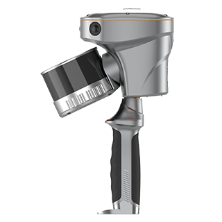
CHCNAV RS10
Handheld SLAM 3D Laser Scanner + GNSS RTK
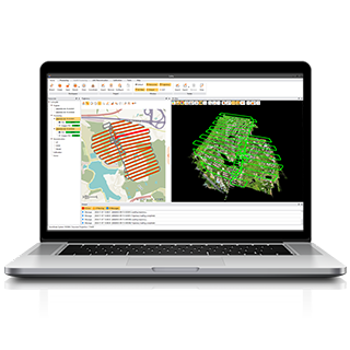
CHCNAV CoPre
LiDAR Processing Software







































.png)