
13 Nov 2026
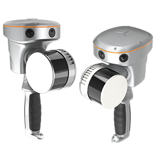
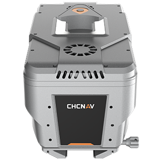
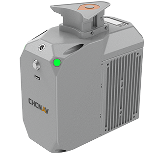
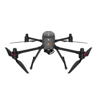
Renovating an older residential building starts with a survey of what is actually there. The design team needs accurate facade drawings, and the contractor needs the area of every wall, balcony and window surround to price the work. On a complex built in the 1990s, with mature trees, protruding balconies and pipes running across the walls, that is slow to produce. This article follows a facade survey by a CHC Navigation partner in Jiangxi, China, who combined drone oblique photography with the RS10 handheld SLAM laser scanner in the field and drew the facades in CoProcess, cutting the work for each building from three days to one and a half.
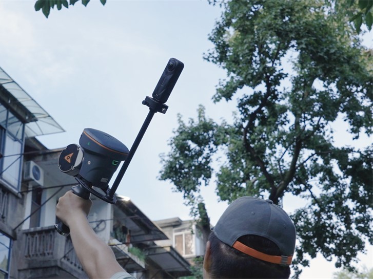
In the field, the combination covered the buildings from top to bottom. The drone survey captured the high floors and roofs, and the RS10 scanned the ground floors, entrances and the narrow spaces between buildings, so nothing that needed measuring was missed. The trouble started when the drawing began. With CAD alone, two problems held up the schedule:
The partner moved the drawing work into CoProcess to see whether accurate field data could also be drawn quickly and cleanly. The steps below, and the tips from the team, apply to most facade survey projects.
The first file to load is the drawing template, not the scan. The client usually supplies one, with the layer styles and legend the final drawings must follow. Here the team used the facade DWG from an earlier project. CoProcess reads DWG files of any version and loads their layers and legend automatically, so nothing had to be set up again by hand.
Tip: how efficiently an operator draws depends on knowing exactly which features must appear. Ask the client for the template and legend before starting.
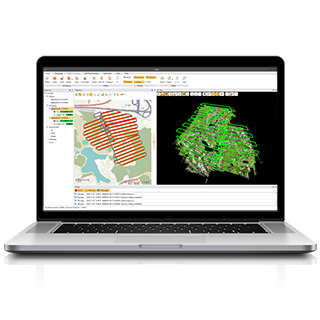
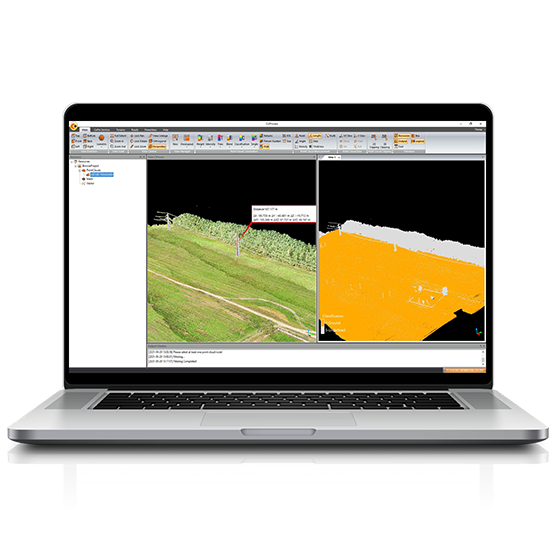
Fast loading and smooth display are what make long drawing sessions workable. The team imported 10 GB of point cloud and 1 GB of oblique model data, and the view stayed smooth on an ordinary workstation with an Intel i5 processor, 16 GB of memory and an NVIDIA GTX 1060 graphics card.
Tip: the point cloud and the model only overlay if they cover the same area in the same coordinate system. When processing the RS10 data in CoPre, use a projected coordinate system with the same settings as the drone model.
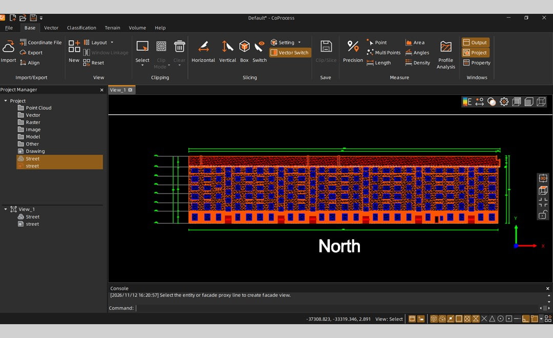
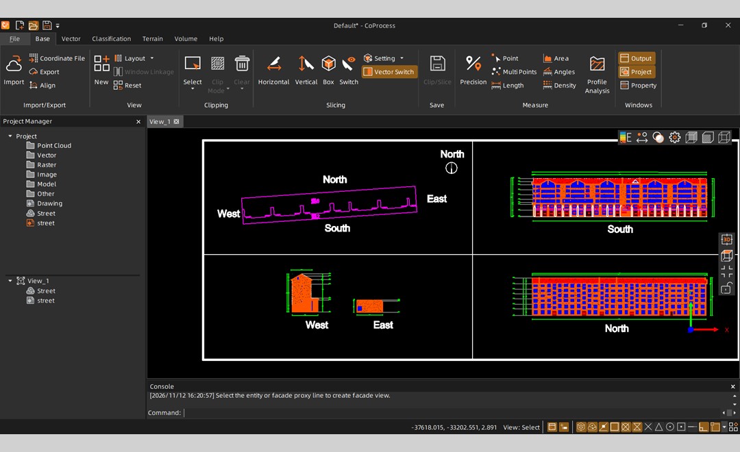
Create the facades from the plan outline. The operator draws only the outline of the building in plan, and CoProcess extracts each facade from it automatically. This avoids the errors of cutting sections by hand, and facades created from the same outline always have matching widths, which is one of the first things the client checks. A drawing with inconsistent widths comes back for correction.
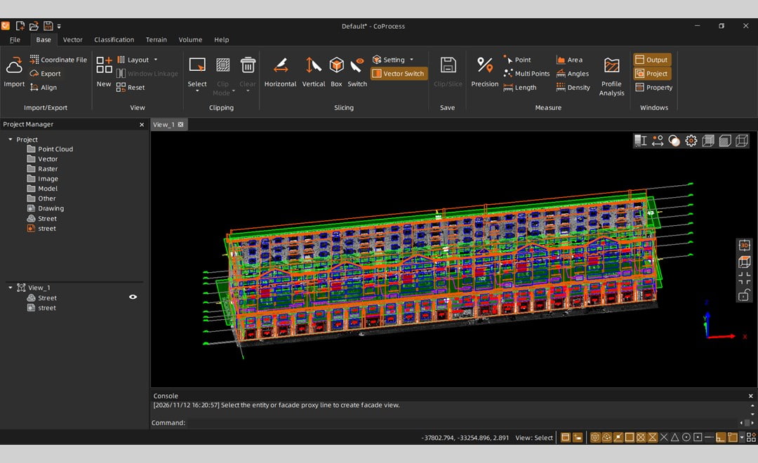
Trace the details in depth rendering. For window frames and other structures, the team switched the point cloud to depth rendering mode, which makes the edges of complex features easier to see. With the oblique model shown alongside, they could look and draw at the same time.
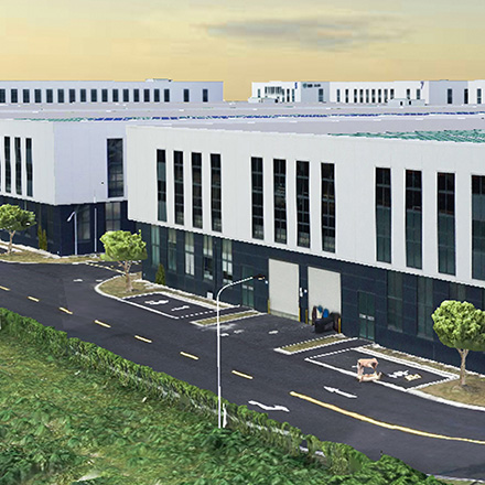
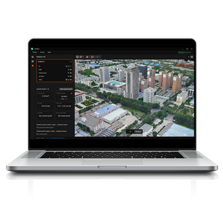
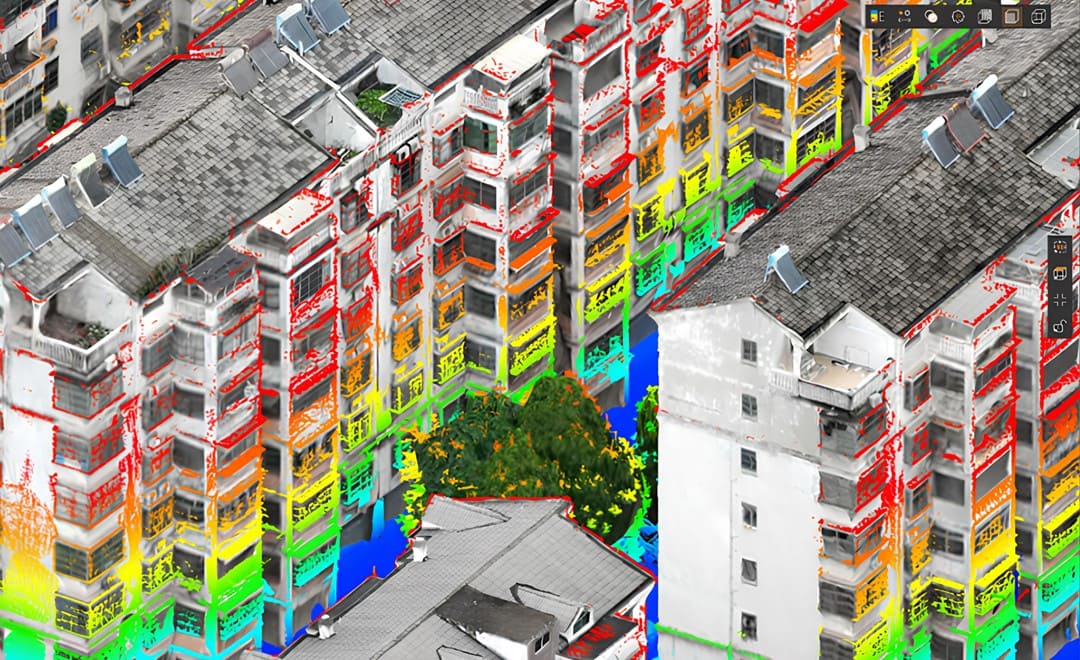
Use the drone model where the scanner cannot reach. Dense trees and projecting balconies meant the RS10 could not capture the upper floors of the taller buildings from the ground. For the roofs, terraces and top floors, the drone model became the reference. Instead of measuring in a model viewer and drawing in CAD, CoProcess overlays the point cloud and the model in one view, and the operator draws directly on both.
In buildings of this type, floors four to six usually repeat the layout of floors one to three, so repeated elements can be drawn once and copied or arrayed. Check against the model or site photos before doing so.
Tip: take photos on site. When the point cloud and the model cannot show a detail clearly, such as a decorative band or a window security grille, a photo settles it.
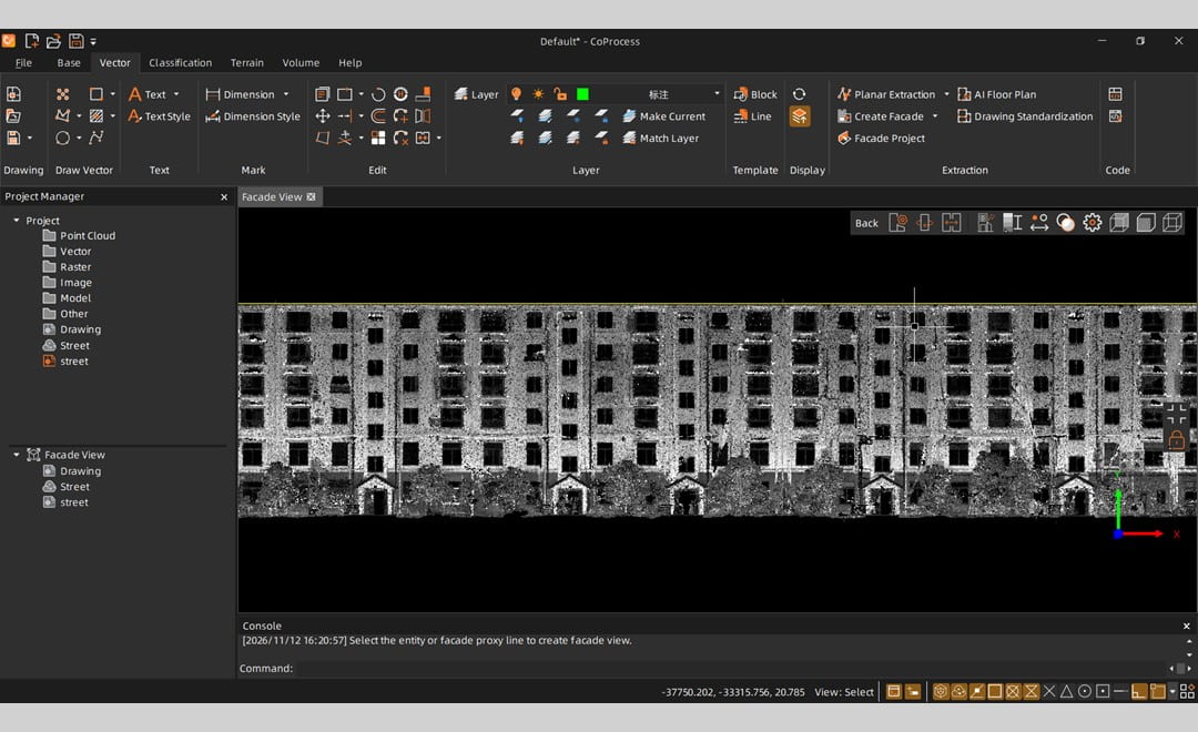
Lay the facades flat. Once the outlines are complete, the facade flattening function lays every facade of a building flat in one step, ready for fills, dimensions and annotations.
Blocks, fills, text and dimensions are all handled in CoProcess, so the finished facade elevation drawings are exported directly as CAD files. The areas are then calculated by fill type and entered in the area table the project requires.
Tip: the areas to count go well beyond the main walls. They include the sides and undersides of balconies, bay windows, sills and window frames, and the sides and undersides of columns, door canopies and decorative bands. Drawing each of these as an unfolded view at its real length and width, with the array and fill tools, makes the calculation faster.
| Before | With RS10, drone data and CoProcess | |
|---|---|---|
| Survey and area statistics per building, one operator | 3 days | 1.5 days |
| Aerial model in the drawing | Measured in a separate viewer, transferred by hand | Overlaid with the point cloud, drawn directly |
| Software open at once | Four CAD windows and a model viewer | One program |
| Facades | Sections cut by hand | Extracted from the plan outline, flattened in one step |
Because CoProcess follows the same drawing logic as mainstream CAD software, the operators needed only one to two days to get used to it. The partner now uses the RS10, drone survey and CoProcess as one workflow for renovation surveys of older residential areas, with richer deliverables and drawings that follow the same standard every time.
For more on choosing a scanner for this kind of work, see our guide on how to choose a 3D laser scanner. The RS10 also works where drones cannot fly, as in our topographic mapping project in a no-fly zone, and our 3D mobile mapping solutions cover the full range of airborne and ground-based systems.
CHC Navigation (CHCNAV) develops advanced mapping, navigation, and positioning solutions designed to increase productivity and efficiency. Serving industries such as geospatial, agriculture, machine control and autonomy, CHCNAV delivers innovative technologies that empower professionals and drive industry advancement. With a global presence spanning over 140 countries and a team of more than 2,200 professionals, CHC Navigation is recognized as a leader in the geospatial industry and beyond. For more information about CHC Navigation [300627.SZ], please visit: https://geospatial.chcnav.com/about/overview
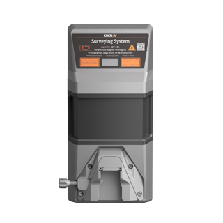
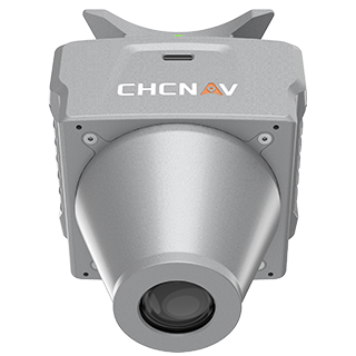
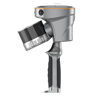
CHCNAV RS10
Handheld SLAM 3D Laser Scanner + GNSS RTK
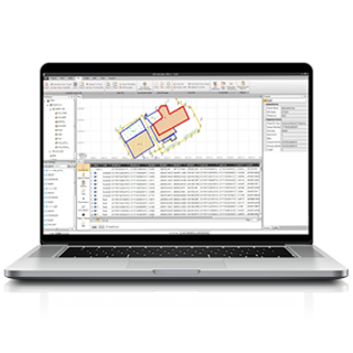
CHCNAV CoProcess
Point Cloud Processing Software for Scan-to-CAD and Terrain Modeling