
20 Nov 2026
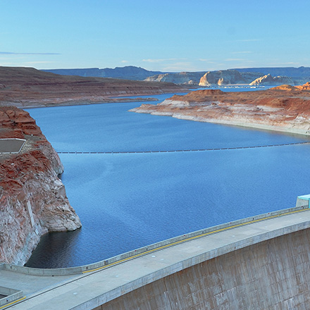
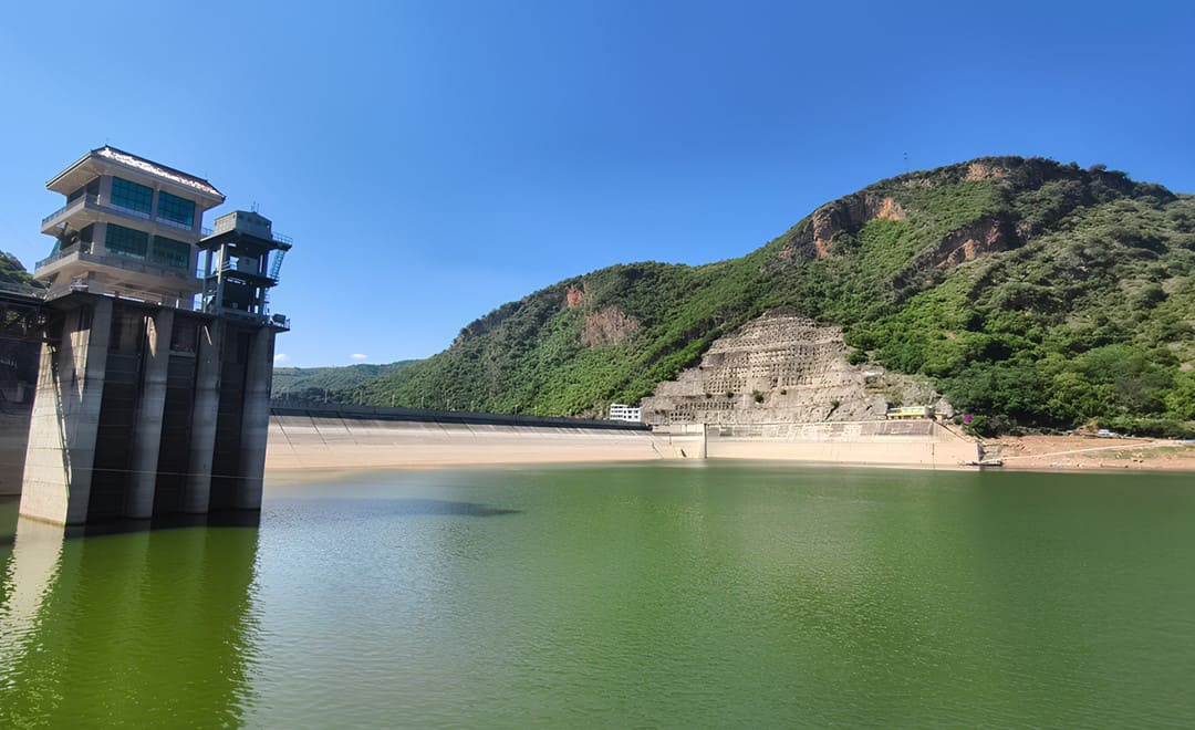
Above the water, a reservoir is easy to inspect: the dam, the gates and the intake towers are all in plain sight. Below the surface, the questions that matter most are harder to answer. Has the bed changed shape? How much sediment has settled since the last survey? Is the steep ground at the foot of the dam stable, and have the underwater parts of the structures changed? Storage capacity calculations, flood regulation and the safe operation of the reservoir all depend on those answers. At a reservoir in Yunnan, China, the management team turned to a multibeam bathymetric survey from an unmanned surface vessel to get them.
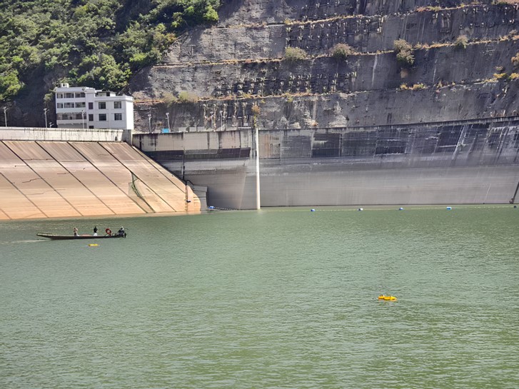
The reservoir is a key water source for its region. Gates, spillway structures and intake towers stand in the water, and the underwater shapes around them are complex, with sudden changes in the terrain.
Conventional depth surveys from a crewed boat struggled on two fronts. In the shallows and along the banks, the boat could not get in, so those areas went unmeasured. In the deep zone, where the water averages 60 m, a single beam echosounder could not capture the form of the structures. The data had gaps, and it was not detailed enough. Modern reservoir management needs complete, high resolution underwater terrain data with no blind spots, and the conventional method could not deliver it.
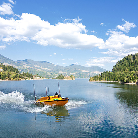
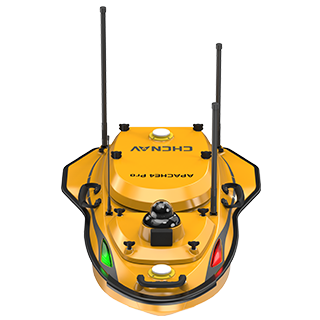
The team adopted CHC Navigation's integrated USV and multibeam solution. Two core instruments form a complete survey workflow.
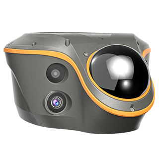
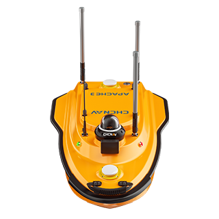
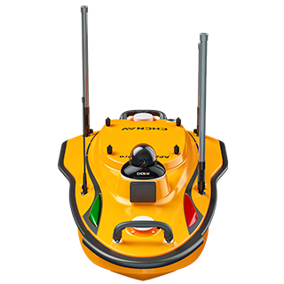
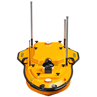
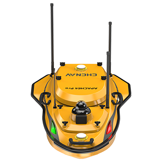
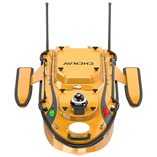
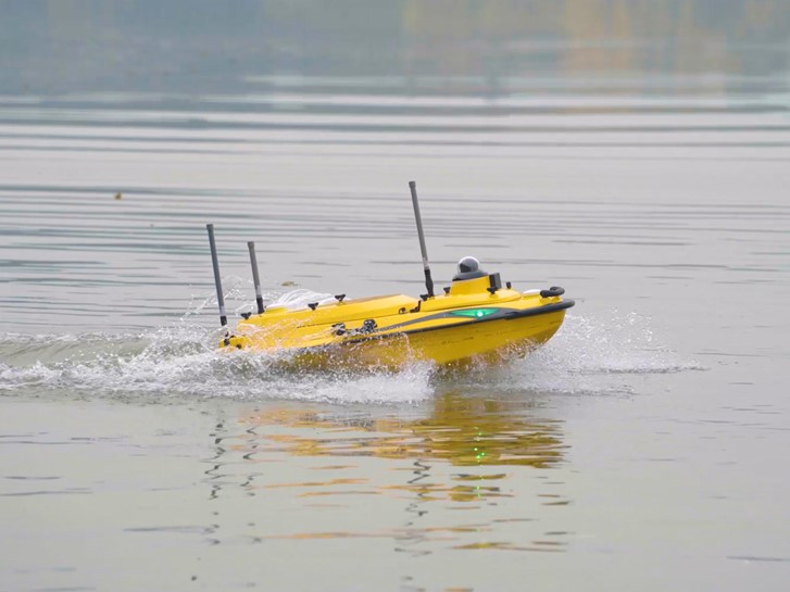
The Apache 4 Pro USV has a draft of 8.6 cm, so shallow shoals, banks and narrow channels are part of its normal working area rather than places to avoid. Its modular payload bay takes the multibeam system quickly, and it can also carry an optional automatic sound velocity profiler kit, controlled from the remote. No separate boat has to be hired to lower a profiler: the whole multibeam survey is done from one vessel.
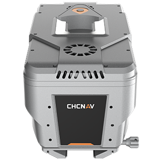
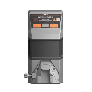
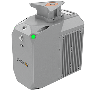
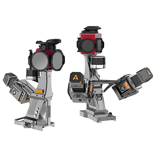
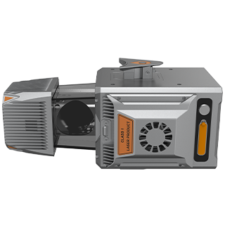
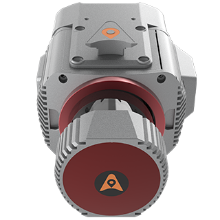
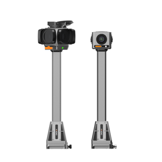
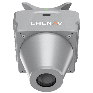
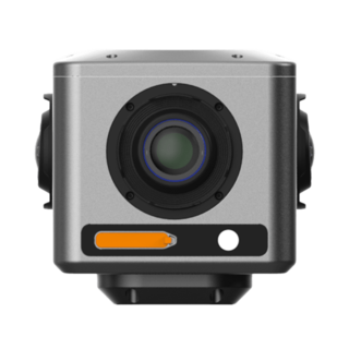
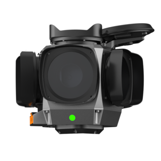
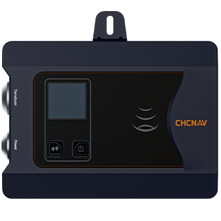
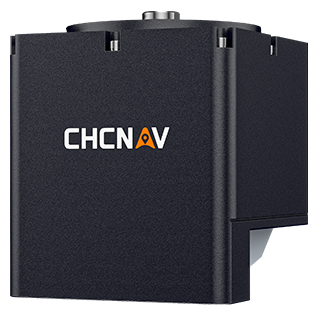
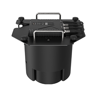
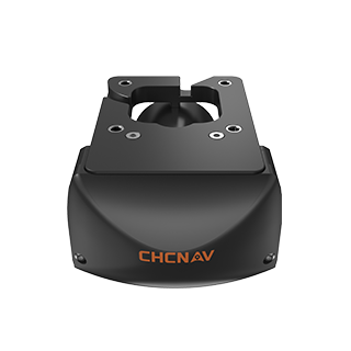
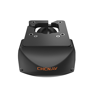
The HN-400M multibeam echosounder supports FM chirp, which gives the signal more penetration in deep water and keeps accuracy from falling off with depth in the way it does with a fixed frequency (CW) pulse. It switches between two frequencies, each suited to part of the reservoir:
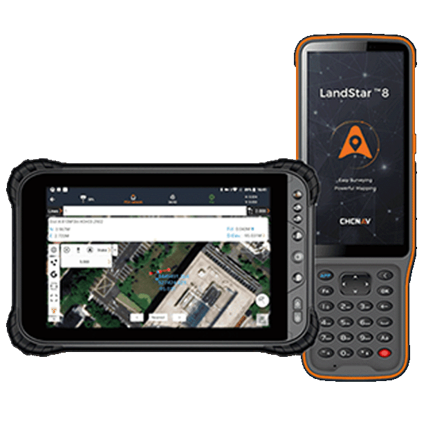
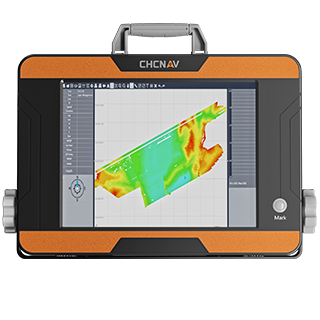
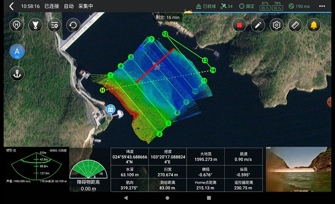
The surveyor runs the job from the EasySail app on an Android handheld controller. Survey lines are planned in advance, then one tap starts the vessel on its route with multibeam logging running. Logging pauses automatically at each turn, so the data set carries fewer redundant soundings. Vessel status, the depth profile and line progress are shown live, and all of the field work is done from a safe position on the bank.
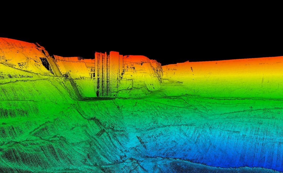
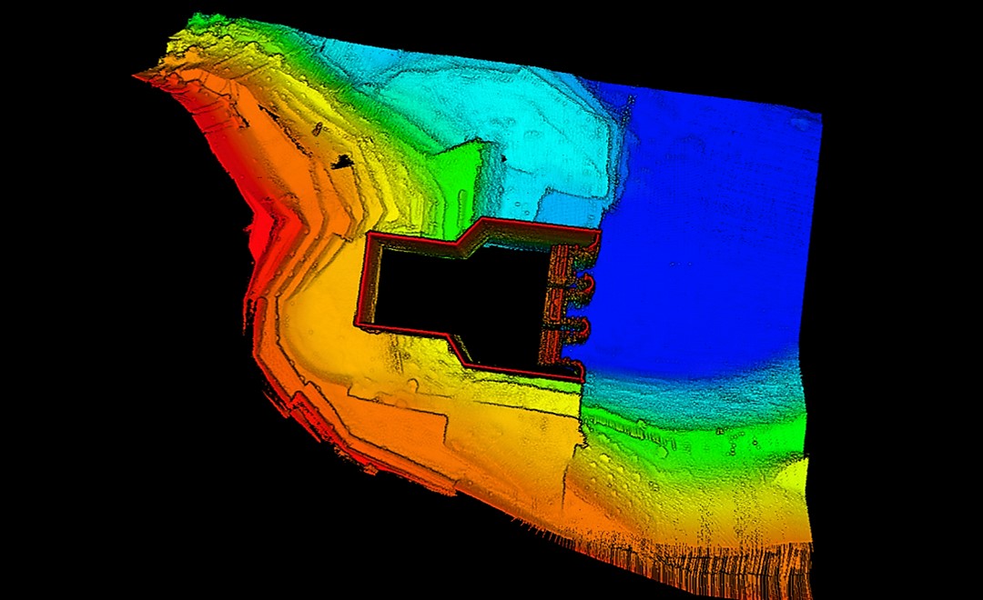
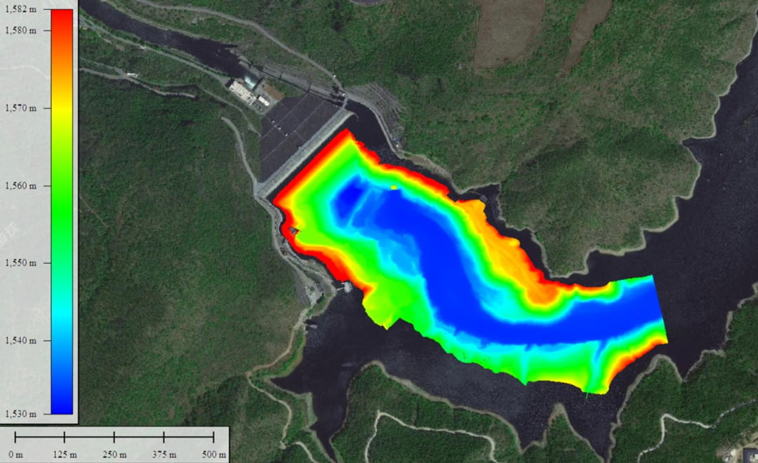
After processing, the dense point cloud shows the underwater terrain across the survey area, from the shallow banks to the deep channel, with every rise, slope and break in grade visible.
The key structures are captured in detail. The depth and extent of the scour pit in front of the dam and the distribution of sediment around the intake towers used to be gray areas, estimated from experience because nobody could see them. In the point cloud they can be seen and measured. The density of the data meets the accuracy requirements of 1:500 scale mapping, so it can feed straight into storage capacity curves and the calculation of sediment volumes.
Working together, the Apache 4 Pro and the HN-400M solved both halves of the problem: access in the shallows, and detail on the deep water structures. The point cloud is now the core data set for the reservoir's capacity calculations, for monitoring sediment trends and for assessing the safety of its structures.
| Question | Before | With the USV and multibeam survey |
|---|---|---|
| Shallow banks and narrow channels | Out of reach for a crewed boat | Surveyed by a vessel with an 8.6 cm draft |
| Deep water structures | Single beam data could not show their form | Intake towers, dam front and scarps captured in the point cloud |
| Sediment and scour | Estimated from experience | Measured, at 1:500 mapping accuracy |
| Sound velocity | A second boat to lower a profiler | Optional automatic profiler on the same vessel |
The value goes beyond a single survey. Repeated over time, the same method gives the reservoir a steady supply of measured, comparable spatial data for a digital twin, moving management from decisions based on experience to decisions based on data, and from periodic manual inspection toward continuous monitoring.
The same pairing of the Apache 4 Pro family and the HN-400M has also mapped China's Grand Canal and underwater bridge piers. Above the waterline, dam owners use GNSS for deformation monitoring of the dam itself. To compare single beam, multibeam and ADCP methods, see our hydrographic survey equipment guide, and for the full range of vessels and sensors, our marine surveying solutions.
CHC Navigation (CHCNAV) develops advanced mapping, navigation, and positioning solutions designed to increase productivity and efficiency. Serving industries such as geospatial, agriculture, machine control and autonomy, CHCNAV delivers innovative technologies that empower professionals and drive industry advancement. With a global presence spanning over 140 countries and a team of more than 2,200 professionals, CHC Navigation is recognized as a leader in the geospatial industry and beyond. For more information about CHC Navigation [Huace:300627.SZ], please visit: https://geospatial.chcnav.com/about/overview
CHCNAV APACHE 4 PRO
Hydrographic and Bathymetric Surveys USV
CHCNAV HN-400M
Multibeam Echosounder