17 Sept 2026
Urban construction is becoming increasingly complex. Buildings, roads, utilities, heavy machinery, pedestrians, traffic and existing infrastructure often share limited space. In that environment, knowing exactly where things are is not simply a matter of survey accuracy. It is part of construction safety.
A misplaced utility, an incorrectly staked structure, an inaccurate excavation boundary or a poorly positioned machine can create consequences that go well beyond rework and additional cost. This is where precise GNSS positioning can make a difference.
Construction teams depend on accurate coordinates for site layout, utility mapping, road construction, excavation, as-built surveys and machine guidance. When positioning information is inaccurate or inconsistent, small errors become larger problems:
Precise positioning does not eliminate construction hazards. What it does is reduce uncertainty about location, which is one of the fundamental elements of safe site operations.
Urban environments are difficult for GNSS. Buildings obstruct satellite signals, construction sites change from week to week, and survey teams often work where establishing and maintaining a local base station is inconvenient or simply not practical.
This is where GNSS correction services become important. Instead of relying only on raw satellite positioning, correction services provide the additional information needed to reach much higher real-time accuracy in the field.
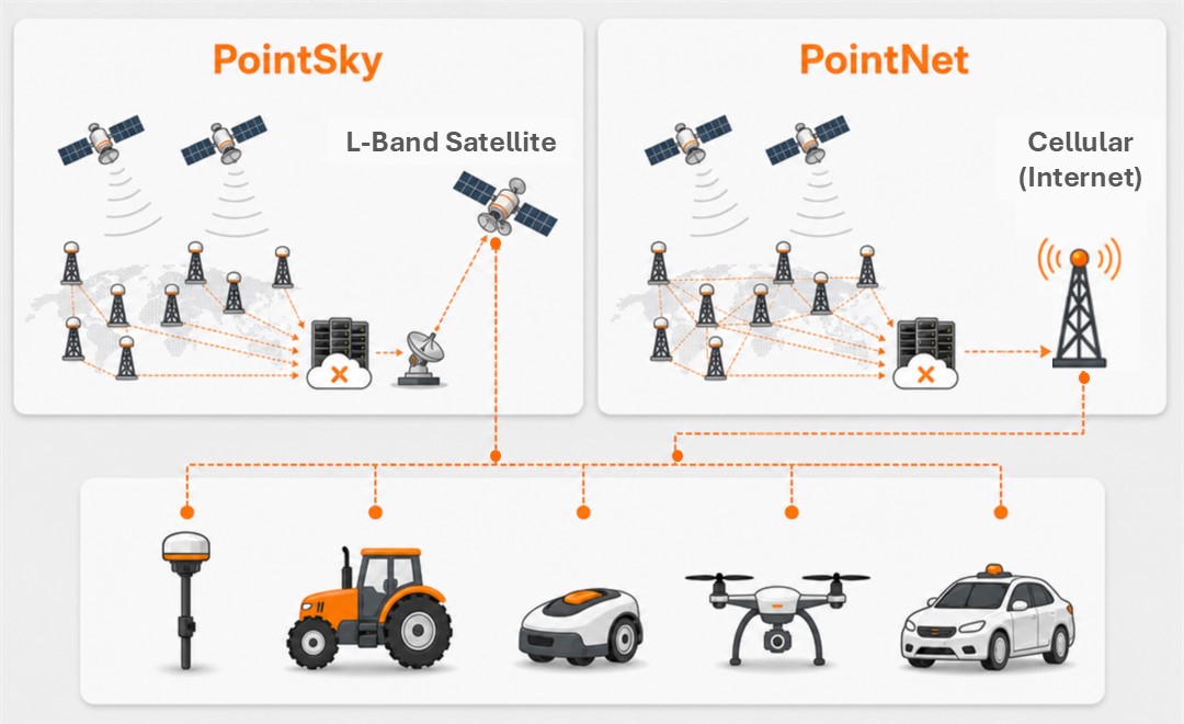
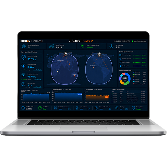
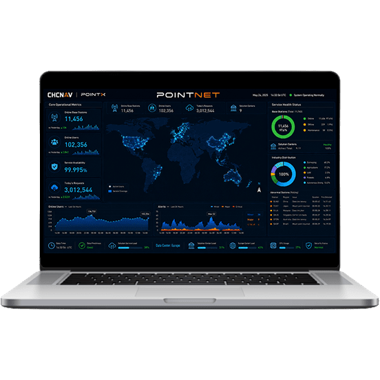
CHC Navigation's PointX combines two correction approaches: PointNet network RTK corrections delivered over the internet, and PointSky satellite-based corrections delivered over L-band. Together they allow compatible GNSS receivers to access high-precision corrections without the team operating its own local base station, subject to service coverage and signal conditions.
For construction teams the benefit is not simply more accurate coordinates. It is a more practical positioning workflow: reliable corrections lead to precise positioning, which leads to better field decisions, which leads to fewer positioning-related risks.
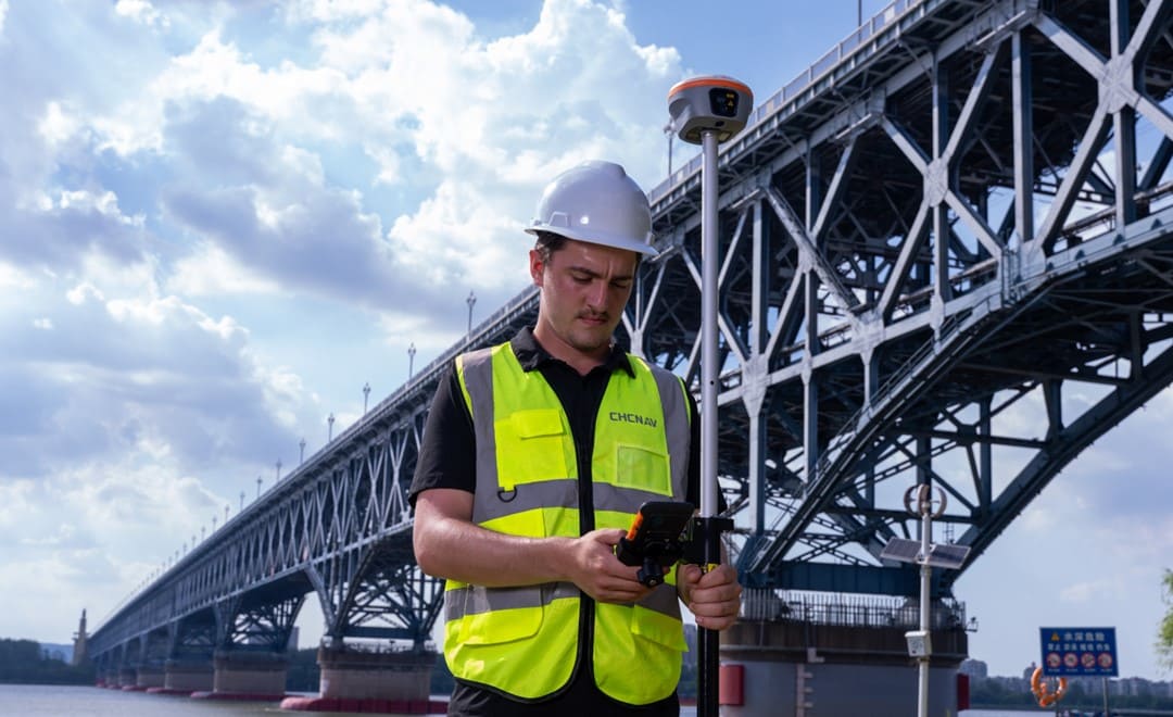
Foundations, road alignments, excavation limits, utilities and other construction elements have to be positioned according to the design. High-precision GNSS helps surveyors place those points accurately, which reduces the chance that a positioning error turns into a physical construction problem.
Urban construction usually takes place around existing roads, buildings, utilities and other assets. Accurate positioning helps survey teams build reliable spatial information about those features and establish where they sit relative to the new work. Better location data supports better planning and reduces uncertainty when crews work around infrastructure that is already there.
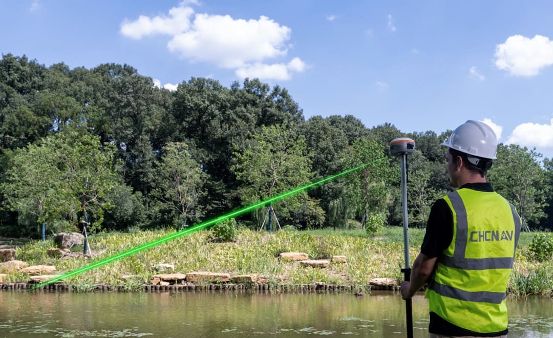
Not every point is safe or practical to reach directly. The CHCNAV i85 combines GNSS positioning with an IMU and a laser rangefinder, so surveyors can capture 3D coordinates of inaccessible points from a safer position. Its laser measuring range reaches up to 150 meters under favorable conditions, with typical field accuracy of about 2 cm at 5 m and 3 cm at 10 m.
That is useful for road edges, slopes, building features, utilities, embankments and other points where physical access is restricted by traffic, terrain, construction activity or other hazards.
Every extra minute spent walking through an active construction area is additional exposure to vehicles, machinery, excavations and uneven ground. A more efficient surveying workflow reduces unnecessary movement and repeated measurements. The tilt compensation and laser surveying on the i85 are designed to simplify field data collection, so surveyors can record points without always having to place the pole directly on the target.
Safety also depends on the quality of the information used to make decisions. Accurate coordinates support reliable topographic surveys, construction layout, as-built documentation, infrastructure mapping and machine-control workflows. PointX is positioned specifically for these construction and civil-works applications, alongside the wider surveying and engineering range.
Construction safety is usually discussed in terms of protective equipment, training, machinery, procedures and site management. There is another layer underneath all of those, and it is location awareness. Where is the excavation? Where is the utility? Where should the foundation be? Where is the machine? Where is the road alignment? Where is the surveyor standing relative to the hazard?
Precise positioning answers those questions with measurable coordinates rather than estimates. For modern urban construction, that level of location awareness helps teams work more accurately, reduce unnecessary exposure and make better-informed decisions.
GNSS positioning is often viewed mainly as a productivity or accuracy technology. In complex urban construction environments its role can extend further. By providing reliable, high-precision positioning, PointX can help construction and surveying teams reduce uncertainty about where work should happen and where assets are located. Combined with a capable receiver such as the i85, precise GNSS positioning can also help teams collect difficult measurements from safer positions and streamline field workflows.
Because on a construction site, knowing exactly where you are, and exactly where everything needs to be, is more than a question of precision. It is part of working safely.
CHC Navigation (CHCNAV) develops advanced mapping, navigation, and positioning solutions designed to increase productivity and efficiency. Serving industries such as geospatial, agriculture, machine control and autonomy, CHCNAV delivers innovative technologies that empower professionals and drive industry advancement. With a global presence spanning over 140 countries and a team of more than 2,200 professionals, CHC Navigation is recognized as a leader in the geospatial industry and beyond. For more information about CHC Navigation [300627.SZ], please visit: https://geospatial.chcnav.com/about/overview
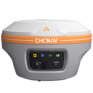
CHCNAV i85
Pocket-Sized Laser IMU-RTK GNSS Receiver
CHCNAV PointSky
Satellite-Based GNSS Correction Service
CHCNAV PointNet
GNSS NRTK Correction Service







































.png)