
22 Oct 2026
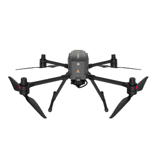
Mountain sites are among the most demanding places to run a topographic survey. Crews spend hours reaching each point on foot, vegetation hides the ground, and the weather can close a site for days. Aerial photogrammetry helps, but in steep, forested terrain a camera sees the treetops and not the ground beneath them. This article follows two projects in China, a topographic survey in Guizhou and a power line route survey on the Sichuan plateau, where the CHC Navigation X500 drone carried airborne LiDAR over terrain that ground crews and conventional drones struggle to cover.
Four problems come up on almost every mountain survey:
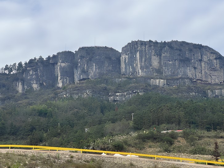
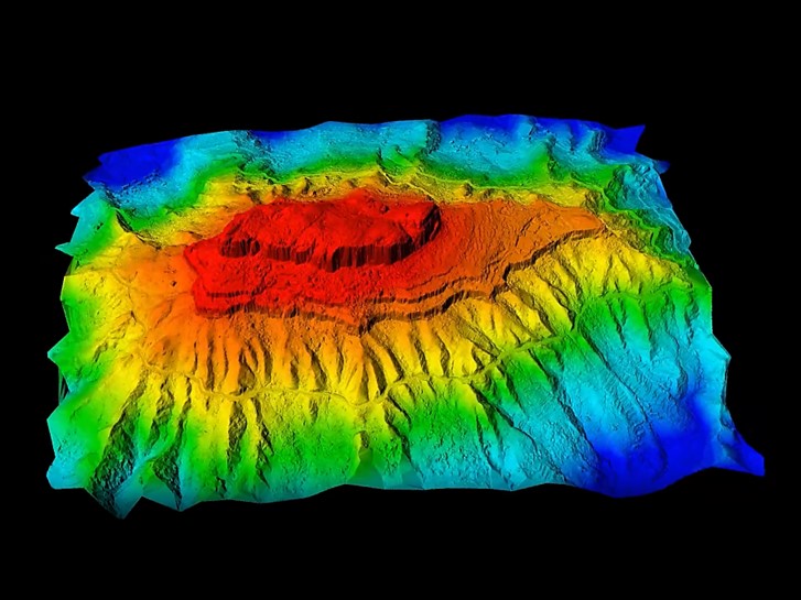
The first project covered about 1.7 square kilometers of mountain in Guizhou Province, with rivers, terraced fields and dense, mixed vegetation. The highest point is 1,200 meters and the elevation drop across the site is 324 meters. The operator needed a 3D model of the area to manage the terrain and a 1:500 topographic map for the design of a tourism development.
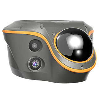
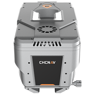
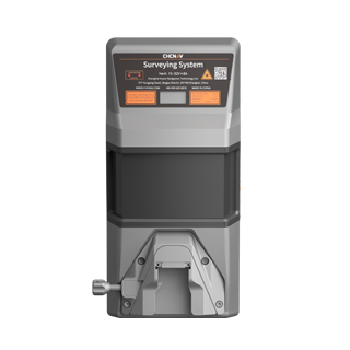
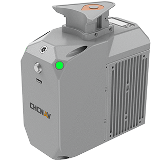
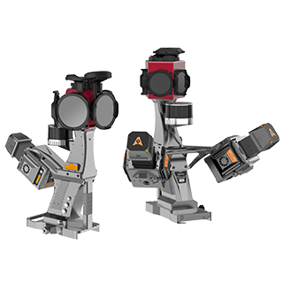
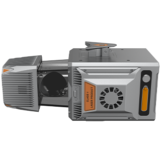
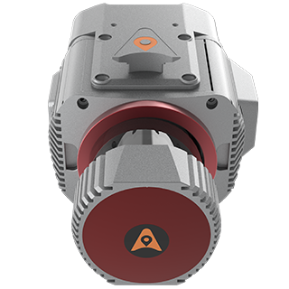
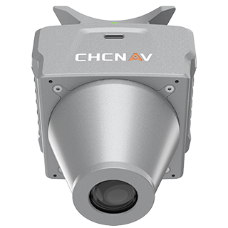
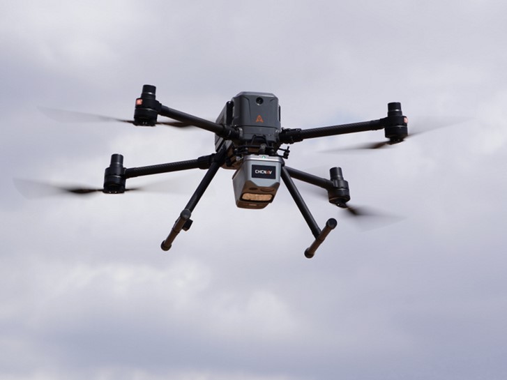
The team flew the X500 with the AlphaAir 10, a LiDAR and RGB system with an integrated 45 MP full-frame camera. The AlphaAir 10 returns up to 8 echoes per pulse, which lets the laser reach the ground through gaps in the canopy, and the X500 flies for up to 50 minutes with it on board.
The choice of takeoff site set the pace for the whole job. The team picked a flat spot halfway up the mountain. Because the positioning data was processed afterwards against cloud base station data (PPK), the drone did not need a continuous link to a base station on the ground, and a single takeoff point covered the entire area. Our guide to GNSS PPK and RTK for UAV mapping explains the difference between the two methods.
| Flight setting | Value in this project |
|---|---|
| Flight mode | Terrain following, 180 m above ground |
| Flight speed | 8 m/s |
| Point cloud overlap | 80% |
| Image overlap | 70% |
Terrain following keeps the drone at a constant height above the ground rather than above the takeoff point, so point density stays even from the valley floor to the ridge. In winds of force 4 and an average temperature of 10°C, the X500 captured the full 1.7 square kilometers in one flight of 43 minutes and landed with 16% battery remaining. Its obstacle detection picked up trees and a signal tower along the route, and the 20 km video link kept the pilot in contact with the aircraft throughout.
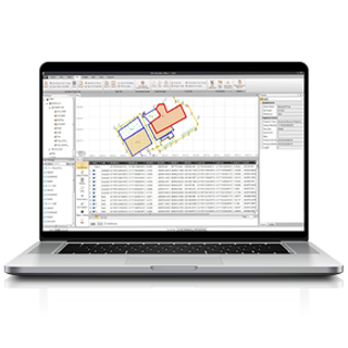
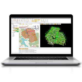
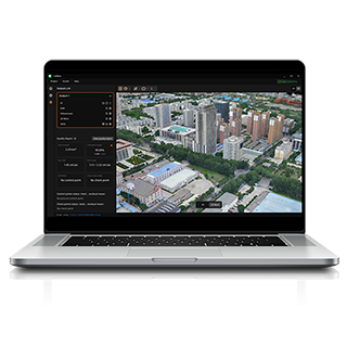
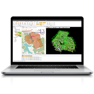
Processing ran in a single software chain. In CoPre, 12.2 GB of data was copied in five minutes and processed through a guided workflow that downloads the cloud base station data automatically.
| Processing step | Time |
|---|---|
| Aerial triangulation | 4 minutes |
| Orthophoto | 11 minutes |
| 3D model of the 1.7 km² site | 3 hours 30 minutes |
| DEM and contours in CoProcess | 20 minutes |
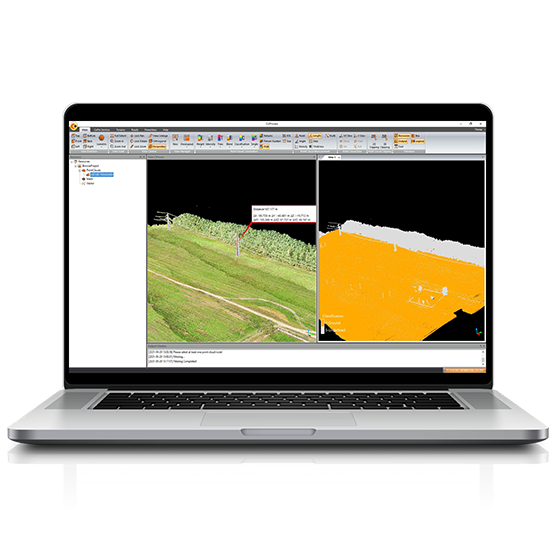
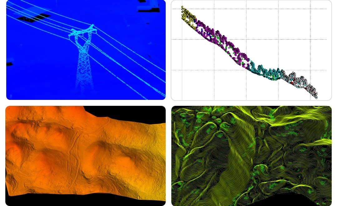
The colored point cloud, the true orthophoto and the 3D model were ready within half a day. CoProcess then filtered the point cloud down to the ground and built the DEM and contour lines, the parts of a topographic map that conventional aerial photogrammetry does not produce automatically. No ground control points were laid out. Six check points measured in the field gave a vertical accuracy (RMSE) of 1.8 cm, within the project standard.
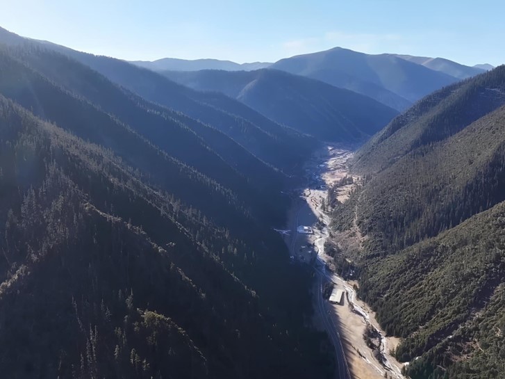
The second project shows the same workflow at a much larger scale and in harsher conditions. On the plateau in Ganzi, Sichuan, a 135 km, 220 kV transmission project needed a terrain survey for route design, along with an inspection of the existing towers and lines. The route crosses ridges, grassland, snow-covered peaks, rivers and gorges, from 2,985 m to 4,461 m above sea level. The elevation range reaches 1,476 m, the average altitude is above 4,000 m, and during the survey the average temperature was minus 10°C with frequent strong winds.
Three choices made the project workable:
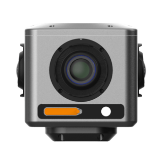
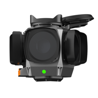
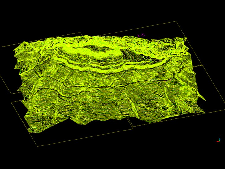
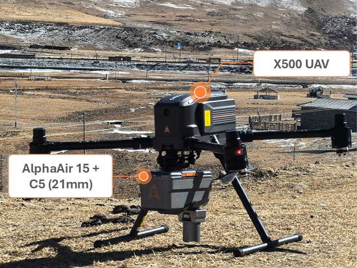
The X500 carried an airborne LiDAR system together with a C5 aerial camera and completed the data capture in 26 flights. In CoPre the team produced the orthophoto and a true-color point cloud. Cross sections through the densest vegetation in the gorges show a continuous, closely spaced ground surface, and ten check points gave a vertical accuracy of 2.5 cm. CoProcess then built the DEM and contours for route design. We covered the field results of this survey, including the efficiency gain over the drone the client used before, in our 2025 article on aerial mapping with UAV and LiDAR technology.
Different provinces, different altitudes and different end uses, but the same workflow held up in both:
| Deliverable | Typical use |
|---|---|
| Colored point cloud | Measurement, clearance checks, as-built records |
| True orthophoto (TDOM) | Base map for planning and land management |
| 3D model | Site overview for operators and designers |
| DEM | Earthwork, drainage and route design |
| Contour lines | 1:500 topographic maps |
Because all five come from one flight campaign, crews do not return to site for missing data, which is slow and costly in mountain terrain. Where flying is not allowed, a ground-based workflow can do the same job, as in our RS10 topographic mapping project in a no-fly zone. For the full range of airborne and ground-based systems, see our 3D mobile mapping solutions.
CHC Navigation (CHCNAV) develops advanced mapping, navigation, and positioning solutions designed to increase productivity and efficiency. Serving industries such as geospatial, agriculture, machine control and autonomy, CHCNAV delivers innovative technologies that empower professionals and drive industry advancement. With a global presence spanning over 140 countries and a team of more than 2,200 professionals, CHC Navigation is recognized as a leader in the geospatial industry and beyond. For more information about CHC Navigation [300627.SZ], please visit: https://geospatial.chcnav.com/about/overview
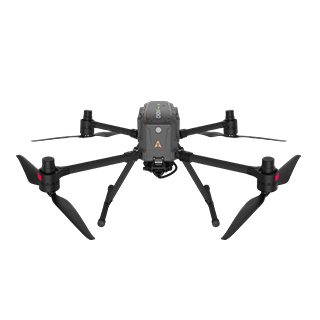
CHCNAV X500
Professional Multirotor Drone
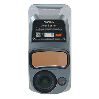
CHCNAV AlphaAir 10
Professional Airborne LiDAR+RGB System
CHCNAV CoProcess
Point Cloud Processing Software for Scan-to-CAD and Terrain Modeling
CHCNAV CoPre
LiDAR Processing Software