4 Sept 2026
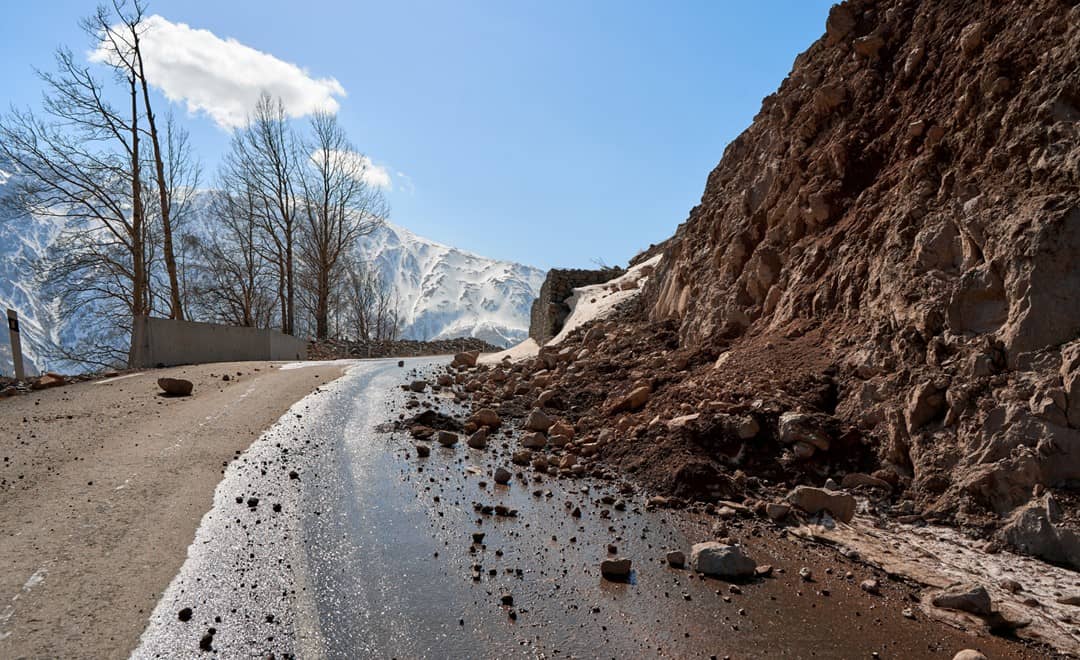
A landslide rarely happens without warning. Before a slope fails, the ground usually deforms, shifts, cracks or begins to accelerate. For people living or working below unstable slopes, near open-pit mines, around dams and reservoirs, or alongside roads and railways, recognizing those changes early can be the difference between a managed situation and an emergency.
The difficulty is that the movement is often too small to see, and conditions can change faster than an inspection schedule can follow. That is what continuous landslide monitoring is for. By combining high precision positioning, radar based monitoring, automated data collection and monitoring software, a monitoring system turns subtle ground movement into information someone can act on. Instead of asking only whether a slope is moving, the responsible team can ask how much, where, how fast, whether the behavior is changing, when an alert should be raised, and what should happen when it is.
Landslides are driven by many factors at once: geology, rainfall, erosion, excavation, groundwater and changes in the surrounding environment. A slope that looks stable today can behave differently after a week of rain or after work begins nearby.
That is why periodic inspection alone is not enough in high risk environments. A measurement taken once a week, or even once a day, says nothing about what happened between the readings. Continuous slope monitoring adds an ongoing view of how the ground and the structures on it are behaving. The objective is not more data. It is identifying meaningful change early enough for the people responsible to assess it and act.
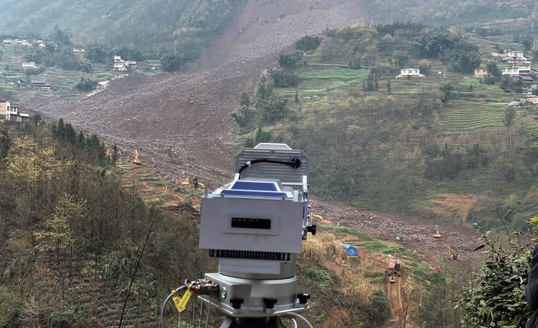
The hardest part of landslide detection is seeing movement before it becomes obvious. High precision GNSS sensors measure displacement continuously at selected monitoring points, which makes it possible to track position over time and pick out the trend rather than the individual reading. Across a wider area, ground based SAR and multi-point deformation monitoring show where a surface is moving and by how much.
Together the two answer complementary questions:
Our monitoring portfolio combines high precision GNSS sensors, multi-point deformation monitoring systems, monitoring software and automated data acquisition for slope stability monitoring, landslide prevention, mining, dams and other critical infrastructure.
No single sensor covers every monitoring environment. GNSS gives precise movement at specific points. Ground based radar observes deformation across a whole slope face. Data loggers collect readings from field instruments, and software brings everything together for analysis. Layering them is what turns instrumentation into an early warning system.
GNSS sensors track the three-dimensional position of critical points continuously and identify changes in displacement.
Ground based SAR and multi-point deformation monitoring reveal the spatial pattern of movement across a slope, including the parts nobody instrumented.
Automated acquisition systems collect readings from different sensors and deliver them to the monitoring platform without anyone visiting the site.
Monitoring software turns raw measurements into trends, dashboards, alarms and early warning information, so the responsible team can judge when to investigate further or act.
The result is not a collection of sensors. It is a workflow that runs from measurement to analysis to warning to response.
A warning is only worth having if it leads to a decision. A landslide monitoring strategy therefore needs thresholds and response procedures agreed in advance, based on displacement, rate of deformation or a change in observed behavior. A simplified escalation framework might follow this sequence: Normal → Attention → Warning → Emergency Response.
Each stage carries predefined actions: closer inspection, restricted access to part of the site, work stopped, a road closed, or an evacuation under the responsible authority's emergency plan. The monitoring system supplies the evidence and the people responsible for safety make the call. That distinction matters, because the technology supports emergency management rather than replacing engineering judgment, geological assessment or established procedure.
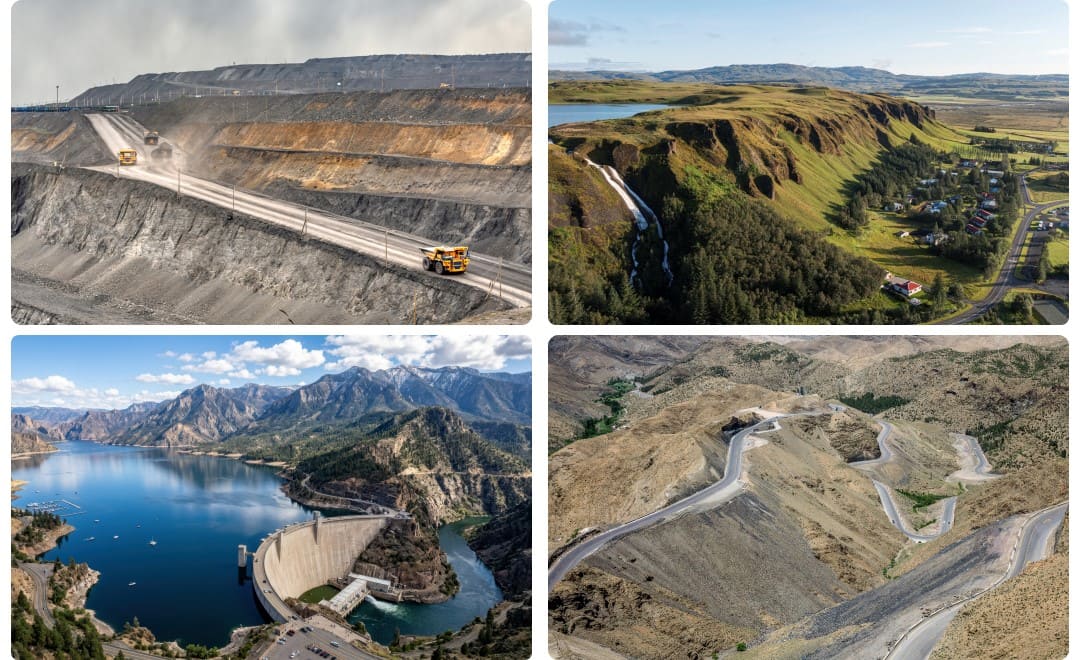
Mine slopes cover large areas, and movement threatens workers, equipment and production at the same time. Real time GNSS and radar monitoring give mine teams a continuous picture of slope deformation and of any change in it.
Homes, schools and public roads often sit under naturally unstable terrain. Continuous monitoring gives authorities current information about whether conditions are changing and whether further precautions are needed.
Instability around a dam has consequences well beyond the immediate area. GNSS and ground based SAR track deformation over the long term and support structural and environmental monitoring of the asset itself.
Routes crossing mountainous or landslide-prone terrain are exposed along their whole length. Monitoring identifies deformation affecting a slope or a structure before it becomes a visible failure or a closure.
The most important output of a monitoring system is not a graph. It is time: time for an engineer to investigate, for an operator to stop work, for access to be restricted, for a road to be closed, for equipment to be moved, for emergency services to respond, and in the most serious cases, time for people to get clear.
That is the reason early warning monitoring belongs inside a risk management strategy rather than sitting on its own as an instrumentation project. Landslide risk cannot always be eliminated, but it can be understood, watched and managed.
An effective strategy starts with the site rather than the sensor list. Which areas are potentially unstable? Where are the people and the critical assets? What kind of movement is expected, and what conditions could trigger it? How often should measurements be taken, who receives the alerts, and what happens next? Once those answers exist, the monitoring architecture can be built around the site's actual risk profile.
What that chain does is connect what is happening on the slope with what the people responsible for it need to know, at the moment they need to know it.
The future of landslide safety is not about installing more sensors. It is about monitoring systems that report reliably and continuously, identify the changes that matter, and connect those changes to procedures that have already been agreed. For organizations responsible for mines, dams, transport infrastructure and communities in landslide-prone terrain, the question is no longer whether monitoring is needed, but how to design it so the right information arrives at the right time.
Our integrated monitoring solutions bring together GNSS positioning, multi-point deformation monitoring, ground based radar, automated data acquisition and software for real time deformation monitoring and early warning across high risk environments. A landslide may begin with movement too small to see, but that movement can be measured, and measurement is what buys the time to act.
CHC Navigation (CHCNAV) develops advanced mapping, navigation, and positioning solutions designed to increase productivity and efficiency. Serving industries such as geospatial, agriculture, machine control and autonomy, CHCNAV delivers innovative technologies that empower professionals and drive industry advancement. With a global presence spanning over 140 countries and a team of more than 2,200 professionals, CHC Navigation is recognized as a leader in the geospatial industry and beyond. For more information about CHC Navigation [300627.SZ], please visit: https://geospatial.chcnav.com/about/overview
Have a question about our deformation monitoring solutions?







































.png)