18 Aug 2026
Inland shipping channels are the highways of the waterway network, and their safety depends on knowing the shape of the bed. Periodic siltation, scour and the risk of geological hazards keep changing that shape, so channels need to be surveyed often, completely and at speed. On a tributary of the Yangtze River, a survey team mapped a channel section with the CHC Navigation Apache 4 unmanned surface vessel carrying the HQ-400 compact multibeam. The team covered 0.7 km² of underwater terrain in three hours, around three times faster than a crewed survey vessel, and produced contour maps, an underwater point cloud and a digital elevation model of the bed. This is how the survey came together.
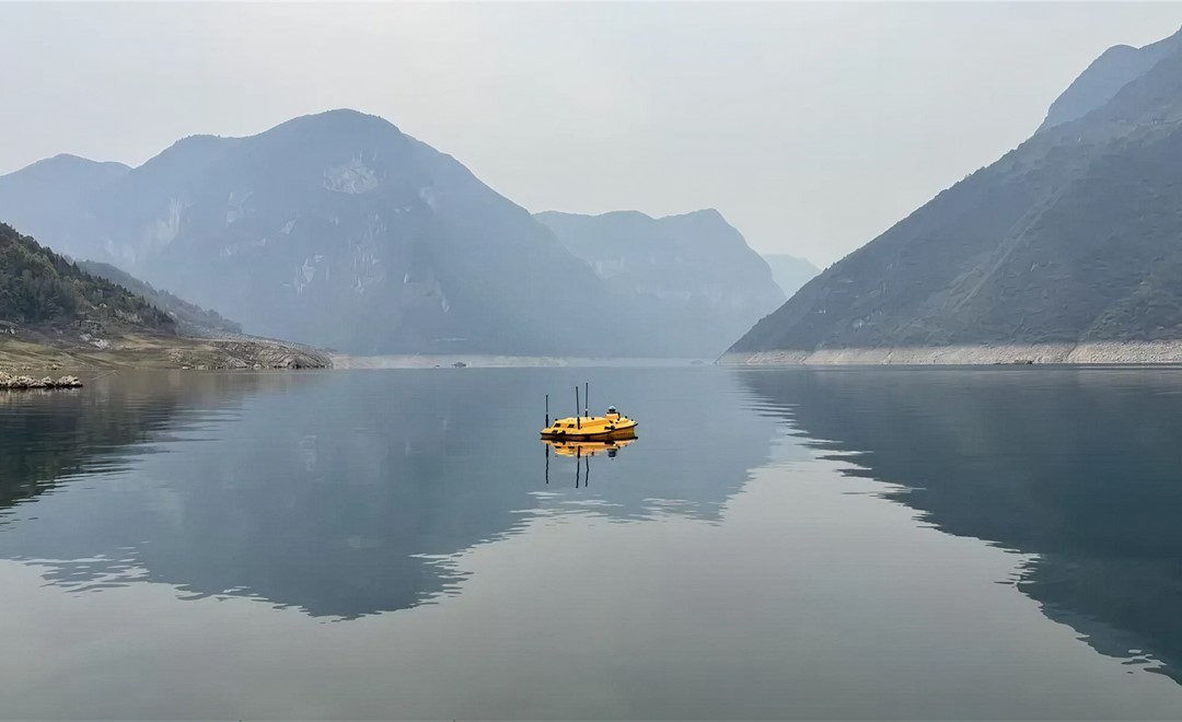
The survey area was a channel section on a tributary of the Yangtze River. The brief was to record the shape of the bed near the banks, capture the distribution of siltation and the trend of scour, and provide data to support dredging planning, targeted bank-protection repair, and the long-term management of the channel. An accurate, full-coverage record of the bed was needed to judge how the channel was changing over time.
Mapping a channel like this from a crewed vessel with a traditional multibeam setup raises several problems:
What the team needed was a lightweight, easy-to-deploy platform that could give full coverage at high efficiency and still hold accuracy where the network signal dropped out.
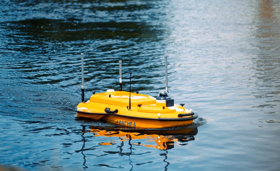
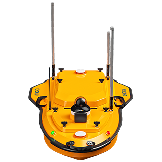
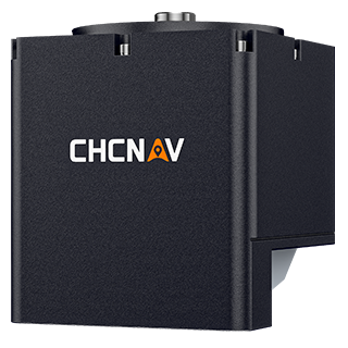
The team paired the Apache 4, a compact and highly maneuverable unmanned surface vessel, with the HQ-400, a lightweight integrated multibeam echosounder. The shallow-draft platform can work close to the banks and launch without a dedicated dock, and the compact sensor is quick to deploy on the USV. According to the project, the system used a 0.3 m ultra-shallow-draft design, and the HQ-400 provided up to 150 m depth measurement and a 120° scanning swath, capturing centimeter-level detail across the 1 to 100 m depth range in the survey area.
Where the survey area had incomplete network coverage, the team used the HQ-400 PPK post-processed differential workflow to hold data accuracy, so the system kept working steadily even in river valleys with no live signal.
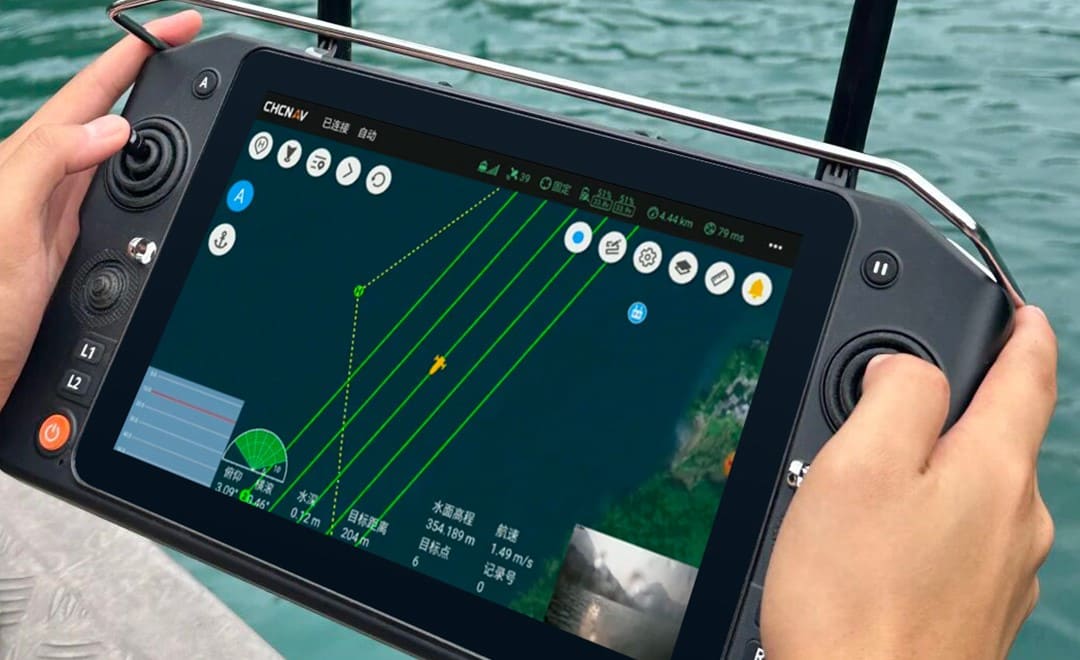
Before the survey, the Android EasySail software generated the survey lines directly from a .dxf file, with one-tap adjustment of heading and line spacing. That kept the swath overlap above 20 percent, which improves data quality while removing much of the manual work of laying out lines by hand.
During the survey, the multibeam display and control software adjusted its own control parameters as the survey area changed, including the swath open angle, the shallow and deep depth thresholds, and the ping rate, so the operator did not have to monitor and tune the system by hand. The Apache 4 ran the planned lines while the HQ-400 recorded a continuous swath of soundings across the bed.
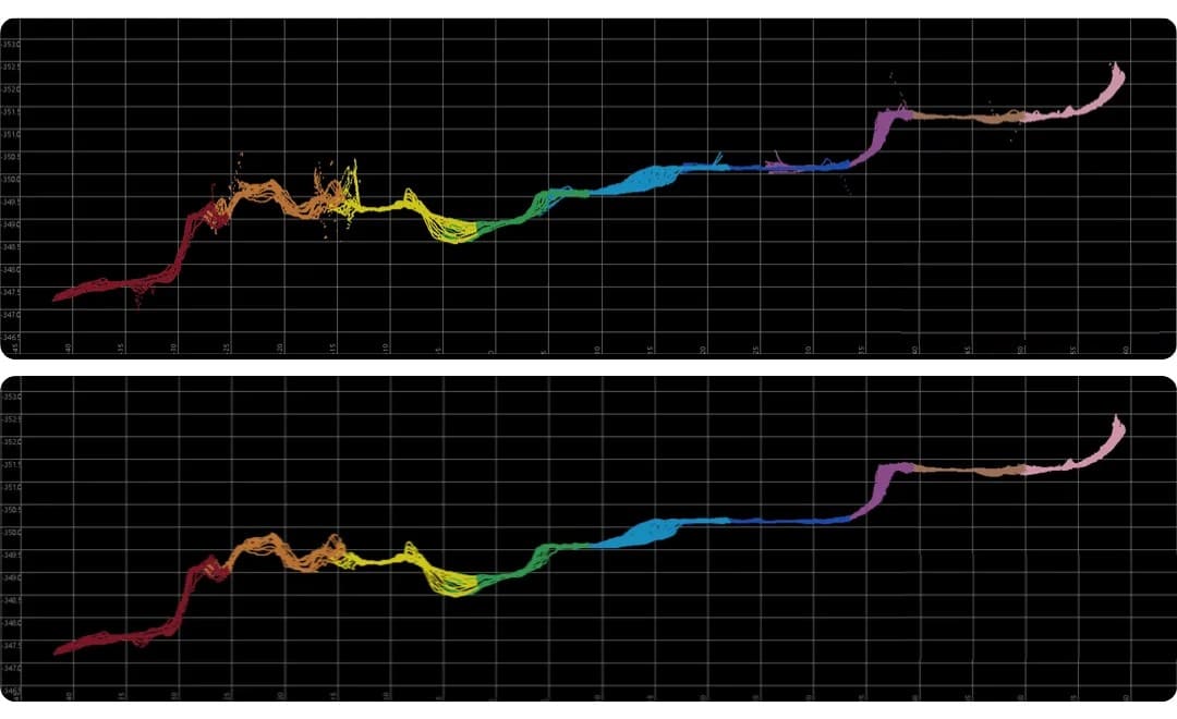
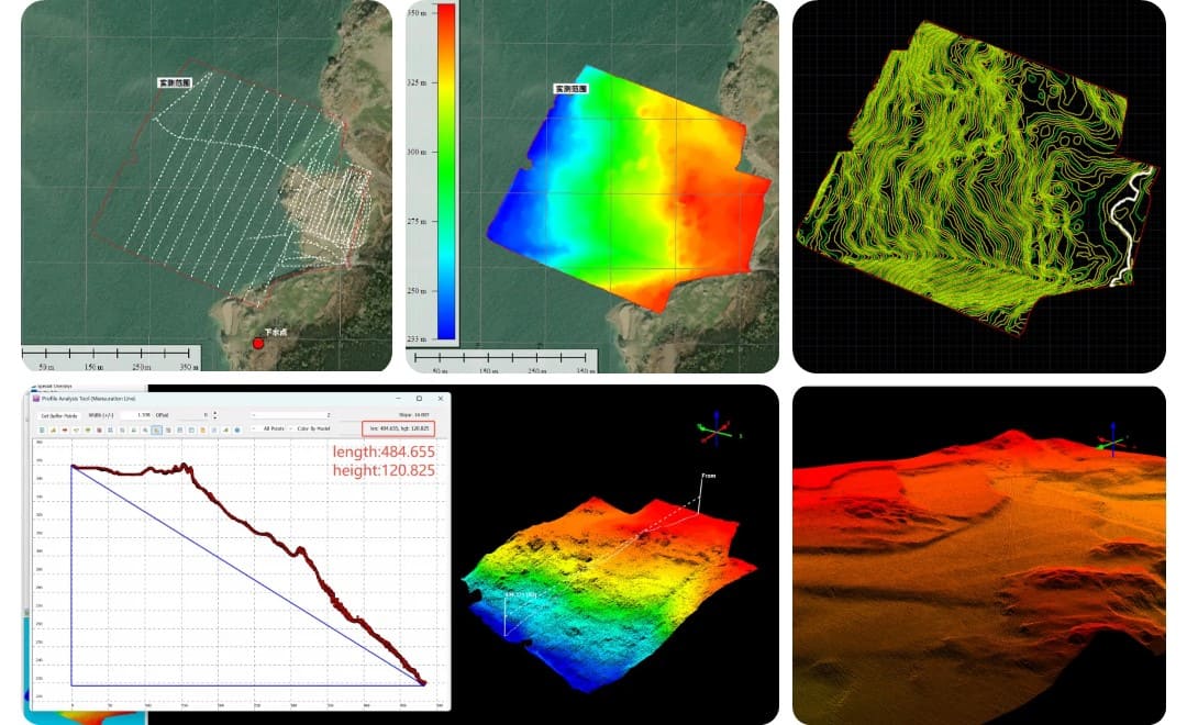
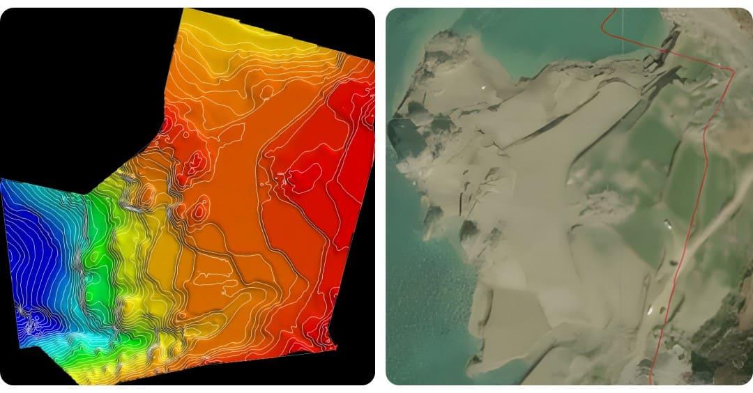
After acquisition, the team processed the data in CHC Navigation's CMS multibeam software, using automatic filtering to remove acoustic noise in a single step, which cut down the office processing work. The survey then delivered several results for the channel:
The point cloud covered a large area, close to 500 m wide with a depth range near 120 m, and still resolved detail at 0.5 m, so shallow features stayed complete and clear. When the water level rose during the survey and flooded part of the near-shore area, the digital elevation model matched the satellite imagery of the same ground closely. On the accuracy side, 99.96 percent of the depth points met IHO survey standards, and the overall approach ran around three times faster than a crewed survey vessel.
The same approach carries across to other inland and near-shore work. It suits channel and waterway maintenance and dredging surveys, near-shore and shallow-water bathymetry where a crewed boat cannot work efficiently, and the regular monitoring of rivers and reservoirs where the bed keeps changing and full coverage matters.
| Survey need | Crewed vessel with traditional multibeam | Apache 4 USV with HQ-400 |
|---|---|---|
| Cost and deployment | Higher cost, complex installation | Lightweight, quick to deploy, launched from the bank |
| Shallows near the banks | Hard to capture data in the shallows | Shallow-draft platform works close to the banks |
| Coverage and speed | Lower throughput | Full-coverage swath, around three times faster |
| No network coverage | Relies on a live correction signal | PPK post-processed differential holds accuracy offline |
| Office processing | More manual noise cleanup | Automatic filtering removes acoustic noise in one step |
For teams planning inland and near-shore bathymetric surveys, the wider range of marine surveying solutions covers USV platforms and multibeam payloads for hydrographic and bathymetric work.
CHC Navigation (CHCNAV) develops advanced mapping, navigation, and positioning solutions designed to increase productivity and efficiency. Serving industries such as geospatial, agriculture, machine control, and autonomy, CHCNAV delivers innovative technologies that empower professionals and drive industry advancement. With a global presence spanning over 140 countries and a team of more than 2,200 professionals, CHC Navigation is recognized as a leader in the geospatial industry and beyond. For more information about CHC Navigation [300627.SZ], please visit: https://geospatial.chcnav.com/about/overview
CHCNAV APACHE 4
Hydrographic and Bathymetric Surveys USV
CHCNAV HQ-400
Lightweight Integrated Multibeam Echo Sounder







































.png)