
6 Nov 2026
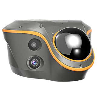
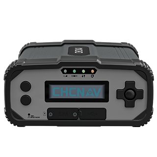
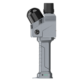
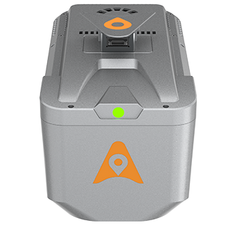
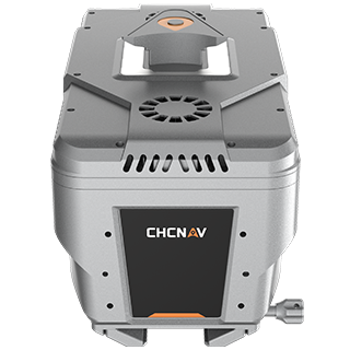
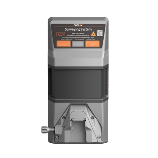
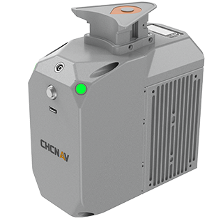
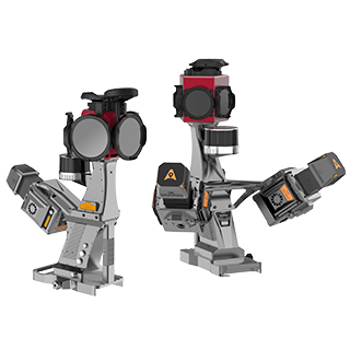
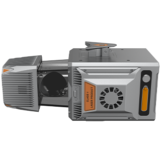
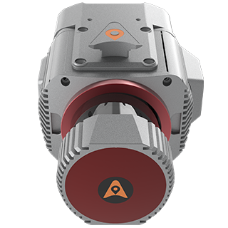
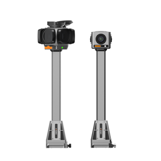
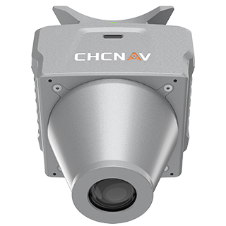
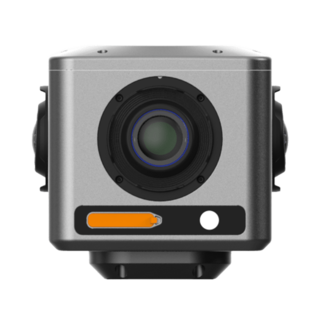
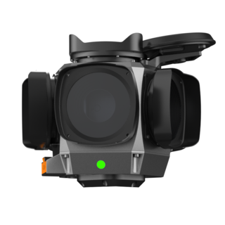
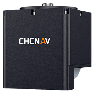
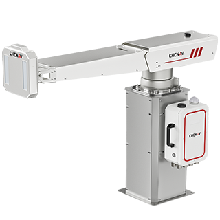
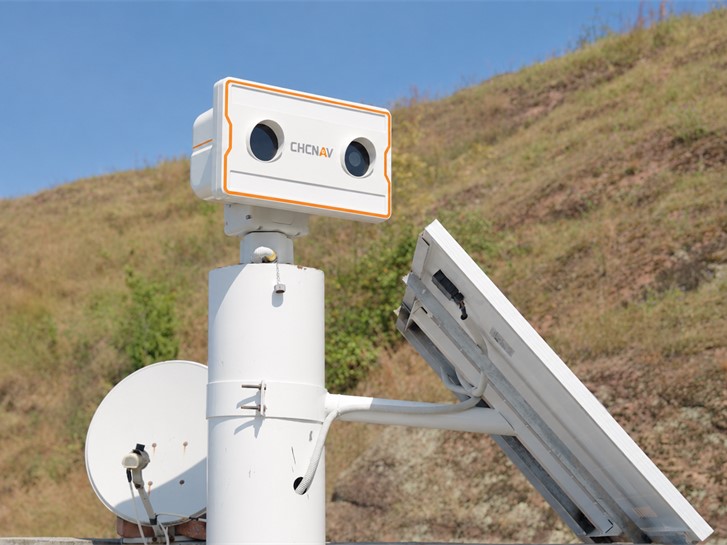
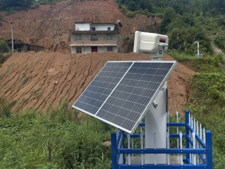
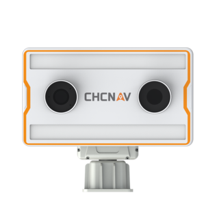
Shanghai, China, November 6, 2026. CHC Navigation (CHCNAV), a global provider of geospatial solutions, announced the launch of the CHCNAV Z8 Vision-Fused Multi-Point Deformation Monitoring System. Combining synthetic aperture radar, visual imaging, and edge computing, the Z8 provides noncontact displacement measurement and visual verification for slope stability monitoring at distances of up to 800 m.
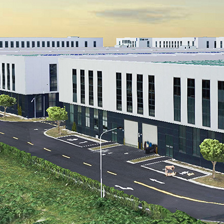
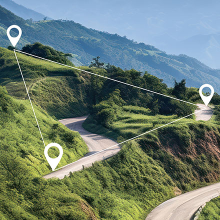
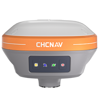
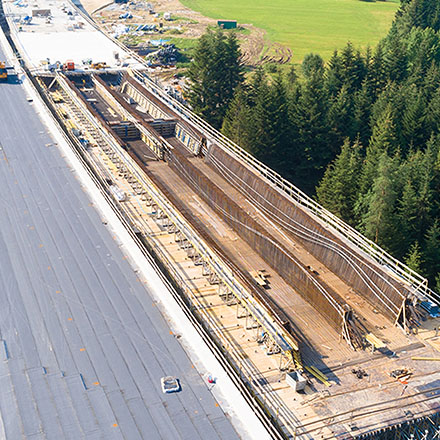
Developed for tailings dam slopes, highway slopes, reservoir dams, and geohazard monitoring, the Z8 enables wide-area observation of surface deformation. It complements point-based monitoring technologies such as GNSS by measuring displacement across monitored slope areas, helping teams identify developing ground movement beyond individual sensor locations.
Using synthetic aperture radar interferometry, the Z8 detects surface displacement by analyzing phase changes between radar measurements. Under suitable observation conditions, it achieves submillimeter-level measurement accuracy along the radar line of sight, supporting the detection of small movements across monitored slopes. With 360° horizontal adjustment, the system can be oriented toward different monitoring areas. Automated analysis also identifies deformation outside predefined observation zones, helping monitoring teams detect emerging movement across the observed surface.
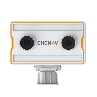
An integrated camera provides visual context for radar-based deformation monitoring, supporting scheduled inspections and automatic image capture when anomalies are detected. By linking displacement measurements with panoramic imagery, operators can locate monitoring events and review site conditions without requiring immediate field inspection. AI-assisted analysis also identifies potential interference sources, including vegetation and trees, helping monitoring teams interpret displacement data and reduce false alarms.
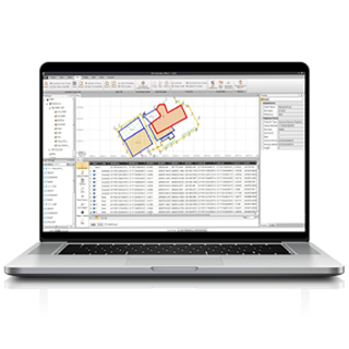
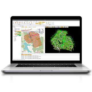
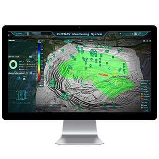
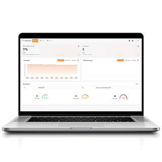
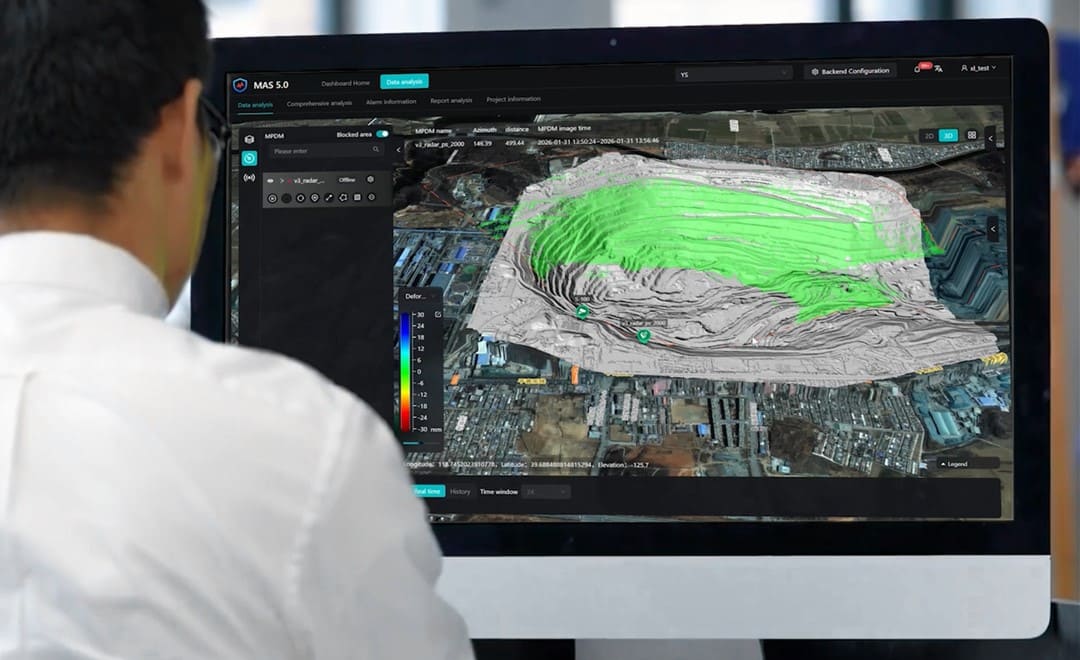
The Z8 uses edge computing to adjust data acquisition and upload intervals as monitoring conditions change. When deformation is detected, the system increases measurement frequency, with a minimum sampling interval of one minute or less, supporting closer observation of developing slope movement. Integrated with CHCNAV MAS monitoring software, the Z8 provides radar data processing, deformation visualization, reporting, and automated alarm management. A configurable four-level alarm system, together with SMS and email notifications, helps monitoring teams respond to detected changes and review the associated measurements.
Active microwave radar technology supports continuous displacement monitoring in challenging weather conditions, including rain, snow, and fog. An IP66-rated enclosure and an operating temperature range from -40°C to +65°C enable deployment in demanding outdoor environments. For nighttime inspections, an integrated laser fill light supports image capture in low-light conditions, extending visual verification capabilities beyond daylight operations.
CHC Navigation (CHCNAV) develops advanced mapping, navigation, and positioning solutions designed to increase productivity and efficiency. Serving industries such as geospatial, agriculture, machine control, and autonomy, CHCNAV delivers innovative technologies that empower professionals and drive industry advancement. With a global presence spanning over 140 countries and a team of more than 2,200 professionals, CHC Navigation is recognized as a leader in the geospatial industry and beyond. For more information about CHC Navigation [300627.SZ], please visit: https://www.chcnav.com/about/overview
CHCNAV Z8
Vision-Fused Multi-Point Deformation Monitoring System
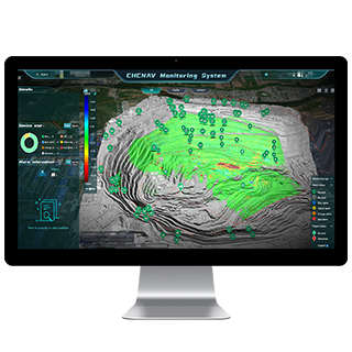
CHCNAV MAS
Cloud-Based Monitoring and Alarm Platform