
27 Oct 2026
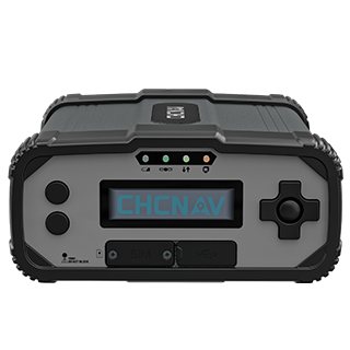
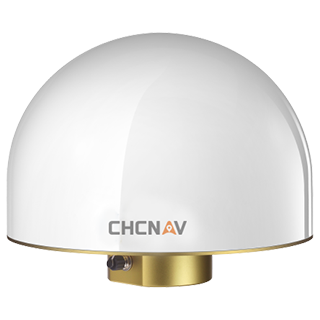
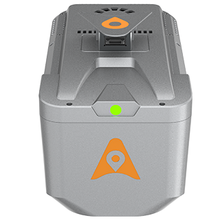
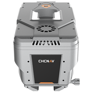
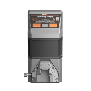
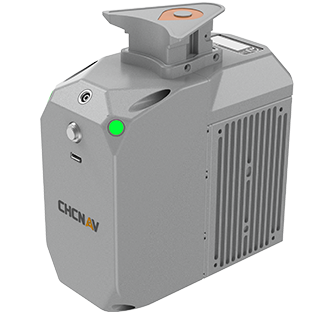
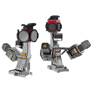
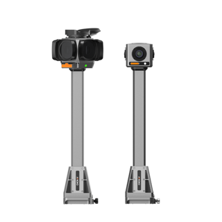
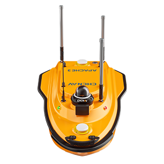
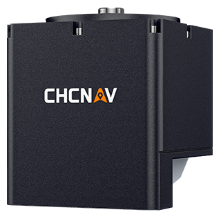
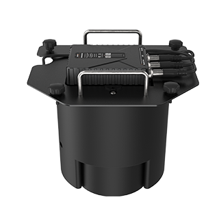
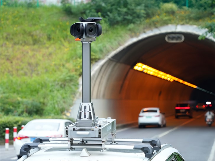
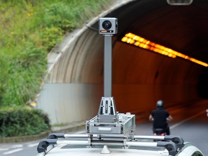
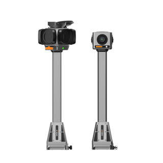
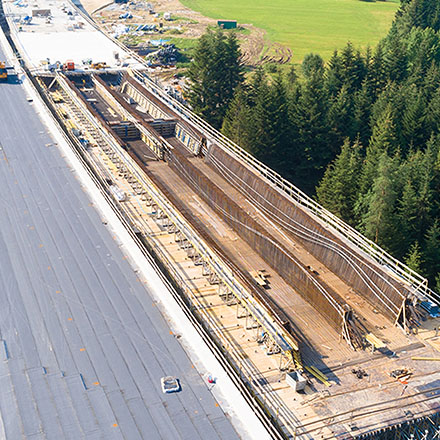
Shanghai, China, October 27, 2026. CHC Navigation (CHCNAV), a global provider of geospatial solutions, announced the launch of the MP7, a mobile panoramic mapping system combining high-precision GNSS/INS positioning with 360° imaging for georeferenced data acquisition. Designed for vehicle-mounted surveys, the MP7 provides centimeter-level post-processed positioning accuracy for road asset mapping, infrastructure inspection, and street-level documentation.
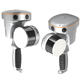
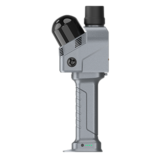
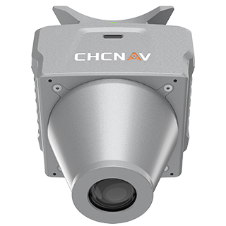
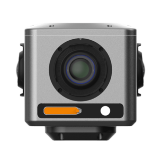
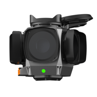
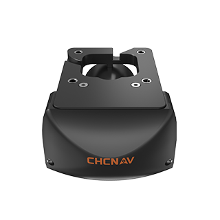
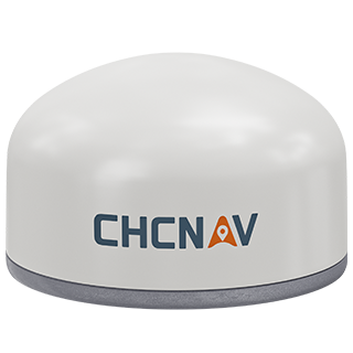
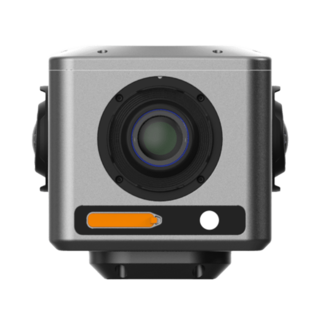
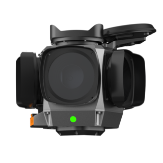
The MP7 offers a complete solution for panoramic data acquisition and processing. Compatible with CHCNAV C4800 and C7200 cameras, it provides flexible imaging configurations to meet different project requirements.
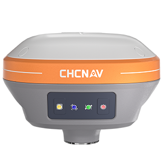
The MP7 integrates GNSS and a high-precision inertial navigation system (INS) to determine the position and orientation of captured panoramic images. Under unobstructed test conditions, it achieves post-processed positioning accuracy of 0.010 m horizontally and 0.020 m vertically (RMSE). This positioning capability allows survey teams to associate panoramic imagery with geographic coordinates along survey routes, providing reliable spatial references for road asset inventories and infrastructure documentation.
The MP7 supports three image triggering modes: time triggering, GNSS distance triggering, and distance measurement indicator (DMI) triggering. Operators can configure image capture intervals according to time or distance traveled to match vehicle speed and survey requirements. Distance-based triggering helps maintain consistent image spacing as vehicle speed changes, reducing unnecessary overlap and gaps in panoramic coverage along survey routes.
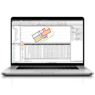
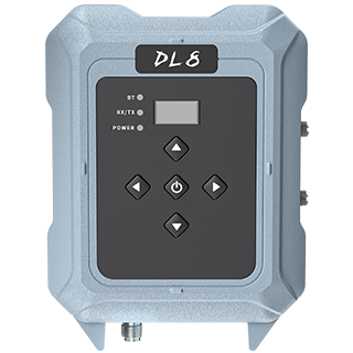
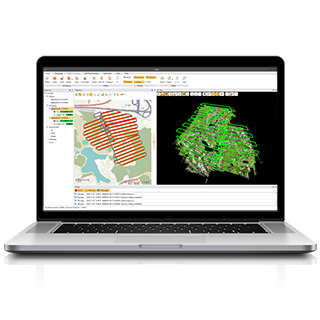
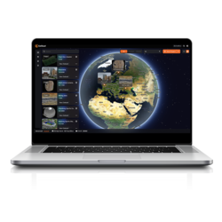
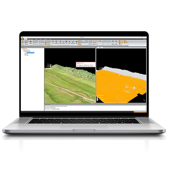
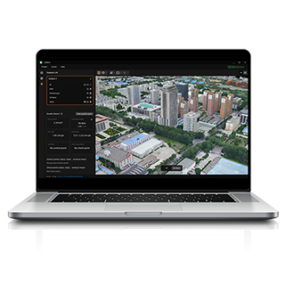
The MP7 combines CHCNAV SmartGo and CoPre software to streamline panoramic data acquisition and processing. During field operations, SmartGo displays real-time trajectories and image previews, allowing operators to monitor survey progress and check captured data before leaving the site. CoPre handles post-processing of positioning and orientation data, panoramic stitching, image processing, and visualization. Together, these tools provide an integrated workflow from field acquisition to georeferenced panoramic deliverables for project review and documentation.
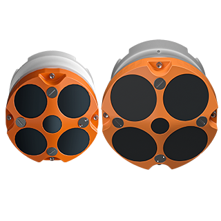
The MP7 supports vehicle-mounted configurations with either the C4800 or C7200 panoramic camera, offering 32 MP and 72 MP panoramic imagery, respectively. System configurations can be selected according to image resolution and acquisition requirements.
For product availability, camera selection, DMI integration, and software configuration, contact CHC Navigation or an authorized partner.
CHC Navigation (CHCNAV) develops advanced mapping, navigation, and positioning solutions designed to increase productivity and efficiency. Serving industries such as geospatial, agriculture, machine control, and autonomy, CHCNAV delivers innovative technologies that empower professionals and drive industry advancement. With a global presence spanning over 140 countries and a team of more than 2,200 professionals, CHC Navigation is recognized as a leader in the geospatial industry and beyond. For more information about CHC Navigation [300627.SZ], please visit: https://www.chcnav.com/about/overview
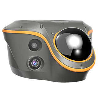
CHCNAV MP7
Mobile Panoramic Mapping System
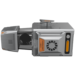
CHCNAV C4800
Compact Industrial 360° Camera
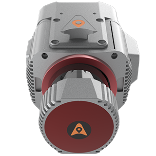
CHCNAV C7200
High-performance Industrial Panoramic Camera