We are pleased to announce that CHC Navigation (CHCNAV) will be exhibiting at MundoGEO Connect 2025, taking place from June 3 to 5, 2025, at the Expo Center Norte – Pavilhão Azul in São Paulo, Brazil.
CHC Navigation (CHCNAV) is a global geospatial technology company committed to delivering innovative, high-precision solutions that improve the productivity and efficiency of professionals in surveying, mapping, and spatial data management. With a presence in over 140 countries and a team of more than 2,000 dedicated experts, CHCNAV supports geospatial professionals to tackle complex challenges with confidence.
Featured Solutions at MundoGEO Connect 2025
At booth 304, CHCNAV will showcase its latest geospatial innovations:
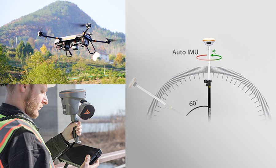
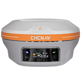
i93 Visual IMU-RTK GNSS Receiver combining advanced GNSS technology with an integrated inertial measurement unit (IMU), the I93 offers robust positioning accuracy even in challenging environments.
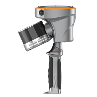
RS10 Handheld SLAM Laser Scanner integrates GNSS RTK, laser scanning, and visual SLAM technologies into a single, lightweight device. This fusion enables real-time 3D mapping with up to 5 cm accuracy.
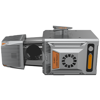
AlphaUni 20 Multi-Platform LiDAR System designed for versatility, the AlphaUni 20 delivers high-density point clouds with absolute accuracy ranging from 2 to 5 cm. Its multi-platform compatibility allows for deployment on drones, vehicles, and backpacks, making it suitable for a wide range of applications, from urban planning to environmental monitoring.
MundoGEO Connect 2025 is Latin America's premier geospatial technology event, expected to attract over 10,000 professionals from more than 30 countries. The exhibition will showcase solutions in remote sensing, geographic intelligence, reality capture, mapping, and urban registration. Additionally, the event will feature courses, seminars, and workshops covering topics such as artificial intelligence, BIM, digital twins, GIS, laser scanning, and drone technologies.
We invite you to visit us at booth 304 to explore how CHCNAV's geospatial solutions can support your geospatial projects. Engage with our experts to discover tools that can optimize your workflows and deliver accuracy and efficiency!
.png)