最近の検索
クイックリンク
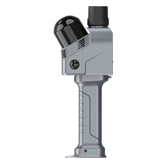
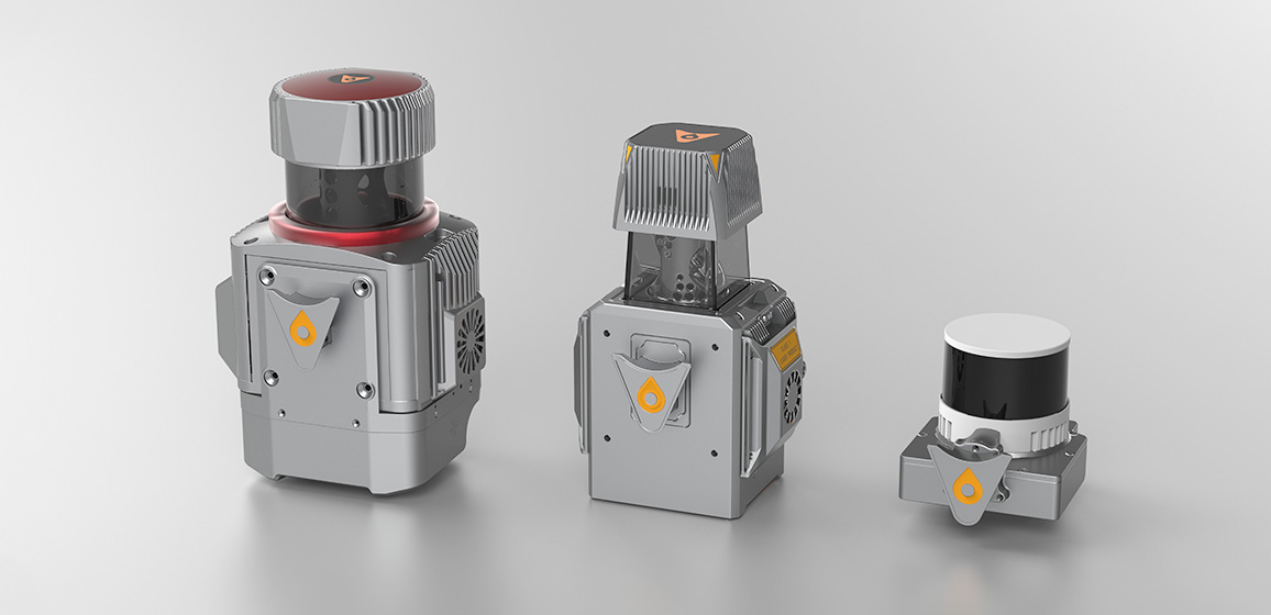
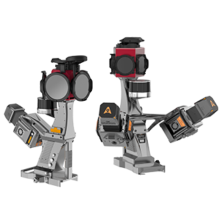
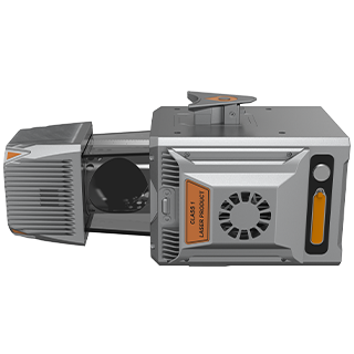
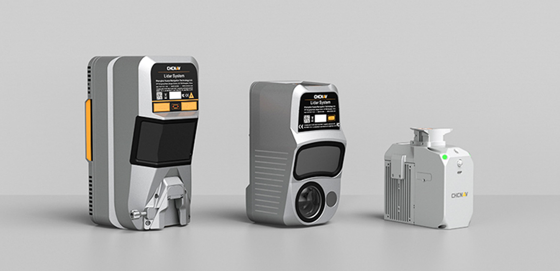
- i100
- i85
- x500
- RS10
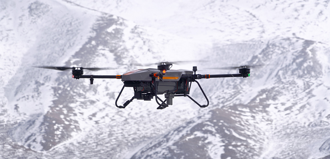
- Apache 4
検索用語
情報源
- すべてのタイプ
-
製品 -
ニュース -
イベント
製品
ニュース
イベント
地域または言語を選択
地域
グローバル

.png)


.png)
.png)